Dog Mountain Snowshoe Trail in North Vancouver
Dog Mountain Snowshoe Stats
- Rating
Difficult hikes offer big climbs with lots of elevation gain and technical terrain, some requiring a full day’s effort. Generally, difficult hikes should not be undertaken by children or novice hikers. These are rated as ‘hikes’ and not ‘walks’ so even something rated as easy may have a few sections of challenging terrain.
More on how we measure trails - Easy
- Distance
For the out-and-back hikes, the distances offered for each hike are measured from the trailhead, to the summit, and then back to the trailhead. Distances, even when provided to a fraction of a kilometer, are only rough estimates.
More on how we measure trails - 4.5 km
- Net Elevation Change
The listed elevation gain is the simple math of the difference in the starting elevation and the summit, in meters. It is not a cumulative calculation of the total elevation gained during the hike. This means, in most cases, you will actually climb more than the listed net elevation gain.
More on how we measure trails - 34 m
- Highest Point
- 1,054 m
- Time Needed
The completion times of the hikes are estimates and will, naturally, vary per individual, ability, and weather conditions. The times offered, however, are meant to be generous.
More on how we measure trails - 2 hours
- Type
- Out-and-back
- Season
Each hike has a corresponding season when the trail is most likely to be in good condition. However, as the snowmelt can vary each year, these too, are estimates. It is best to confirm the current trail conditions before heading out.
More on how we measure trails - November to April
- Dogs Allowed
If hiking with dogs is allowed, it does not necessarily mean that the trail is ‘dog-friendly’. Even though dogs might be allowed, it may be a bad idea to bring them on certain Vancouver hikes (due to ladders, difficult sections, boulder fields, etc).
More on how we measure trails - Yes, on leash
- Est. Driving Time from Vancouver
- 30 min
- Trailhead Coordinates
- 49.367516, -122.949211
*For a better understanding of the stats and difficulty rating, check out the Hiking Guides page for details. Always carry The Essentials and fill out a trip plan.
Usually in season as shown; check current conditions before you go.
Dog Mountain Snowshoe Trail Intro
Dog Mountain is a great snowshoe trail in Mount Seymour Provincial Park. The trek is fairly easy, making it a great place to head for a comfortable trek during the winter months. The trail has some ups and downs along with the occasional awkward section, but overall this is a flat and beginner-friendly snowshoe trail. There are plenty of markers and the trail is well used so your chances of straying off-course are minimal.
If you’ve never been on snowshoes before, a trip out to Dog Mountain is the perfect place to see what the hype is all about. Maintained by Metro Vancouver, the Dog Mountain trail is free to use and dogs are allowed. All these factors make a Dog Mountain snowshoe the perfect family outing. Not to mention the spectacular view of Vancouver from the summit.
The summer version of the Dog Mountain guide can be found here.
Avalanche Awareness
Avalanche.ca rates this route as Class 1 (Simple) terrain: “Exposure to long angle or primarily forested terrain. Some forest openings may involve the runout zones of infrequent avalanches. Many options to reduce or eliminate exposure. No glacier travel.” Use the Avalanche.ca Trip Planner to factor in the risk levels with current avalanche forecasts. More information about winter travel and avalanche safety can be read here.
Dog Mountain Snowshoe Map and Elevation
Map and elevation profile
The listed elevation gain is the simple math of the difference in the starting elevation and the summit, in meters. It is not a cumulative calculation of the total elevation gained during the hike. This means, in most cases, you will actually climb more than the listed net elevation gain.
More on how we measure trailsMap loads as it approaches the screen.
Dog Mountain Snowshoe Video
Here is a 4-minute video of our experience on this hike!

Subscribe to our YouTube channel to see our newest videos!
Dog Mountain Winter Route
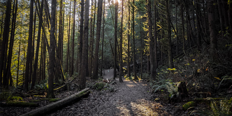
To get to the trailhead, drive up to the Mount Seymour parking lots (the road to Mt Seymour is a Class A Highway and requires drivers to use winter tires or carry chains between October 1st – April 30th). At the end of the parking lot, you will see the B.C. Parks information board. Check out the map and get your bearings for the hike. From the parking lot you head north, just left of the chair-lift/ ski run.
Almost immediately, you will see a sign for First Lake with trails to your left (going straight will take you up the 3 peaks of Mount Seymour – a much more difficult hike). Follow the sign for First Lake and head left into the trees. You will drop down a bit and begin winding your way through the trail.
Pro-tip: The trail is heavily used, and unless there has been fresh snowfall and you are breaking trail, you can usually fair quite well (or even better) hiking out to Dog Mountain in MICROspikes (or Hillsound trail crampons). Before heading up, you can also look at the Mount Seymour Provincial Park website to see if there are any updates on the trail conditions.
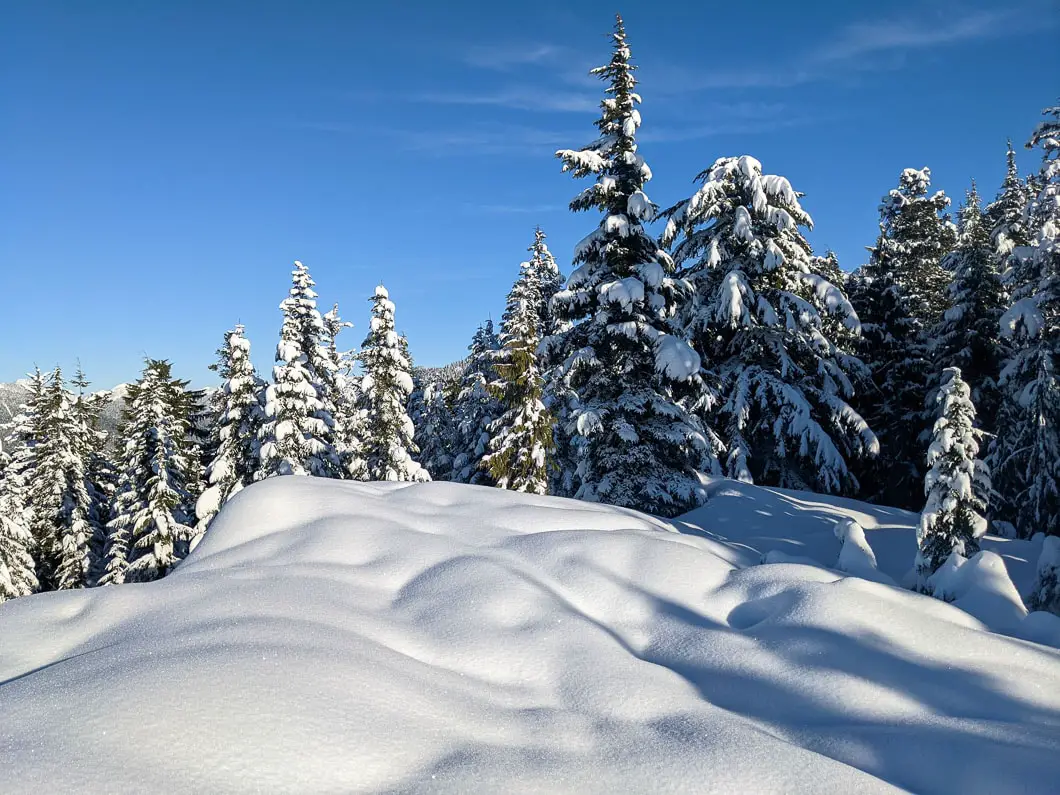
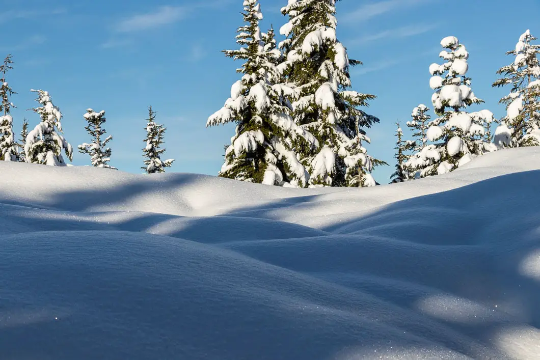
After about 1 km, or 30 minutes of hiking, you will reach First Lake (which will of course be a field of snow). This is about the halfway mark, and if you want a break this is a great place to do it.
Cool fact: “Although the first recorded climb of Mount Seymour was made in 1908 by a party from the BC Mountaineering Club, Mount Seymour was virtually unknown to most of the residents of Vancouver and vicinity until the late 1920s.” [Source]
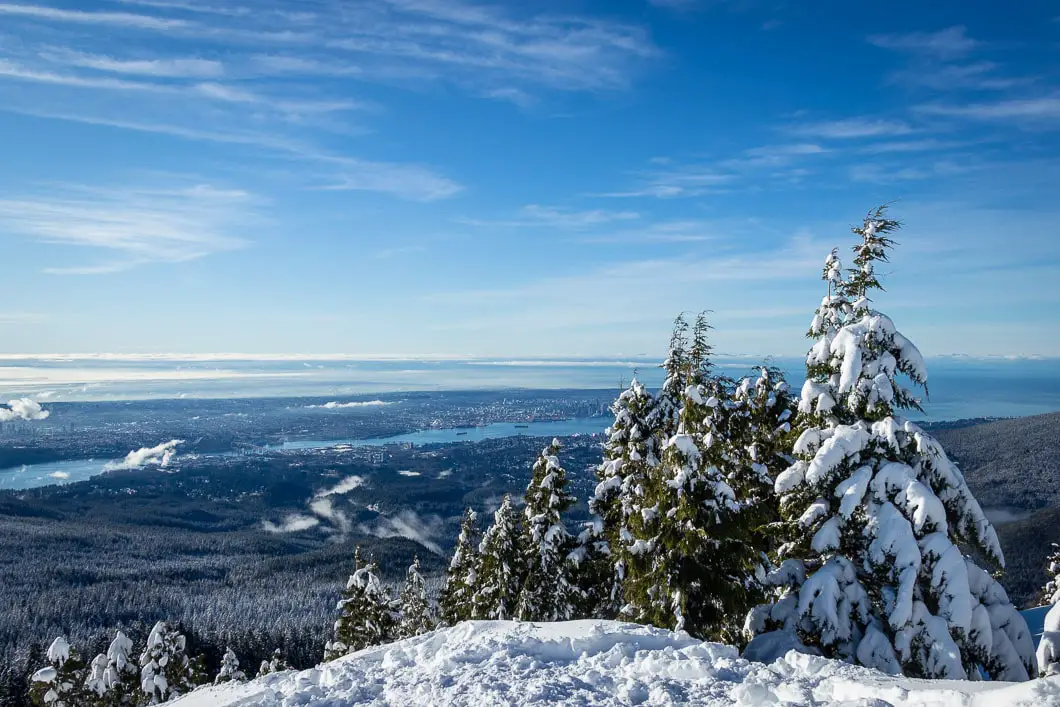
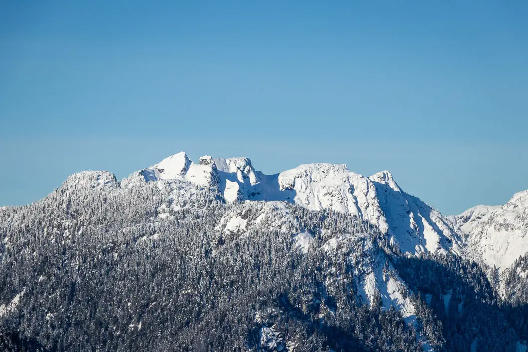
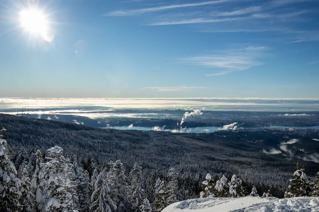
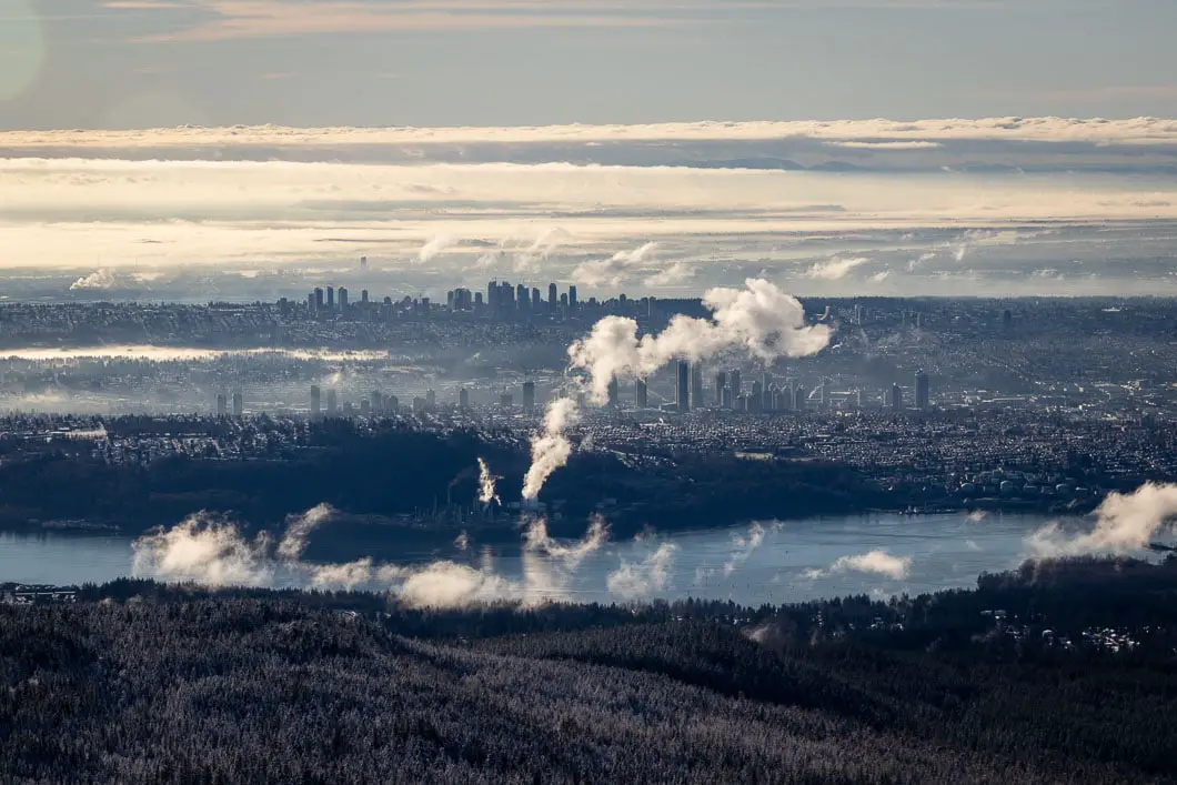
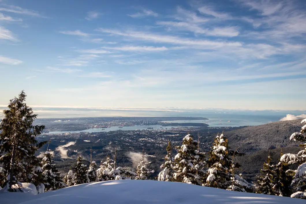
Carrying on west of the lake, you’ll see a sign for Dog Mountain along the same trail you took to get to the lake. Simply follow the markers and after some slight uphill climbing, you’ll be at the spectacular viewpoint (assuming you’re lucky enough to have a clear day) which extends from Mt. Baker in the east to Stanley Park and beyond in the west. You’ll also have a great view of Grouse Mountain and several nearby mountains.
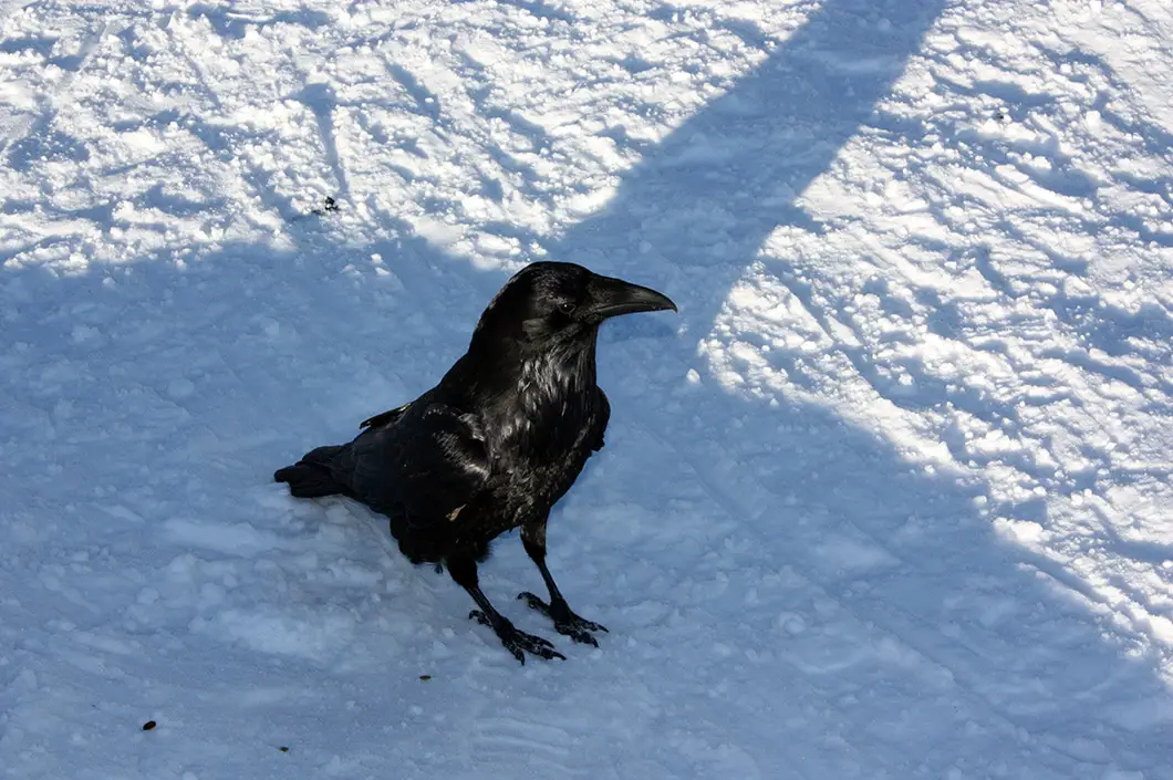
Now you can rest, soak up the view, take some pictures and hang out with the resident ravens – all before retracing your steps back to the parking lot.
Directions and Parking
Get directions to the trailhead
Drive east on Highway #1 over the Iron Workers Memorial Bridge. Take exit #22 for Mt. Seymour Parkway and follow it for about 10 minutes until you see the signs for Mount Seymour Provincial Park. Here, you turn left at Mt. Seymour Road and follow the road all the way up the to Seymour parking lot. The trailhead is at the northern-most point of the lot.
The park gate is closed from 10 pm – 7 am during the winter until April 30th. The road to Mt Seymour is a Class A Highway and requires drivers to use winter tires or carry chains between October 1st – April 30th.
Winter parking designations are in effect from November to April. On peak days during the winter months, parking capacity can be exceeded at the upper parking lots of Mount Seymour Park. These parking lots service the customers of Mount Seymour Resorts Ltd., who pay a fee to ski, snowboard, snowshoe and snowtube. Visitors accessing the backcountry, areas outside of the Mt. Seymour Resorts Ltd. ski area are required to park in parking lot 1 and lower parking lot 5. Overnight parking is permitted in parking lot 1.1
A map of the parking lots is here.
Google Map directions are available here.
The 14 Best Snowshoe Trails Around Vancouver
Click here to read our guide to snowshoeing in and around southwest B.C.
Download the PDF version of this guide for offline use
Related hikes
 Moderate
Snowshoe Grouse Grind (Winter)
North Vancouver · North Shore
- km
- 5
- gain m
- 215
- hours
- 1
- drive
- 30m
 Moderate
Mount Seymour (Pump Peak - Winter)
North Vancouver · North Shore
- km
- 7
- gain m
- 373
- hours
- 4
- drive
- 30m
 Moderate
Hollyburn Mountain (Winter)
West Vancouver · North Shore
- km
- 8
- gain m
- 440
- hours
- 3.5
- drive
- 30m
 Easy
Whyte Lake
West Vancouver · North Shore
- km
- 5
- gain m
- 178
- hours
- 2
- drive
- 30m
More like Dog Mountain (Winter)
See all 44 North Shore trails in the Finder → Easy
Bowen Lookout (Winter)
West Vancouver · North Shore
- km
- 4
- gain m
- 98
- hours
- 2
- drive
- 30m
 Easy
Capilano River Regional Park
North Vancouver · North Shore
- km
- 4
- gain m
- 0
- hours
- 1.5
- drive
- 30m
Comments (7)
Comments are closed. These are archived from the original guide.
Jen —
“To get to trailhead” is a bit confusing, as it states Cypress (and Dog Mt is on Mt. Seymour). I think if you’re renting snowshoes at Seymour, they have you buy a trail pass too.
Karl Woll —
Thanks for pointing out the typo, slight brain-malfunction on my part.
As for charging for a pass – I’ve never rented snowshoes up there but maybe they are assuming you want to use the pay-for-access trails within the resort boundaries.
I’d mention you are wanting to use the BC Parks trails
robin —
Have you been up on the trail recently? Since we’ve had all this recent rain? I’m curious about the trail conditions and the Parks Canada trail report is a month out of date so completely useless.
Reece —
Just hiked it today – trail is well-traversed, and fairly icy in a fee spots, but still offers a really nice trek. Wouldn’t advise snowshoes though, as the path is worn so deeply into the snowbanks that navigating in them can be challenging. Decent hiking shoes will suffice.
Karl —
I hiked it early January. You can check out the current weather/ snow conditions for Seymour Mountain and that should give you a good idea of how much fresh snow there is.
Live Trails is another good site worth checking out, but no one has any recent updates for Dog: http://www.livetrails.com/
jo —
Can we snowshoe DOG after 4pm?
Karl W —
Yes you can, but if you begin your trip before 4pm, you’ll need a day-use pass from BC Parks right now (https://bcparks.ca/explore/parkpgs/mt_seymour/)