Brandywine Meadows – Table of Contents
- Hike Introduction
- Hike Statistics
- Brandywine Meadows Video
- Map and Elevation
- Hiking Route Description
- Camping
- Directions and Parking
- Free PDF Download
Brandywine Meadows Hike Intro
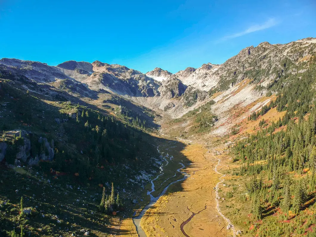
Brandywine Meadows is a spectacular hike in Callaghan Valley near Whistler. It is a moderately challenging hike that takes you to a gorgeous meadow, surrounded by snow-capped peaks.
Brandywine Meadows is often less busy than comparable nearby hikes because of the difficult drive to the trailhead.
From the meadow, Brandywine Mountain can be scrambled by those wanting a bigger challenge. It is also possible to camp in the meadow.
There are two routes for this hike. One is a shorter, easier trail that can only be accessed by 4×4 vehicles. The longer trail has more elevation gain and distance but can be accessed by two-wheel drive cars with high clearance.
The guide below describes the route from the lower, (2WD) parking lot.
You can expect plenty of mud on this trail, even well into the summer. Snow will often persist in the meadow into July. Brandywine Meadows is best saved for the late summer. The wildflowers are out, and the bugs and mud will be at a minimum.
Despite the relatively short distance, this is a challenging hike because of the elevation gain, and the rugged terrain. From the trailhead to the meadow you gain roughly 500 m of elevation gain over 3 km.
Brandywine Meadows Hike Stats
Rating: Difficult
Distance: 7 km
Net Elevation Change*: 538 m
Highest Point: 1,460 m
Time Needed: 3.5 Hours
Type: Out-and-back
Season: July – October
Dogs Allowed: Yes, on leash
Est. Driving Time from Vancouver: 2 Hours
Trailhead Coordinates: 50.078350, -123.186329
*For a better understanding of the stats and difficulty rating, check out the Hiking Guides page for details. Always carry The Essentials and fill out a trip plan.
Brandywine Meadows Video
Here is a 2-minute video of our experience on this hike!
Brandywine Meadows Hike Map and Elevation
Brandywine Meadows
Profile
Brandywine Meadows Hiking Route
From the lower parking area (directions) you will see the Brandywine Meadows Trail marker off on the right. This sign marks the start of the trail, along with an old B.C. Parks sign that is (as of 2018) faded and no longer legible.
The Brandywine Meadows Trail is a singletrack trail, that begins to climb right away. The trail is rugged and Brandywine Creek is running off to your left. The trail will loosely parallel this creek up to the meadow.
The trail is technical terrain with difficult footing in sections. It is heavily forested but some sunlight finds its way to the floor on clear days.
You will see orange (and sometimes pink) flagging along the trail and square, orange markers in the trees.
After 200 m, or 5 – 7 minutes, you will come to a spot where you can see Brandywine Creek. Here, the trail veers to the right and continues to climb uphill.
The trail is not always well-maintained, so there may be some deadfall to navigate around. This can make the trail hard to pick up in a few spots, so make sure you’re paying attention for the orange markers. You should see a marker every couple of minutes or so.
Overall, it’s a steady climb and should be uneventful. Keep following the markers and grinding up the terrain. After 1 km or about 30 minutes, you’ll approach the creek again.
At about 1.5 km or 45 minutes, the trail levels out, giving your legs a break. The trees thin out a bit here as well. Once again, you’ll find yourself back along the creek.
The trail now becomes less technical and is well-groomed. It is easier to follow compared to before.
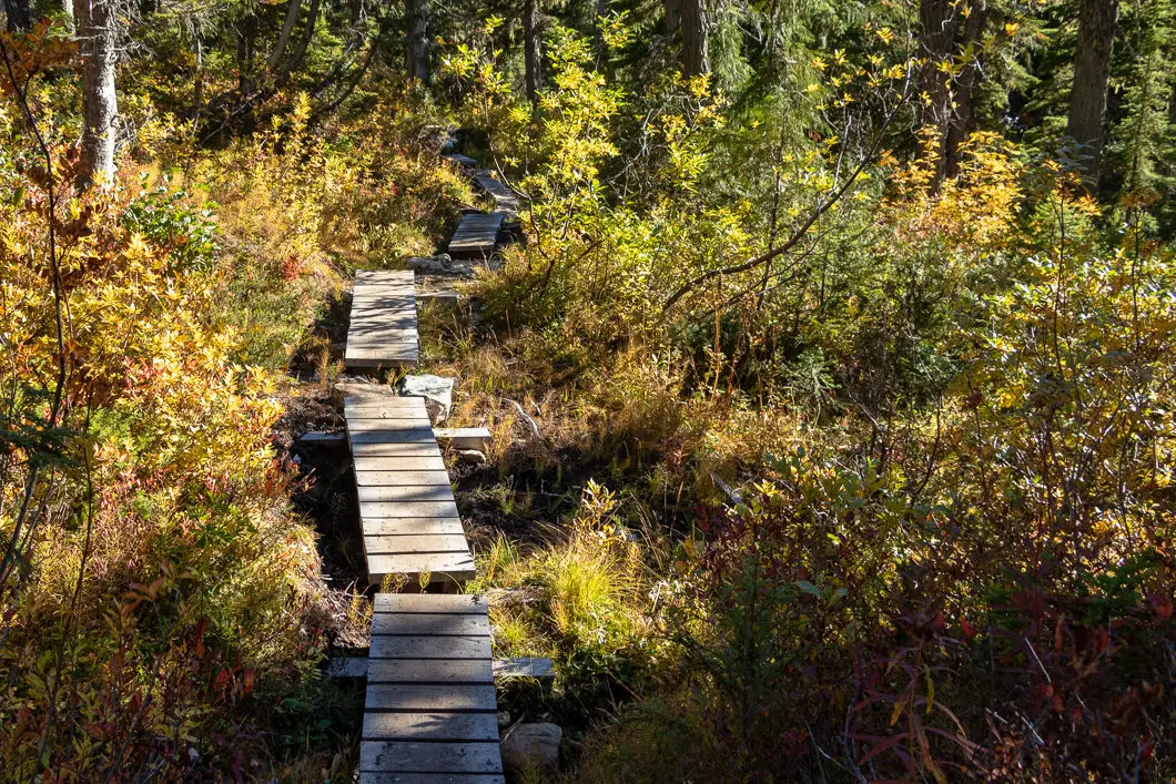
At 1.8 km or about 50 minutes, you will approach a muddy section with boardwalks. The boardwalks with thankfully carry you over most of the mud and streams, but gaiters are a good idea early in the hiking season.
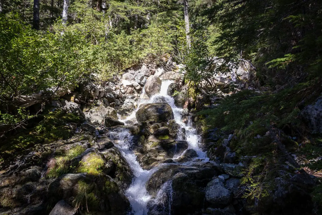
Just over 2 km into the hike, or 1 hour, the trail climbs more steeply again and you’ll come to a waterfall on the left. The waterfall is partially visible through the trees.
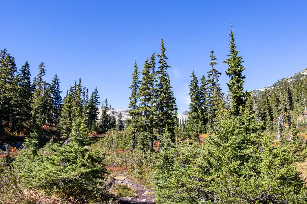
As you come to the top of a climb, around 2.3 km into the hike, there will be a fork. Go left at the fork. There may be a ribbon in the tree here, helping you at this junction.
After the fork, the trail levels out again, and you begin walking into Brandywine Meadows. You will see faded-orange markers in the trees. You will also start to see mountains ahead on your right.
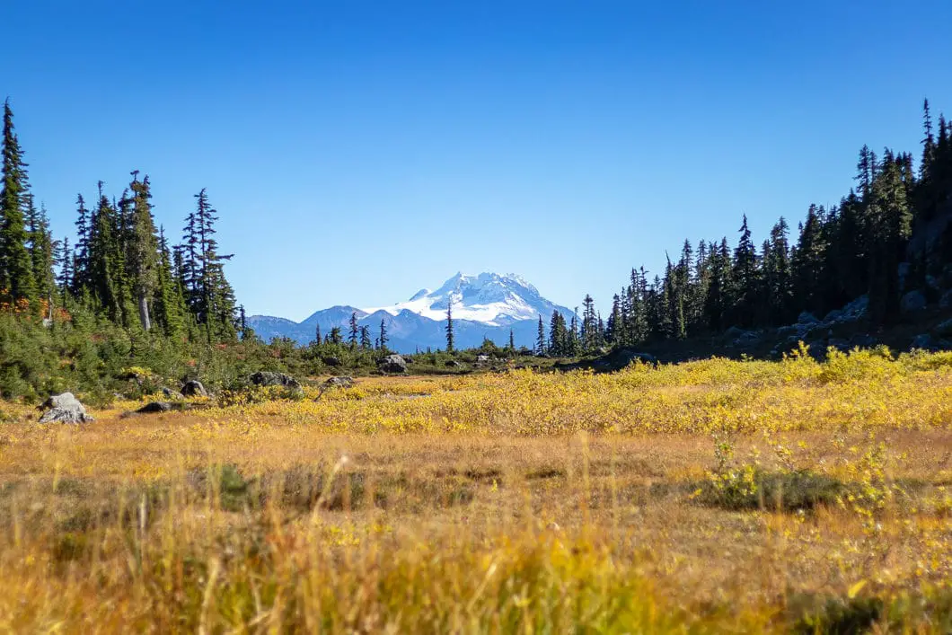
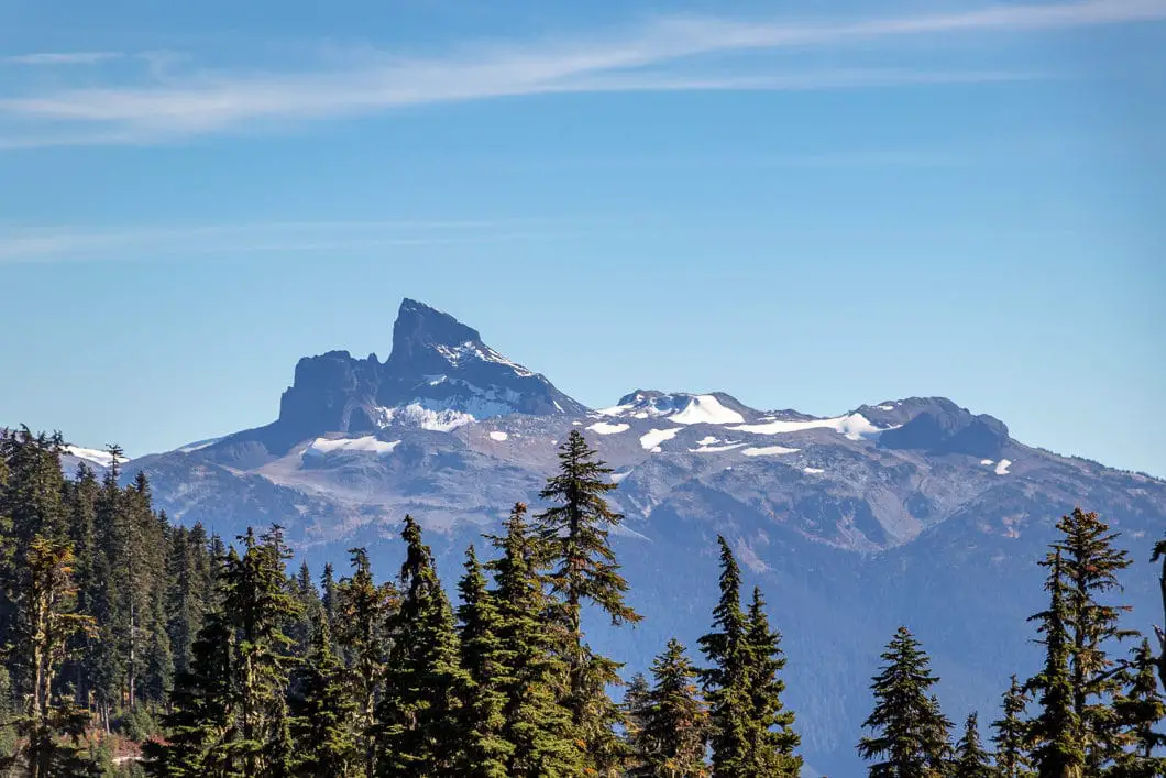
After approximately 1 hour and 15 minutes, the landscape begins to change dramatically as you fully emerge into the meadow. Behind you, you can see Black Tusk and Mount Garibaldi off in the distance.
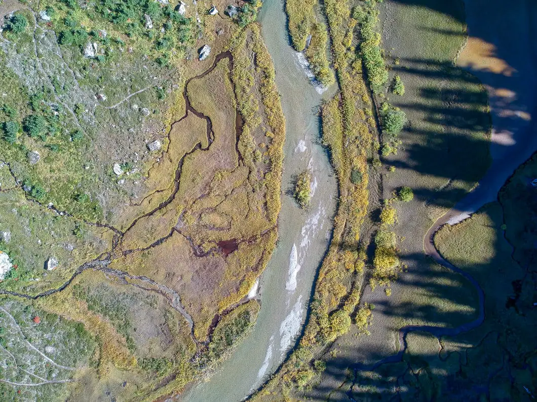
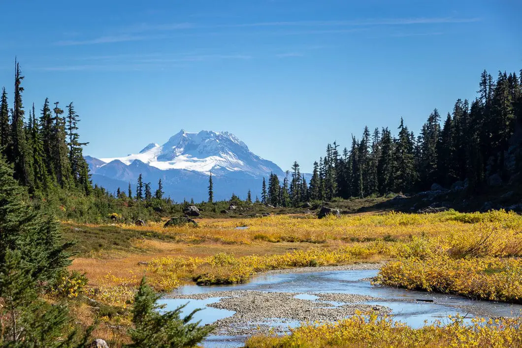
Brandywine Meadows and Brandywine Mountain will now be directly ahead of you along the trail, and Metal Dome is on your right. You’ll come to a junction with the alternate trail for the 4×4 parking lot. A tranquil creek runs through the meadow to your left.
As you approach Brandywine Mountain, you have 360-degree views, with snow-capped mountains and glaciers surrounding you. In the late summer, wildflowers only add to the beauty of the meadow.
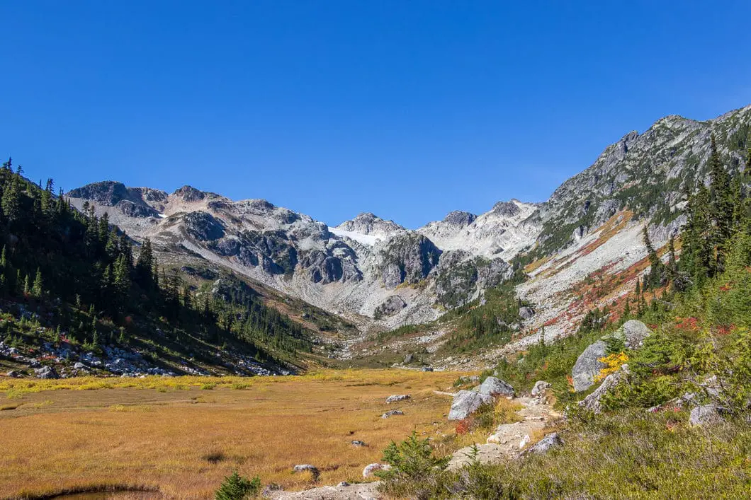
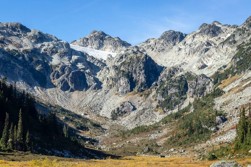
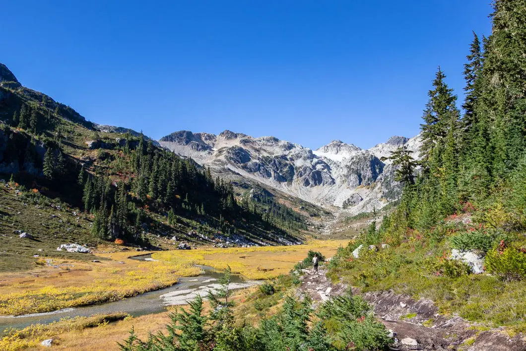
You can stop anywhere you like to rest and enjoy the scenery, or you can follow the trail all the way to the end of the meadow.
It’s possible to scramble to the summit of Brandywine Mountain, but that is beyond the scope of this guide. It is a steep and unmarked route. Climbing Brandywine Mountain will add about 750 m of climbing and 3 hours to your day. Those who climb Brandywine often camp at the base, but it can be done as a day-hike.
“By one account, the name of the mountain comes from a wager between two members of a railway survey party in 1910. A bottle of brandy was bet against a bottle of wine over the height of what is now known as Brandywine Falls, which was measured with a chain”. [source]
When you’re ready to head back, retrace your steps back to your car.
Download the PDF version of this guide for offline use
Camping at Brandywine Meadows
There are no tent pads or camping facilities in Brandywine Meadows, but camping is allowed.
If you’re camping, please set up in a flat area that will minimize damage to vegetation.
There is plenty of fresh water in the meadow. Campfires are not permitted.
Directions and Parking
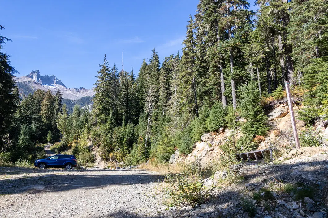
Getting to the trailhead is no easy task. There are two parking lots. The ‘upper’ parking lot requires a 4×4 vehicle with large clearance. This parking lot takes you higher up the mountain, making the hike in shorter and easier.
The ‘lower’ parking lot can be reached by a 2WD car with high clearance, though it is not an easy road. The directions to reach the lower parking lot are described below.
Take the Sea to Sky Highway north towards Whistler. Turn left onto Callaghan Road about 3 km north of Brandywine Falls Provincial Falls and 14 km south of Whistler Village. Take the first left where there is a sign for Brandywine Valley, and stay left past the waste transfer station.
Drive through the large gravel parking lot and pick up the road on the other side. You’ll now be on the Brandywine Forestry Service Road. The road becomes bumpy with lots of potholes.
The road does two sharp hairpin turns up a hill. At the top, you come to a junction. Stay straight. You will come to another junction. It’s marked for upper lot. That is the route that requires a 4×4. Stay left, and immediately there is another junction. This time stay to the right.
Soon after you might notice a small green sign that reads ‘lower parking and trailhead’ and a gate near the 6 km marker on the chain link fence.
After this point, there is one final steep hill. If you’ve made it this far easily, you can probably make it all the way to the top. But it is a steep and difficult stretch, so if you’re unsure, it’s best to park here and walk 10 – 15 minutes to reach the trailhead.
The parking lot is a big open gravel area with a yellow gate to prevent you from driving any further.
Note, during the winter months the road is used for snowmobiling and is closed to the public. It usually opens up around May when the snow is gone.
Google Map directions are here.
Other great hikes in this area
- Garibaldi Lake (moderate)
- Panorama Ridge (difficult)
- Black Tusk (difficult)
- View all hiking guides here
Download the PDF version of this guide for offline use


RM
Hi there, I noticed you wrote that there are no camping facilities, just want to confirm that means there are no bear bins/ bear hangs and that we’d need to hang our food in the tree? Thanks so much !
Karl W
Yes, that’s correct. There are no bear caches (unless they’ve been added recently). There also aren’t a ton of large trees near the top, so you may need to walk a bit to find a suitable hang spot.