Panorama Ridge Hike in Garibaldi Provincial Park
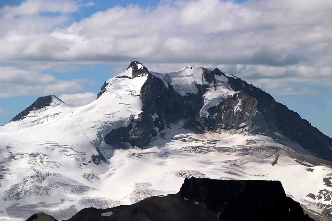
Panorama Ridge Hike Stats (From Garibaldi Lake Campground)
- Rating
Difficult hikes offer big climbs with lots of elevation gain and technical terrain, some requiring a full day’s effort. Generally, difficult hikes should not be undertaken by children or novice hikers. These are rated as ‘hikes’ and not ‘walks’ so even something rated as easy may have a few sections of challenging terrain.
More on how we measure trails - Moderate
- Distance
For the out-and-back hikes, the distances offered for each hike are measured from the trailhead, to the summit, and then back to the trailhead. Distances, even when provided to a fraction of a kilometer, are only rough estimates.
More on how we measure trails - 12 km
- Net Elevation Change
The listed elevation gain is the simple math of the difference in the starting elevation and the summit, in meters. It is not a cumulative calculation of the total elevation gained during the hike. This means, in most cases, you will actually climb more than the listed net elevation gain.
More on how we measure trails - 630 m
- Highest Point
- 2,133 m
- Time Needed
The completion times of the hikes are estimates and will, naturally, vary per individual, ability, and weather conditions. The times offered, however, are meant to be generous.
More on how we measure trails - 5 Hours
- Type
- Out-and-back
- Season
Each hike has a corresponding season when the trail is most likely to be in good condition. However, as the snowmelt can vary each year, these too, are estimates. It is best to confirm the current trail conditions before heading out.
More on how we measure trails - July – October
- Dogs Allowed
If hiking with dogs is allowed, it does not necessarily mean that the trail is ‘dog-friendly’. Even though dogs might be allowed, it may be a bad idea to bring them on certain Vancouver hikes (due to ladders, difficult sections, boulder fields, etc).
More on how we measure trails - No
- Est. Driving Time from Vancouver
- 90 Minutes
- Trailhead Coordinates
- 49.946139 -123.056792
*For a better understanding of the stats and difficulty rating, check out the Hiking Guides page for details. Always carry The Essentials and fill out a trip plan.
Usually in season as shown; check current conditions before you go.
Panorama Hike Intro
Panorama Ridge is one of several amazing hikes within Garibaldi Provincial Park, located between the towns of Squamish and Whistler. The trail to Panorama Ridge takes you up through a forest of Western Red Cedar and Douglas Fir trees, through meadows full of blooming wildflower, and provides one of the most incredible panoramic views you could wish for at the summit. For many who have done extensive hiking around Vancouver, the hike to Panorama Ridge remains a favorite year after year.
The peak of Panorama Ridge sits at 2,133 m and provides breathtaking views of Mt. Price, Mt. Garibaldi, Black Tusk, The Table and Garibaldi Lake (among a myriad of other mountains). It is easy to see where its name is derived. For those in good shape and willing to push themselves, this hike can be accomplished as a day hike. But you can also make this a multi-day hike and start with fresh legs from the campground at Garibaldi Lake or Taylor Meadows.
The trail is typically snow-free by mid-July, though this varies year to year. Late July through September is the sweet spot – wildflowers peak in late July and early August, and the views are clearest before the fall rain sets in.
Panorama Ridge Hike Stats (From Rubble Creek Parking Lot)
Rating: Difficult
Distance: 30 km
Net Elevation Change*: 1,563 m
Highest Point: 2,133 m
Time Needed: 10 – 12 Hours
Type: Out-and-back
Season: July – October
Dogs Allowed: No
Est. Driving Time from Vancouver: 90 Minutes
Trailhead Coordinates: 49.957294 -123.120259
*For a better understanding of the stats and difficulty rating, check out the Hiking Guides page for details. Always carry The Essentials and fill out a trip plan.
Panorama Ridge Video

Panorama Ridge Hike Map and Elevation
Map and elevation profile
The listed elevation gain is the simple math of the difference in the starting elevation and the summit, in meters. It is not a cumulative calculation of the total elevation gained during the hike. This means, in most cases, you will actually climb more than the listed net elevation gain.
More on how we measure trailsMap loads as it approaches the screen.
Panorama Ridge Hiking Route
The trail to Panorama Ridge begins on the Garibaldi Lake Trail from the Rubble Creek parking lot. The initial climb takes you up beside Rubble Creek itself, which you can hear rumbling nearby. The first 6 km of the trail lead you up a series of switchbacks on the Garibaldi Lake trail. It is a steady, uphill climb, with no relief from flat or downhill sections. The trail, however, is wide and well maintained, so there is no worry about technical climbing or getting lost. There are markers every kilometer along this initial stretch of climb through a forest filled with Western Red Cedar and Douglas Fir trees.
Once you reach the 5 km marker, you will quickly after come to a nice view of ‘The Barrier’. The 300 m thick wall of The Barrier is a lava dam that contains the Garibaldi Lake system above. The sheer cliff you see was formed during a massive landslide in 1885, which is also how Rubble Creek received its name.
Crazy fact: “Should the Barrier completely collapse, Garibaldi Lake would be entirely released and downstream damage in the Cheakamus and Squamish Rivers would be considerable, including major damage to the town of Squamish and possibly an impact-wave on the waters of Howe Sound that would reach Vancouver Island” [1].
Continuing on to the 6 km marker there is a major junction, with a fork for the Taylor Meadows and Garibaldi Lake campgrounds. This is a good spot to take a break, before taking the trail towards Taylor Meadows. Alternatively, if you have chosen to camp at Garibaldi Lake, you can head that way to set up your campsite and drop your gear, before continuing on to Panorama Ridge via the Black Tusk/ Cinder Flats connector trail. However, this guide will continue to describe the route for a direct ascent via Taylor Meadows.
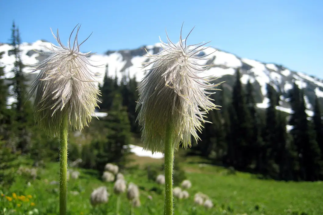
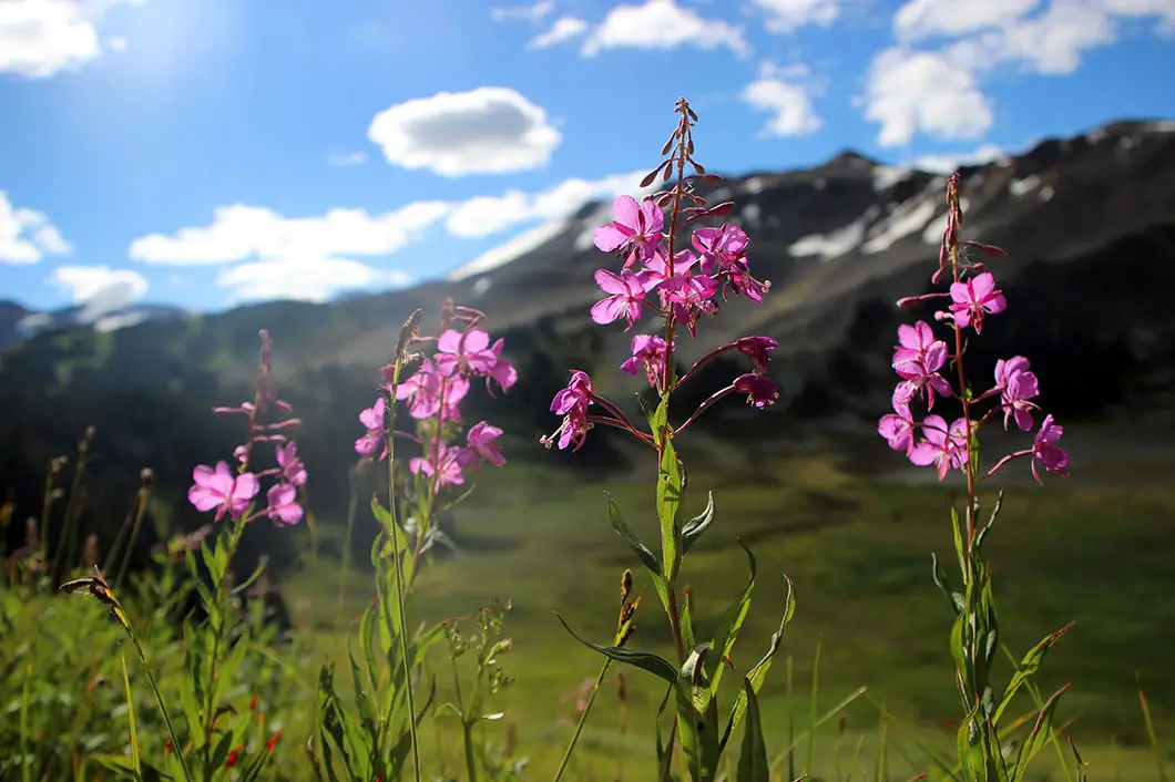
From the 6 km junction, go left onto the Taylor Meadows Trail, and it’s 1.5 km to reach the Taylor Meadows campground, another great spot to camp for the night, though less scenic than the lake. If you are camping here, you can set up your site before continuing on along the Taylor Meadows Trail. Immediately after leaving the campground, you will cross Taylor Creek. This is a great spot to replenish your water supplies.
A few minutes beyond the creek, you will come to a junction, and going right here will take you down to Garibaldi Lake. Continue straight along the Taylor Meadows Trail, enjoying the beautiful open meadow and wildflowers if they are in bloom (July and early August). 2 km past the previous junction, you will come to another major junction, this one called Outhouse Junction, with yet another trail connecting directly from Garibaldi Lake. Unsurprisingly, there is an outhouse here.
As with all the major junctions, there are markers clearly stating which trail you are on, and pointing you in the right direction for your destination – whether it’s Black Tusk, Garibaldi Lake or Panorama Ridge.
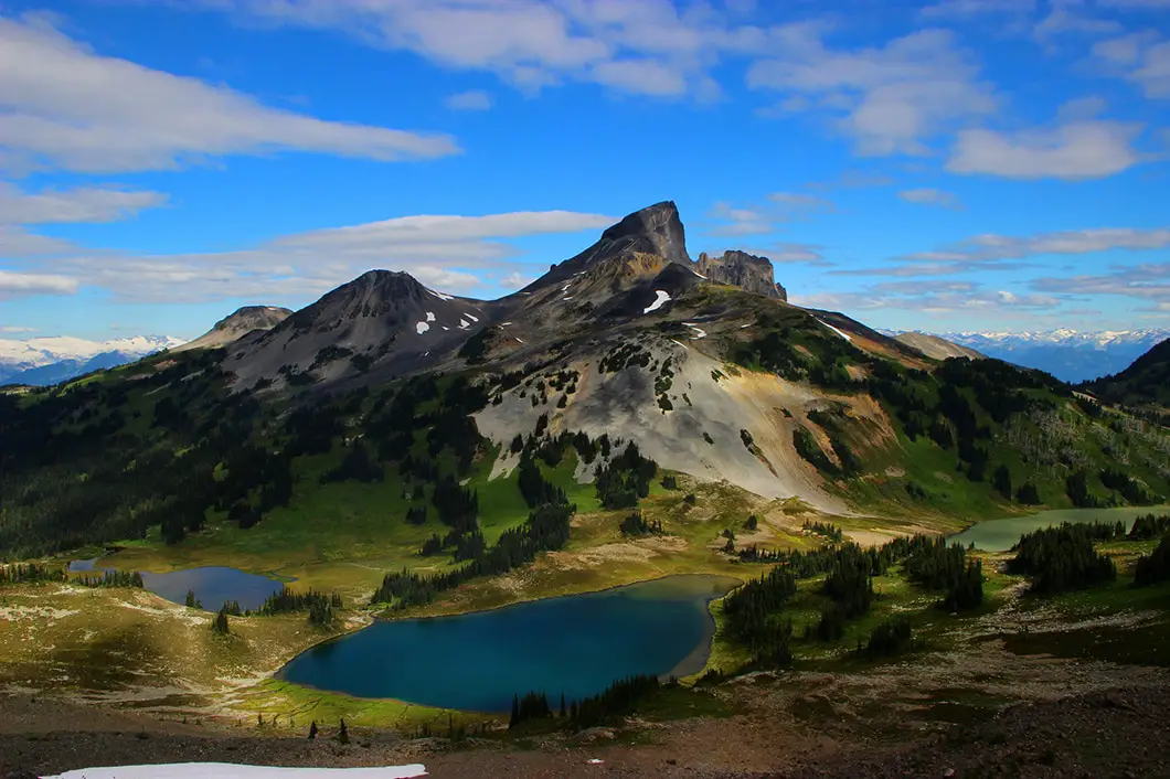
In our case, continue along the trail and within a matter of minutes you will pass by the trail junction for Black Tusk – another amazing hike for another day. You are now in Black Tusk Meadows, and as you meander along the trail you can catch glimpses of Garibaldi Lake and Mount Price to the south, and the mountains of the Tantalus Range to the west. The trail through these meadows is much flatter than the initial 7 km of the hike, making for happier legs and a quicker pace through the scenic landscape.
About 2 km beyond the Black Tusk junction you will get views of Mimulus Lake and Black Tusk Lake below. As you approach Black Tusk Lake, there is a junction to Cheakamus Lake (Helm Creek Trail), continuing to the north, and you can see Helm Lake in that direction. As an aside, it is also possible to drop a second car at Cheakamus Lake and exit the park that way, making this a point-to-point hike.
Stay on the Panorama Ridge Trail, make your way around Black Tusk Lake, and get ready to begin a steep climb up the ridge. As you start to ascend Panorama Ridge, you’ll have views of Black Tusk dominating the skyline behind you, and Black Tusk Lake and Mimulus Lake beside you. East of Black Tusk you have a great perspective on Helm Lake and Cinder Cone. This will be the most challenging part of the trail, partly on loose rock scree, and continually up and up. Snow persists here late into the summer.
There isn’t an obvious route in sections here, so carefully follow the cairns and whatever worn tracks you see to work your way up the ridge until you finally crest the summit. You will immediately forget about your tired legs as you soak up the view is all directions from the top of Panorama Ridge.
Then it’s just a matter of getting back on the trail and retracing your steps to the Rubble Creek Parking lot. If you wish for the return route, you can also detour down to Garibaldi Lake at the Outhouse Junction, adding a little distance, but variety. From the lake, you can carry along the Garibaldi Lake Trail back to your car.
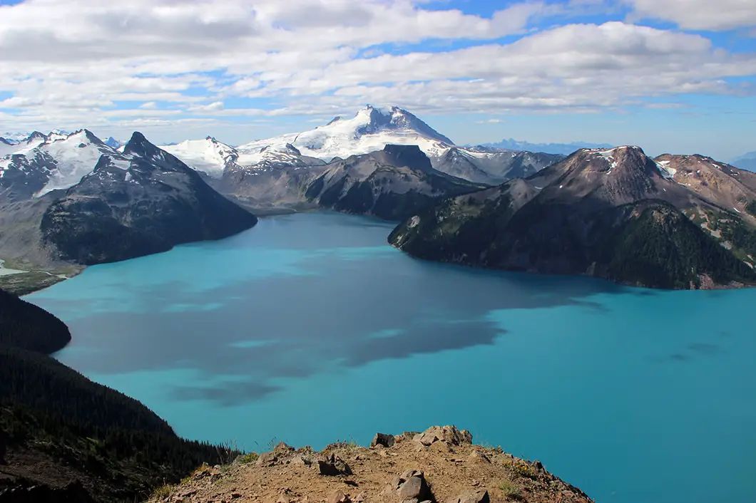
Camping at Garibaldi Park
Camping is what turns Panorama Ridge from an arduous day hike into a proper backcountry experience. With a night at either Garibaldi Lake or Taylor Meadows, you can hit the ridge early in the morning before the day hikers arrive.
Garibaldi Lake vs. Taylor Meadows
These are the two campgrounds you’re choosing between, and the decision matters for Panorama Ridge.
Taylor Meadows is the better choice if Panorama Ridge is your main objective. It sits higher on the plateau and cuts roughly 3km off your approach to the ridge, which adds up when you’re already looking at a big day. The campground is smaller and quieter than Garibaldi Lake, with open meadow views and less foot traffic.
Garibaldi Lake is the more scenic camp by a fair margin, as you’re right on the lake with the full mountain backdrop. But it puts you further from Panorama Ridge. If you want to do both the lake and the ridge in one trip, budget for a long day from Garibaldi Lake camp, or split your nights between the two.
How to Book
Both campgrounds require advance reservations through BC Parks. Spots open four months in advance, and the prime summer dates (late July through August) fill within hours of opening. Set a reminder and book the moment the window opens.
Pricing is currently around $25 per adult per night for backcountry sites. (Verify the current rate at bcparks.ca when booking).
What to Bring
Garibaldi Provincial Park requires a bear canister or bear hang for food storage. Black bears are active throughout the park. Pack your food, scented items, and garbage in a hard-sided canister and store it away from your tent at night.
Water is available from streams near both campgrounds and along the route to Panorama Ridge. Filter or treat everything all water.
Pack in everything, pack it all out. The outhouses at major junctions are your only facility. There is no garbage service.
Shoulder Season
Both campgrounds typically close in mid-October, though the exact dates vary by year. Check the BC Parks website for current closure dates if you’re planning a September or October trip, as snow can arrive early at this elevation.
More details on camping in Garibaldi Park and backcountry camping permits can be found here.
Directions and Parking
Get directions to the trailhead
Take Highway #99 heading north past Horseshoe Bay towards Squamish. Keep driving along the Sea to Sky highway all the way to Squamish. Once you’ve hit downtown Squamish, watch your odometer and keep head north for about another 37 km. Keep a sharp eye out for the Garibaldi Provincial Park sign on your right. Just over the Rubble Creek Bridge you will take a right onto a small paved road that is not hard to miss.
Just continue on for a few kilometers until you reach the parking lot.
BC Parks requires advance day-use reservations for the Rubble Creek parking lot during peak season. Day use parking reservations can be booked through BC Parks.
If you’re camping at Garibaldi Lake or Taylor Meadows, your campsite reservation covers your parking and you don’t need a separate day-use pass.
Google Map directions here.
FAQ
Is Panorama Ridge doable as a day hike?
Yes, but it’s a big one. From Rubble Creek, Panorama Ridge is approximately 30km return with 1,563m of elevation gain. Plan for 10 to 12 hours on the trail. Start before 6 am if you can. Bring more food and water than you think you need, and make sure you have a headlamp in case you’re finishing in the dark.
What month is best for Panorama Ridge?
Late July through September is the sweet spot. The trail is usually snow-free by mid-July, wildflowers peak in late July and early August, and the views are typically clearest before the fall rains arrive. August is the most popular month . Expect company on the ridge.
Do I need a permit to hike Panorama Ridge?
No permit is required for day hiking in Garibaldi Provincial Park, but you will need an advance parking reservation in peak season. If you’re camping at Garibaldi Lake or Taylor Meadows, you do need a campsite reservation through BC Parks as there is no walk-in or self-registration option.
Do I need a parking reservation for Rubble Creek?
Yes, during peak season. BC Parks requires advance day-use reservations for the Rubble Creek parking lot on busy days. Book through bcparks.ca. Arriving without a reservation on a summer weekend may mean being turned away at the gate.
Can beginners hike Panorama Ridge?
We wouldn’t recommend Panorama Ridge as one of your first hikes. The distance and elevation gain from the trailhead are significant, and the exposed ridge requires a full day of sustained effort. Get a few moderate hikes under your belt first — Garibaldi Lake on its own is a great introduction to the area.
Are dogs allowed on Panorama Ridge?
No. Dogs are not permitted anywhere in Garibaldi Provincial Park, including on the Panorama Ridge trail.
Other great hikes in this area
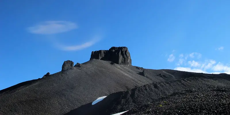 Difficult
The Black Tusk
Whistler · Sea to Sky
- km
- 28
- gain m
- 1750
- hours
- 11
- drive
- 1h30
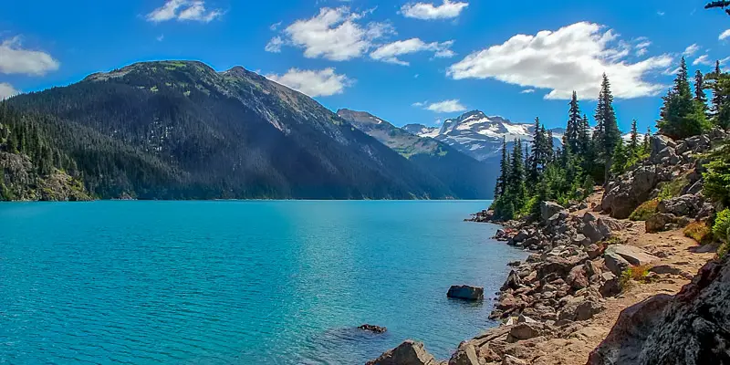 Moderate
Garibaldi Lake
Whistler · Sea to Sky
- km
- 18
- gain m
- 810
- hours
- 6
- drive
- 1h30
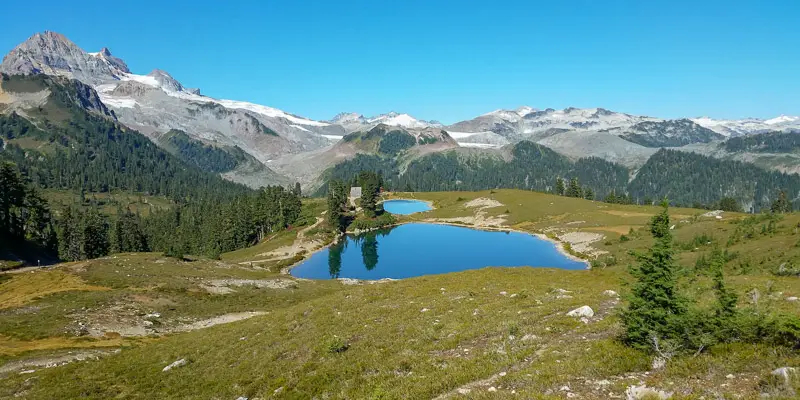 Moderate
Elfin Lakes
Squamish · Sea to Sky
- km
- 22
- gain m
- 600
- hours
- 6
- drive
- 1h30
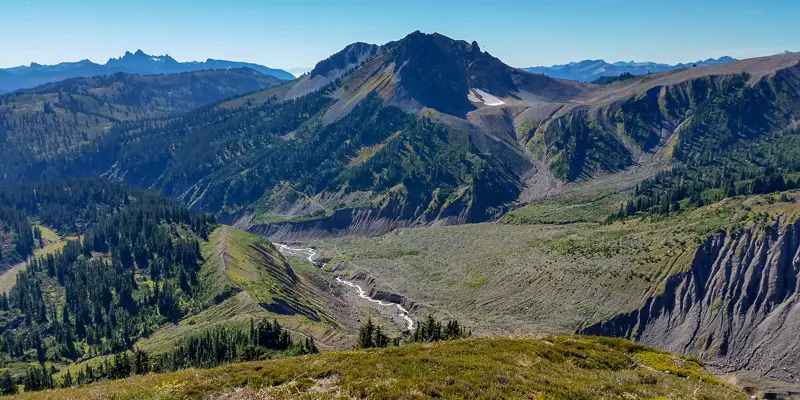
More like Panorama Ridge
See all 30 Sea to Sky trails in the Finder →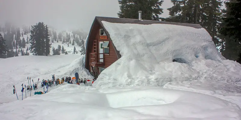 Difficult
Elfin Lakes (Winter)
Squamish · Sea to Sky
- km
- 22
- gain m
- 700
- hours
- 10
- drive
- 1h30
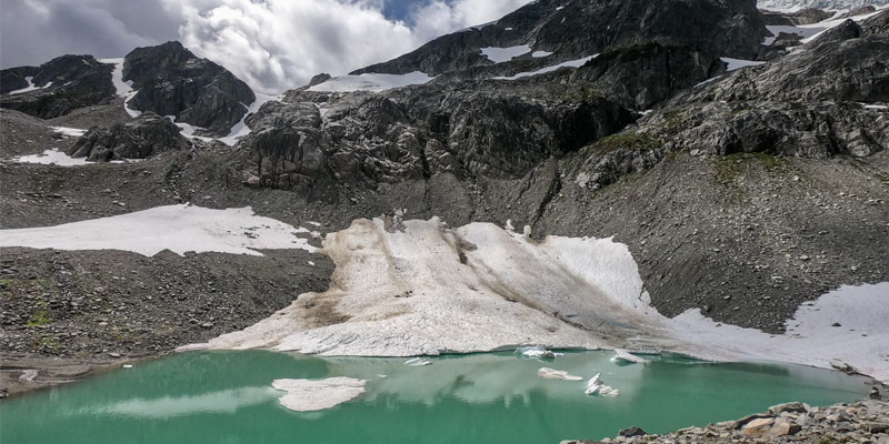 Difficult
Iceberg Lake
Whistler · Sea to Sky
- km
- 15
- gain m
- 889
- hours
- 7
- drive
- 2h
Download the PDF version of this guide for offline use
Comments (28)
Comments are closed. These are archived from the original guide.
Tracey —
My knees tend to swell up when I go hiking for too long, so I’m trying to decide how to break up this hike either by making it a 2-day trip or a 3-day overnighter.
The hike from the parking lot to Garibaldi Lake isn’t a massive workout but I am not sure I would be able to handle 5 more hours by going to Panorama Ridge and back to the campsite at Garibaldi Lake in Day one? For someone in my case, would it make more sense to take 3 days for this hike?
Karl W —
If you have the time to make it a 3 day trip that sounds like the better plan. Day 1, hike to Garibaldi Lake. Day 2, hike to Panorama Ridge, back to your campsite. Day 3, hike out.
If you get up there and your legs feel good you can always explore a little but more around the park if you want. You can do the trek up to the base of the Black Tusk or walk around Taylor Meadow trail without the weight of your camping gear.
Hope that helps!
JJ —
Great page! Really want to do the panorama ridge hike but I’ll only be in BC in early June, would it be possible to do the hike then?
Karl W —
We have a high snowpack this year, so there will likely still be snow, but how much is impossible to predict. It will be best to check the current conditions closer to the trip. The Club Tread forum might be your best bet http://forums.clubtread.com/27-british-columbia/
I hope that helps!
Trong —
Great information! Thank you so much for sharing!
We plan to try the hike in Early September. Is it possible to start early in the morning and make it up to Panorama ridge and then head down to the lake before heading back to the parking lot, all in 1 day? Thank you again!
Karl W —
Hi Trong,
It’s certainly possible to do in one day, because I’ve done it (plus summited Black Tusk en-route). I think I did BT, Pano Ridge, and Garibaldi Lake back to Rubble Parking lot in about 8.5 hours. However, I was travelling fast and light, and I do a lot of distance running… So, it’s possible, but I would recommend that it only be done in a day by experienced and fit hikers. Start early, bring all the safety gear, and you should be fine if you meet those criteria!
Karl
VR —
Hi there!
We will be hiking to Panorama Ridge June-end 2018. We plan to camp overnight at the Garibaldi camp site and then wake up early the next morning and hike upto Panorama Ridge. My question is, since we don’t want to carry our tent etc. to the top, is it safe to leave it in the campground until we get back from visiting the Panorama Ridge?
Thanks!
Karl W —
Yes, your gear should be perfectly safe. Of course, just in case, I’d bring anything valuable (e.g. cell phone) with you, but personally I wouldn’t be too worried. I have done exactly this before at Panorama Ridge.
Matthew —
We are doing the panorama ridge end of August and will camp at Garibaldi Lake.
I want to take pictures from the ridge during sunset. Is it safe enough to go down from the ridge to the Lake during the last pieces of light? Is everything there above tree line (bear danger?) ?
Karl W —
Hi Matthew. I don’t see why it wouldn’t be safe if you’re properly prepared for travel in the dark (headlamps, etc). There are bears in Garibaldi Park but they are there whether it’s day time or night time :)
JC —
Hi,
I am planning to do a one day solo-hike to panorama ridge. I will be there the first week of July. My intention is to start on Creek Parking Lot. My only concern are the bears!!!! How safe it to do a solo hike with all the precautions such as bear spray, talk loud, etc…??
Regards,
JC
Karl W —
You’ll be totally fine if you take the precautions, and the odds are you won’t even see a bear. I’ve hiked Black Tusk and Panorama solo starting at 4am in the dark before, no issues. Plus, this is a popular park, so while you’re travelling solo, there will be other people on the trails and the wildlife will stay away. Of course, take precautions, but I wouldn’t be worried.
Teteris —
How long is the distance from Taylor meadows to Panorama Ridge
lisa —
Is is possible to hike Black Tusk/ Panorama without snow shoes at this time? What are the conditions like?
Teteris —
How long is the distance between Taylor Meadows to Panorama Ridge. Planning on watching the sunrise
Karl W —
I believe it’s roughly 7.5 km to Panorama Ridge from Taylor Meadows (or 15km return)
Caitlin —
Hi! Thanks for this great description. I plan to solo hike this next week. Has anyone been up recently? I am wondering if conditions will allow for this with microspikes and poles. I am fit – just worried about the trail safety. I know this is a popular trail – are there usually people on it mid-week even in late Sep? Always good to have others around. Thanks!
Nicola —
Hi, Just did the Rubble Creek to Garibaldi Lake today. Came across about 40 people but the amount of cars in the parking lot suggest a lot of campers too. The hike up to Garibaldi is perfectly fine with just trainers/hiking boots. Sorry I can’t provide insight into the rest of the hike! There will definitely be people up there so you should feel safe.
Pia —
Is anyone planning to hike Panorama Ridge next Weekend, going from Whistler? (10/13 or 10/14)
I’d love to join but don’t have a car!
Ka —
Hello,
Has anyone gone up in late March/early April before? And if so, are snow shoes required?
Thank you!
Rakesh —
Very nice information, thanks for the post. We did this hike last summer and it took almost 12 hrs. The last stretch still had lot of snow even in July, so snow shoes are necessary. I have tried to capture a video of the trail, here it is: https://www.youtube.com/watch?v=rUE7sI1VtO8
Jozef Povazan Photography —
Looks like one of my favourite places for adventures wedding elopement brides and grooms :) https://www.povazanphotography.com/Vancouver-wedding-photographers-Povazan-Photography/garibaldi-lake-bride-panorama-peak-near-whistler
Cheers
Jozef
Panorama Ridge —
very nice hike. we plan to go this year
Youssef —
Hello
Is it safe to do the hike to panorama ridge in one day by myself ? If so what time is best to start the hike ?
And if there is anyone who s interested in join in it’ll be great .
That’ll be for next coming week .
Thank you
Karl W —
Depends on your fitness, however, please be aware this park is currently under restrictions because of COVID, so you will need to obtain a day-pass starting July 27: http://bcparks.ca/reserve/day-use/
Catherine —
If I am doing a day hike and want to only do the 5hrs return, is there parking at the camp site? Or can you only park there if you are camping? From what I read above it seems the camp site will save hours if you hike from there!?
thank you!
Karl W —
You can’t park at Garibaldi Lake or Taylor Meadows. You must hike up, and if you want to camp you need to hike in all your gear and make it a two-day trip. Good luck!
Toba —
I need to plannig myself, reading this makes me want to go there ASAP, with a group would be better choice I guess!