Wedgemount Lake – Table of Contents
- Hike Introduction
- Hike Statistics
- Wedgemount Lake Video
- Map and Elevation
- Hiking Route Description
- Camping
- Directions and Parking
- Free PDF Download
- 360° Photosphere
Wedgemount Lake Hike Intro
Wedgemount Lake, located in Garibaldi Provincial Park near Whistler, is one of the most beautiful day-hikes in Southwest B.C. It is also one of the most difficult.
The trail is well-marked and maintained, but climbs at an unrelenting pace from the trailhead to the top.
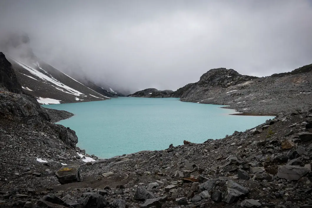
Wedgemount Lake is an unbelievable turquoise colour and is surrounded by snow-capped, granite peaks. Just beyond the lake, and just as impressive, sits the Wedgemount Glacier.
Backcountry camping is available at the lake (see here for camping details), and opens up more hiking opportunities.
Warm layers for the top and hiking poles for the climb are both recommended for this one.
The stats listed below are for the hike to the glacier. If you stop at the lookout of the lake without continuing to the glacier, you can knock off a tiny bit of elevation and distance from these stats.
Warning
This hike is among the more difficult of all the day hikes around southwest British Columbia. This guide is not intended for beginner or new hikers. Please make sure you are in good fitness and take all regular safety precautions on this hike.
Wedgemount Lake Hike Stats
Rating: Difficult
Distance: 13 km
Net Elevation Change*: 1,207 m
Highest Point: 1,962 m
Time Needed: 7+ Hours
Type: Out-and-back
Season: July – September
Dogs Allowed: No
Est. Driving Time from Vancouver: 2.5 hours
Trailhead Coordinates: 50.173708, -122.862778
*For a better understanding of the stats and difficulty rating, check out the Hiking Guides page for details. Always carry The Essentials and fill out a trip plan.
Wedgemount Lake Video
Here is a 3-minute video of our experience on this hike!
Wedgemount Lake Hike Map and Elevation
Wedgemount Lake
Profile
Wedgemount Lake Hiking Route
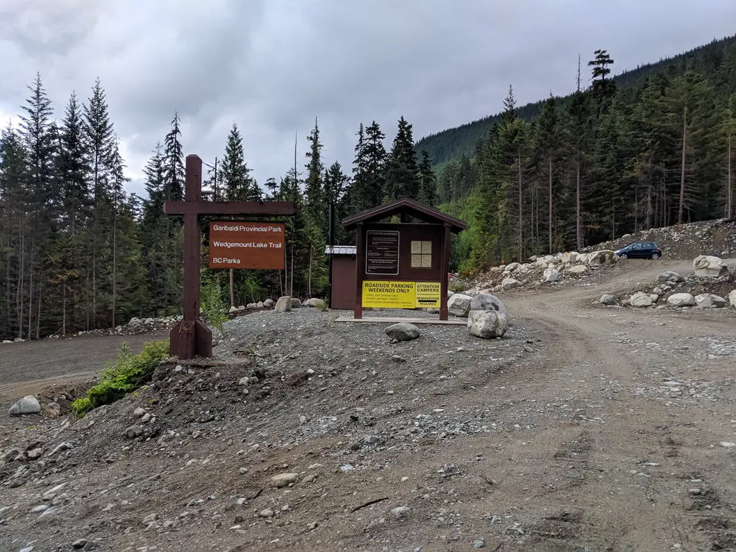
As of 2019, the trailhead has changed slightly as a result of construction in the area. There are two large parking lots (directions) near the trailhead. There is an outhouse and a park map by the parking lots.
From the parking lot, walk past the Wedgemount Lake Trail sign, and over a bridge crossing Wedge Creek. You’ll be on a gravel road. After 100 yards, you’ll see the trailhead, marked by some flagging, on your right. Duck into the trees and onto the singletrack trail.
This makeshift initial stretch of the trail might be overgrown, but there are markers in the trees and it is easy to follow. The trail climbs uphill, at a steady and gradual grade. After about half a kilometer you’ll be beside Wedgemount Creek again.
The trail then cuts back and you will continue to hear Wedge Creek off to the right.
Around the 1 km mark, the trail starts to get a bit more gnarly, and there’s a switchback to your left just before a large clearing overlooking Wedgemount Creek.
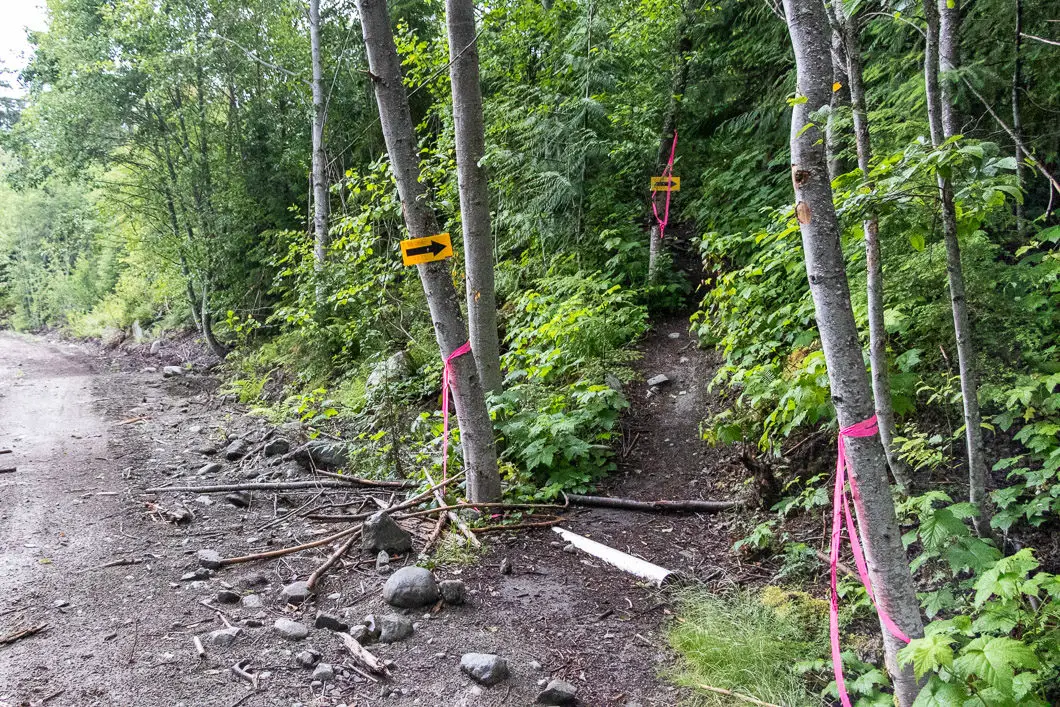
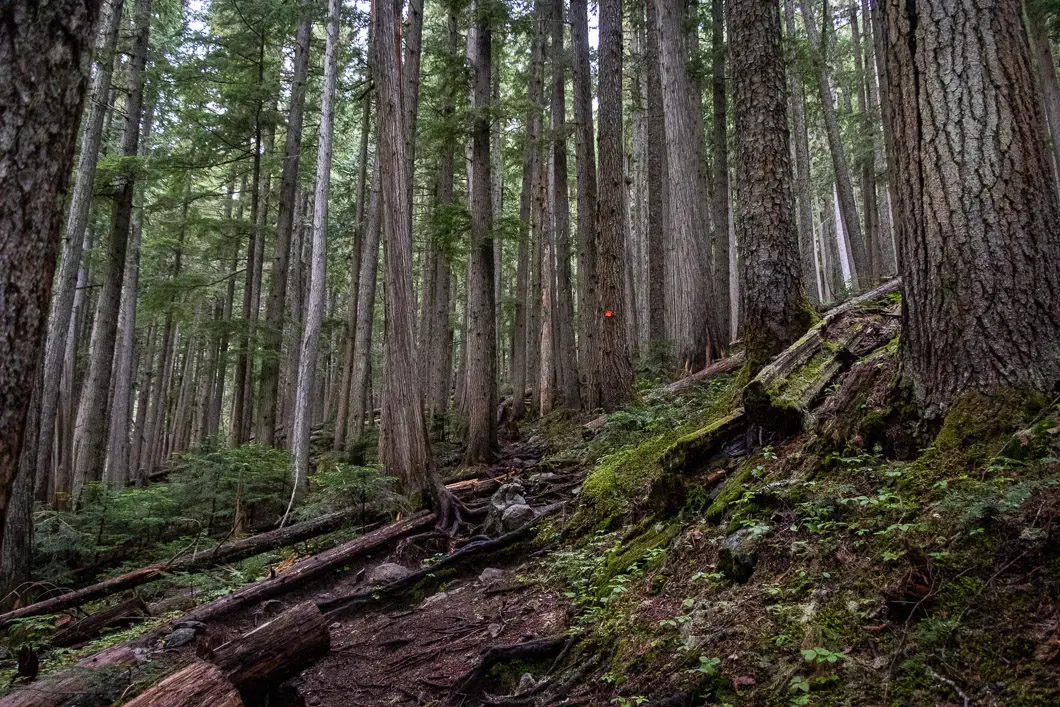
At roughly 1.15 km or about 25 minutes, you’ll come to a junction where you will connect with the older beginning part of the Wedgemount Trail. There’s a sign here that says the old section of the Wedgemount Trail is now permanently closed due to construction.
As this junction, keep going straight uphill into the forest. There are orange markers in the trees. The trail is still easy to follow and still pretty gnarly.
Soon the trail will begin getting steeper. You will still be able to hear Wedge Creek off to the right.
You will come out to an open area at the bottom of a boulder field. There’s some pink flagging along the bottom of the loose rock. Scramble your way over the rocks at the bottom of the scree and come out on the other side. You will pass over a small stream and then head back into the trees.
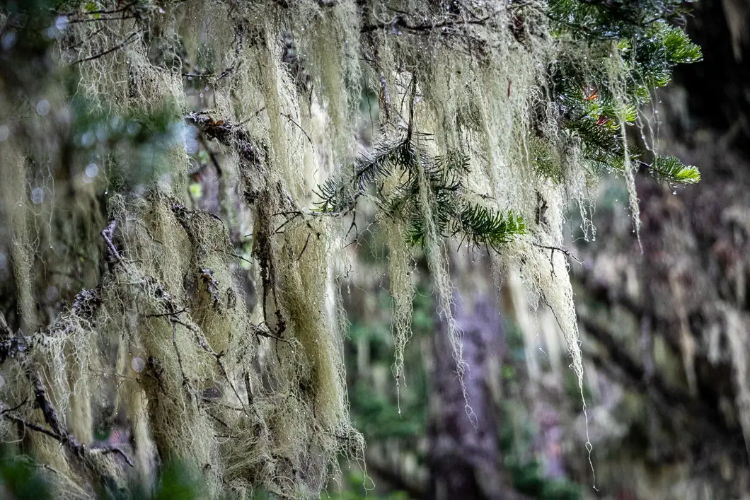
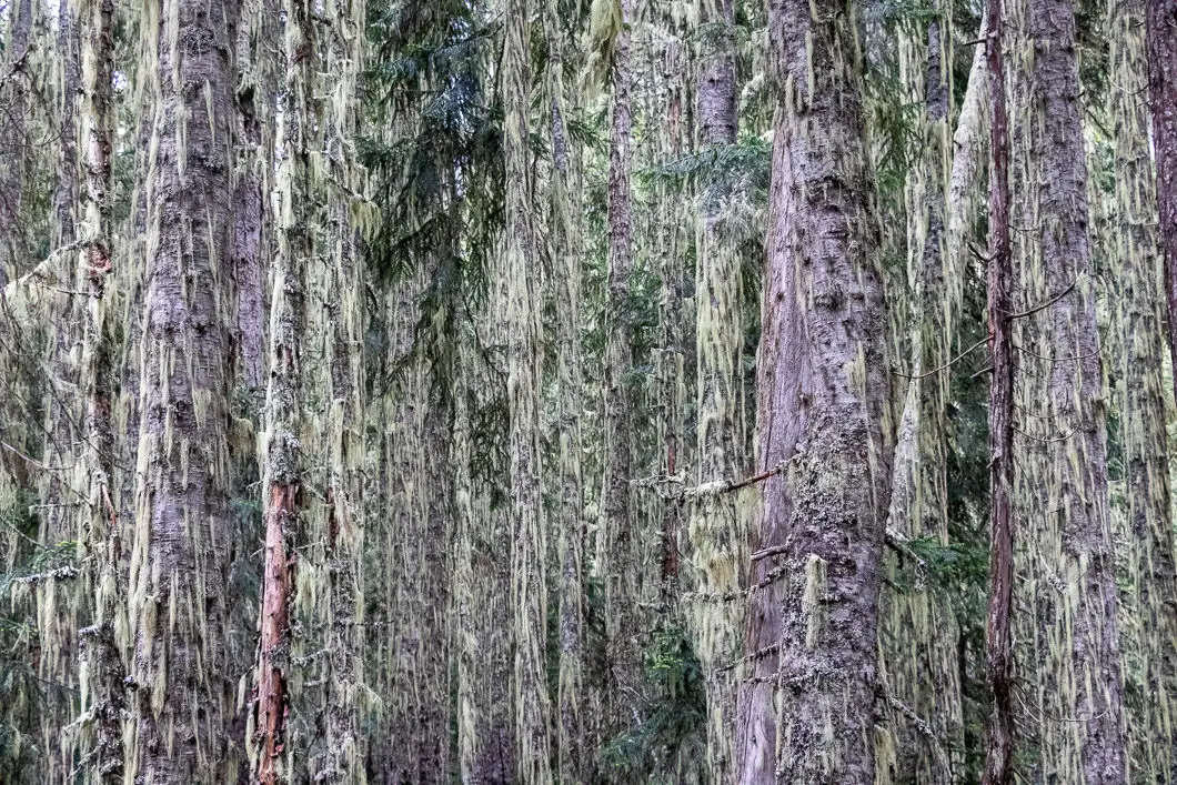
The trail keeps climbing into the dense forest with lots of moss-covered trees. The trail is laden with rocks and tree roots but there are many trail markers, so staying on track should not be an issue.
After about 2.7 kilometers, you will come to a clearing where you can see Rethel Mountain off to your right.
The forest here is thick with birch trees covered in old man’s beard.
Eventually, you’ll start to come out into the subalpine and get a view of Rethel Mountain to your right again. You can also see the Wedgemount Waterfall. This waterfall, streaming from Wedgemount Lake, plummets an impressive 300 meters.
You will come out of the trees and the path becomes rocky.
Orange markers guide you along the path and you will come to one final steep push up a scree gully. A stream of snowmelt runs down this slope. This final climb is the most difficult part of the hike, but the reward of Wedgemount Lake lies just over the crest. At a solid pace, it should take about 25 minutes to reach the top.
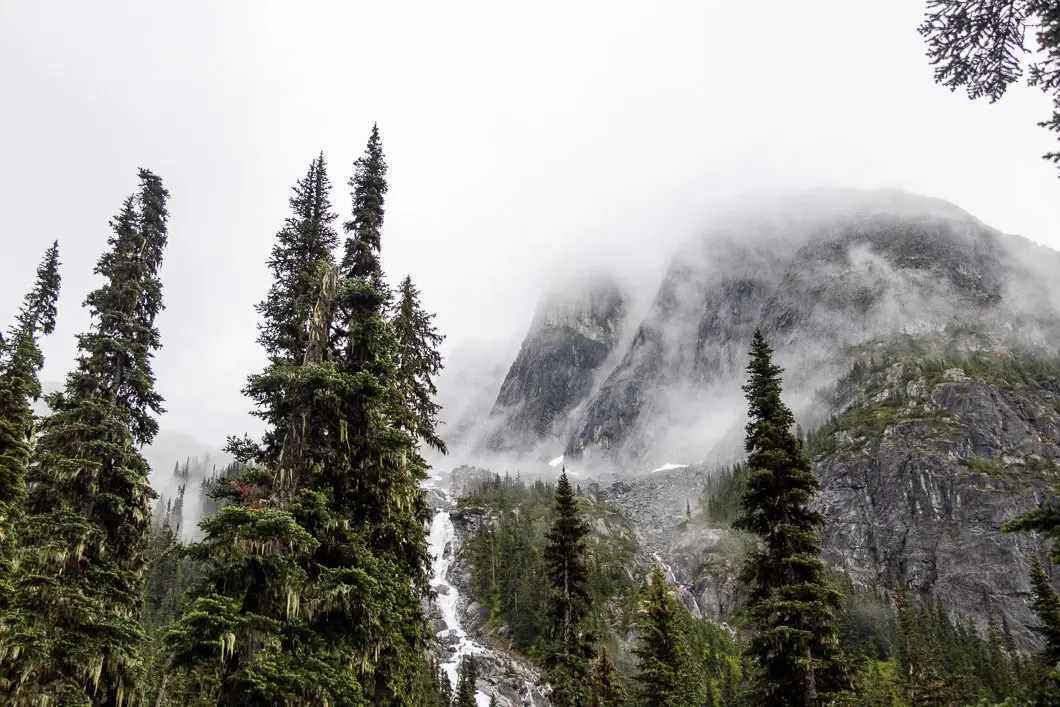
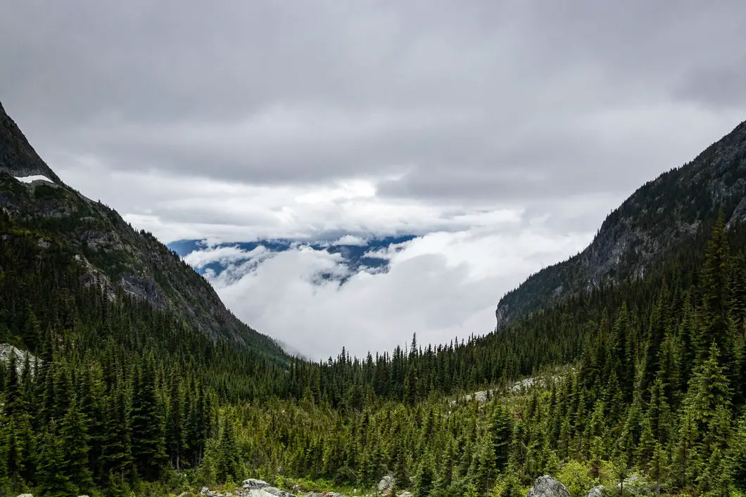
At one point, a rope appears to help you scramble up the rocks. Snow can persist here late into the season, making it even more challenging.
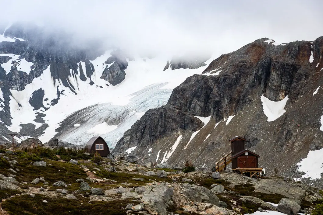
Once you reach the top, signs reminding you to stay off sensitive vegetation and to stay on the path. Follow the trail, and you will reach the Wedgemount Lake Hut with the incredible Wedgemout Lake lying below it – and with Rethel Mountain on the other side of the lake. In the distance, you can see Wedgemount Glacier.
There’s a composting outhouse, a food cache, and a tent pad here also.
This is a great spot to rest and enjoy lunch while soaking up the incredible views.
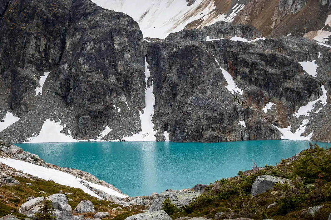
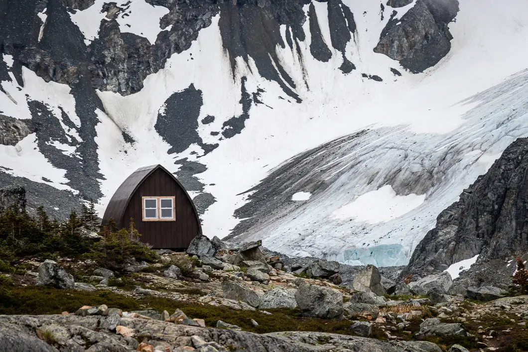
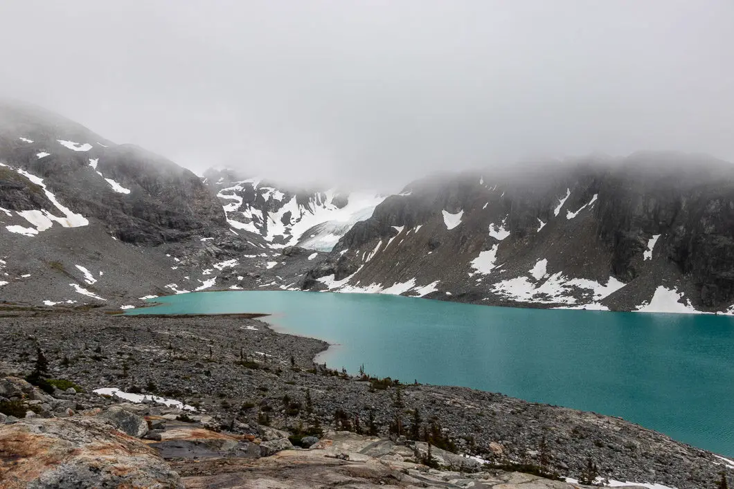
Just past one of the tent pads near the hut, you can take a rocky trail down to the edge of Wedgemount Lake. Once you reach the lake, there are more tent pads and another food cache.
There are several streams running off the mountain and into the lake, which are great for refilling your water supply.
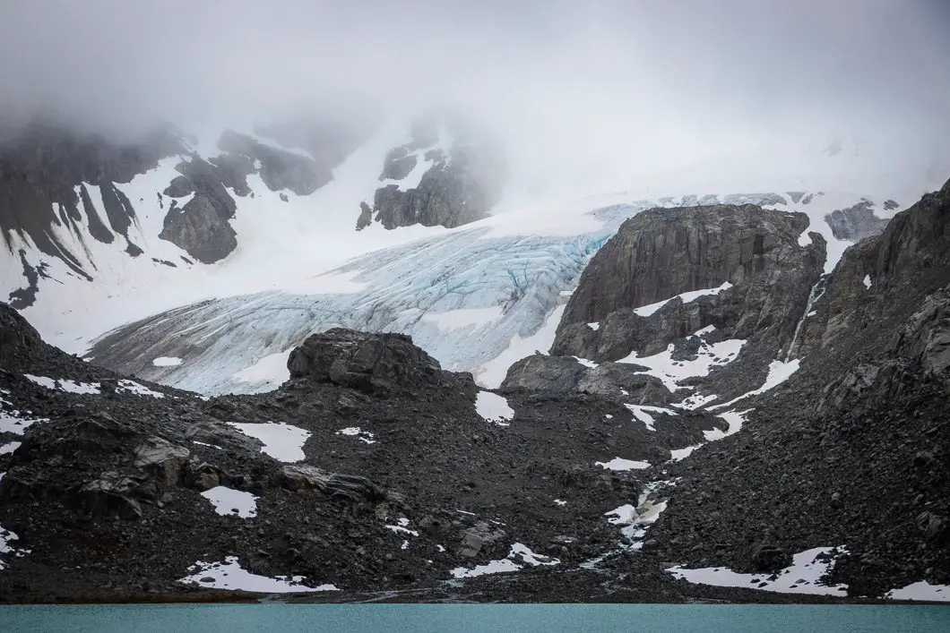
Walking a further 10 to 15 minutes from Wedgemount Lake, you can continue to follow the path to the edge of Wedgemount Glacier. It is well worth the additional effort to see the glacier up-close and personal.
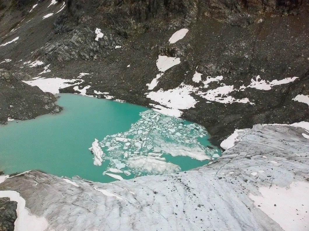
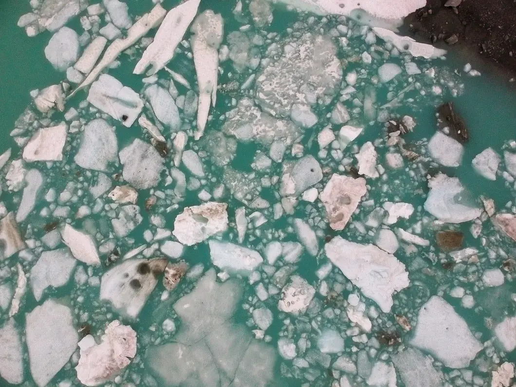
A small pond of floating ice sits at the base of the glacier and is a remarkable sight. Unfortunately, this glacier is receding at a rapid rate.
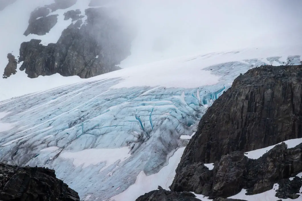
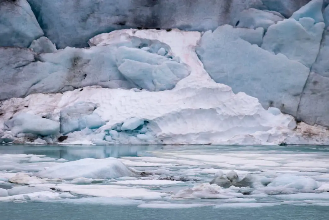
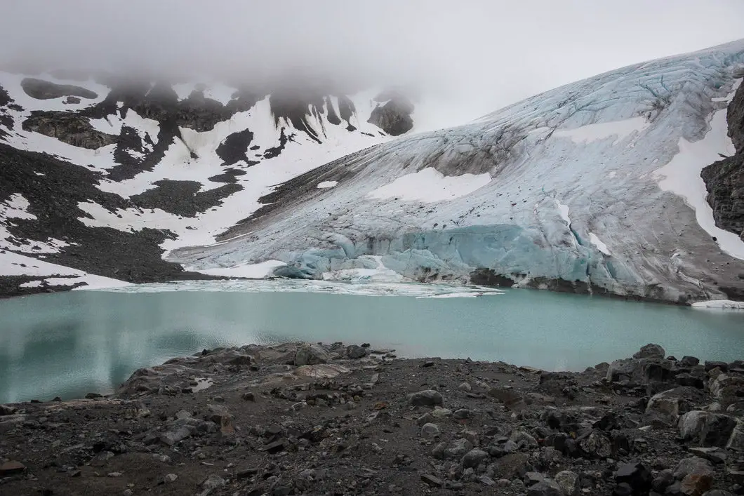
“In 1973, the glacier was floating on the lake; by 1991 the glacier terminus was back to the lakeshore. Then it began receding upslope, fast, and a minor bedrock ridge (called a riegel) was exposed. A second, bigger riegel was exposed soon after, and in the last few years an ice cave with a small pond developed at the terminus behind the bigger riegel, the terminus now being almost 300 metres from the lakeshore.” [Source]
Above Wedgemount Glacier lies Wedge Mountain – the highest of all the peaks in Garibaldi Provincial Park. Wedge Mountain towers at 2,895 m and is the objective of experienced mountaineers.
Take your time, enjoying the surreal beauty of the area, before heading back down the same way you came up.
Download the PDF version of this guide for offline use
Camping at Wedgemount Lake
Camping at Wedgemount Lake opens the opportunity to explore the peaks surrounding the lake itself. Mount Cook, Mount Weart, and Wedge Mountain are common objectives.
There are about 20 wooden tent pads scattered around the hut and the northern edge of the lake.
The Wedgemount Lake Hut, originally built by the BC Mountaineering Club in 1970, can sleep about 8.
Backcountry camping reservations are required. With a reservation, you can secure a space but not a specific tent pad, or the hut. All spaces operate on a first-come, first-served basis.
Camping is only allowed in designated areas – no campfires are permitted.
Directions and Parking
Take BC-99 N past Whistler. Shortly after Green Lake, you’ll see BC Parks signs for Wedgemount Lake. Watch for the signs and exit onto Gravel Pit Road.
Go over the bridge, and go left at the fork, onto Riverside Dr. At the next fork, go right onto the Wedge Creek Forest Service Road.
Follow the road until you reach the parking lot.
Google Map directions are here.
Other great hikes in this area
- Joffre Lakes (moderate)
- Brandywine Meadows (difficult)
- Panorama Ridge (difficult)
- View all hiking guides here


