Twin Falls – Table of Contents
- Hike Introduction
- Hike Statistics
- Twin Falls Video
- Map and Elevation
- Hiking Route Description
- Directions and Parking
- Free PDF Download
Twin Falls Hike Intro
Beautiful scenery, easy hiking, and swimming make Lynn Canyon Park, in North Vancouver, a popular destination. The Twin Falls Loop takes you over the Lynn Canyon Suspension Bridge, through the forest, and over-top Twin Falls itself.
While the Lynn Canyon Suspension Bridge is not as long as the Capilano Suspension Bridge, it is awe-inspiring nonetheless. And unlike the Capilano Suspension Bridge, there is no charge for admittance or parking in Lynn Canyon Park.
It is easy to see why the Lynn Canyon area is popular with tourists and locals alike.
A note on safety: Every year it seems, unfortunately, that at least one person dies in the canyon while cliff jumping. The water looks clear, beautiful and inviting. But the steep cliffs and strong currents of the canyon can easily spell disaster. Cataracts, undertows and hydraulic suction – even in calm-looking water – can hold a person under. There were 24 recorded deaths in the waters of Lynn Canyon Park between 1985 and 2016, and countless more injuries.
And while this is a short hike, more akin to a ‘walk’, proper hiking footwear is still recommended. Too many people can be seen walking these trails in flip-flops, which can easily lead to a sprained ankle on rooty sections of trail.
Twin Falls Hike Stats
Rating: Easy
Distance: 1.3 km
Net Elevation Change*: 60 m
Highest Point: 170 m
Time Needed: 1 Hour
Type: Loop
Season: Year-round
Dogs Allowed: Yes, on leash
Est. Driving Time from Vancouver: 30 Minutes
Trailhead Coordinates: 49.343390, -123.018509
*For a better understanding of the stats and difficulty rating, check out the Hiking Guides page for details. Always carry The Essentials and fill out a trip plan.
Twin Falls Video
Here is a short video of our experience on this hike!
Twin Falls Hike Map and Elevation
Twin Falls
Profile
Twin Falls Hiking Route
From the parking lot, find the day-use area at the Lynn Canyon Ecology Centre. There are information boards here with details about the park, and signs warning you about the dangers of Lynn Creek.
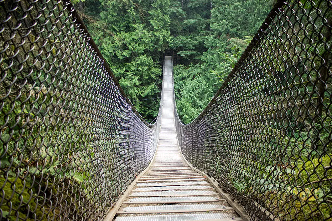
The hike starts by taking you over the Lynn Canyon Suspension Bridge. Take your time enjoying the incredible views on both sides, and directly underneath, the bridge. The stunning green water of Lynn Creek will be flowing mightily below.
The Lynn Canyon Suspension Bridge was originally built in 1912 as a private venture, and patrons were charged a nickel to cross. It stands 50 meters above the canyon floor below. At the time it served to connect the areas we now know as Lynn Headwaters Regional Park and the Lower Seymour Conservation Reserve.
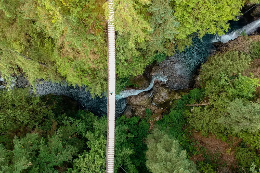
The bridge will shake and those with a healthy fear of heights may not entirely enjoy the experience of crossing.
Thousands of years ago, when glaciers gradually moved off the North Shore mountains, a crack in the ground likely led to the formation of Lynn Canyon. Over the last ten thousand years, Lynn Creek has eroded the rock at a rate of less than a centimetre a year, creating the canyon that we see today.[source]
After the bridge, there is a junction. Take a right. After a few more meters you’ll come to another junction/ sign. Go right again.
The route now follows the Baden-Powell Trail through the forest of Western Red Cedars and Douglas Firs. Some of these second-growth trees are over 100 years old.
Follow the wide path. The trail will curve to your right and begin to drop down towards Lynn Creek. It is a wide, gravel path that is easy to navigate. You’ll come to a fence along the cliff above the creek. Follow the trail as it gradually drops downhill.
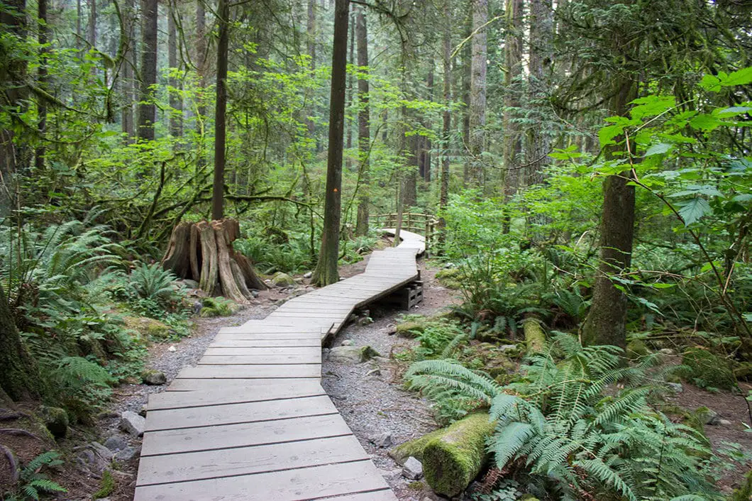
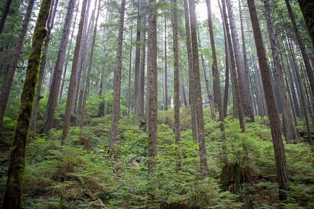
Much of the trail here will be along boardwalks. The trail keeps dropping down, and there are sections with stairs.
In the trees you will find the signature orange, triangular markers of the Baden-Powell Trail bearing the fleur-de-lis.
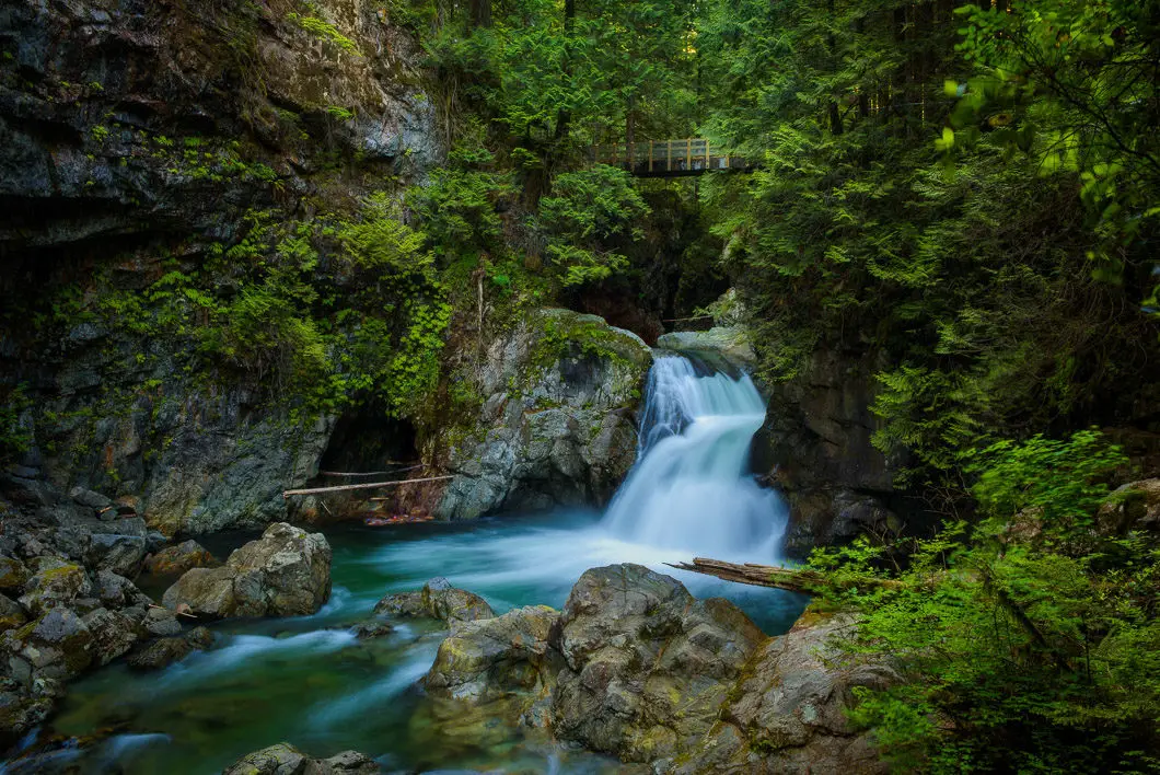
Before too long, you’ll come to a trail marker and junction at Twin Bridges. Before going over the bridge, follow the trail beside the fence going down the hill. You can get a view of Twin Falls by scrambling down the trail along the inside of the fence. You can take a dip in a calm area of the creek if you scramble all the way down the trail to the water. But do not jump the fence – it is there for a reason.
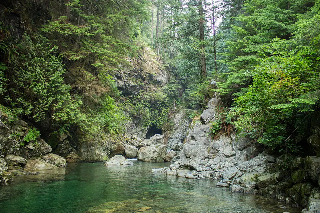
After viewing Twin Falls, climb back up the trail and walk onto the wooden bridge.
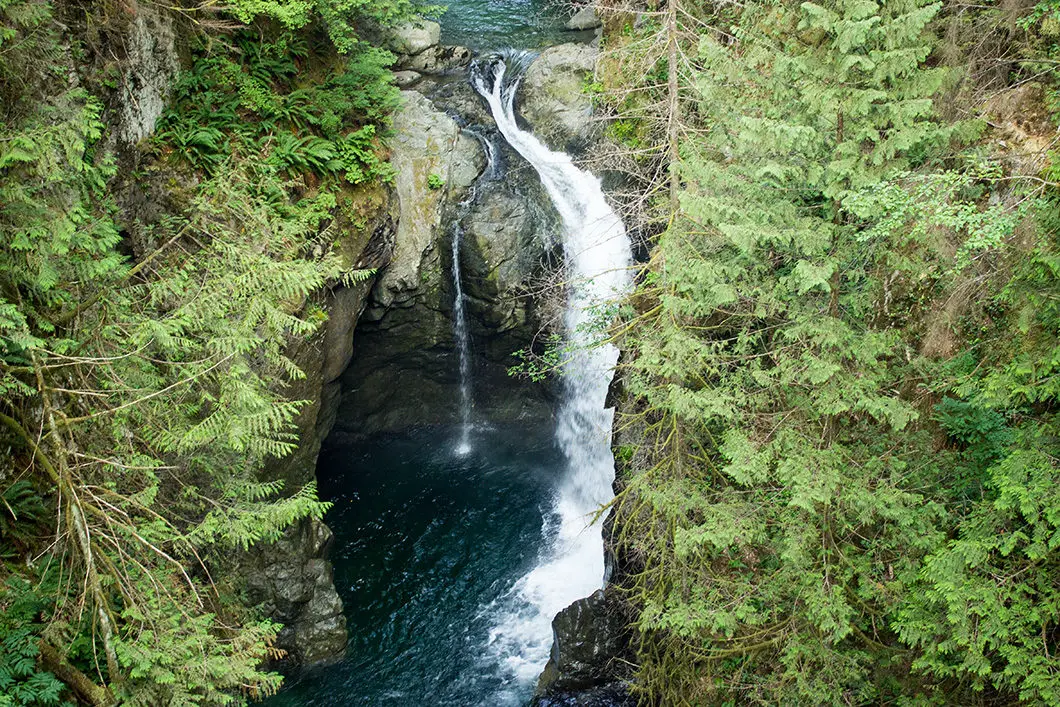
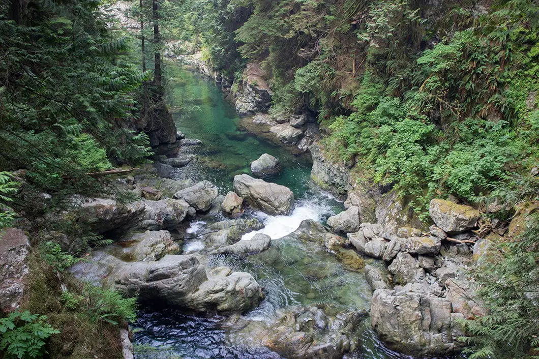
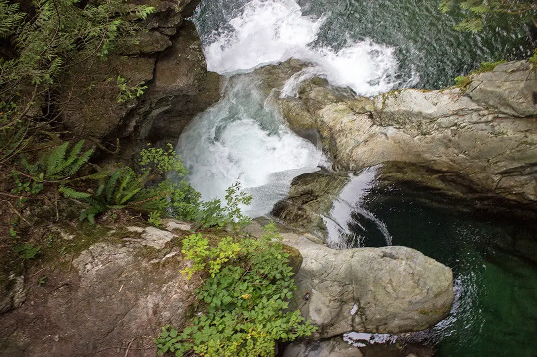
From the bridge, you can peer over the edge and see the falls, and the pools of water that have formed in the canyon here. Both sides of the bridge provide an up-close view of the small, but beautiful waterfall, which is broken into sections. You are much closer to the water here than at the suspension bridge, and can marvel at the water plunging into the canyon below.
Look into the pool below: it is the farthest that salmon can swim up Lynn Creek, since the falls prevent them from going any further. [source]
Walk across the bridge, and climb up the big set of stairs. At the top of the stairs, you’ll come to the Centennial Trail with an overflow parking lot just above it. Take a right and make your way back to the Lynn Canyon Ecology Centre. You can learn more about the biodiversity of Lynn Canyon if the centre is open, and grab a snack from the café.
The centre is open 10 am to 5 pm every day from June to September. From October to May the centre is open 10 am to 5 pm on weekdays and noon to 4 pm on weekends.
If you want to explore more of the area, the 30 Foot Pool is another popular spot nearby. You can find the 30 Foot Pool by going over the suspension bridge and turning left.
Download the PDF version of this guide for offline use
Directions and Parking
From the Upper Levels Highway take the Lynn Valley Road exit, heading north.
Follow Lynn Valley Road for 2.3 km, then take a right onto Peters Road. You will see park signs before Peters Road.
Once you’re on Peters Road, the road will curve to the left and become Park Road. You will see signs for parking and the Lynn Canyon Ecology Centre.
Google Map directions are here.
Other great hikes in this area
- Norvan Falls (moderate)
- Rice Lake (easy)
- Lynn Peak (moderate)
- View all hiking guides here


Leave a Reply