Steelhead Falls – Table of Contents
- Hike Introduction
- Hike Statistics
- Steelhead Falls Video
- Map and Elevation
- Hiking Route Description
- Directions and Parking
- Free PDF Download
- 360° Photosphere
Steelhead Falls Hike Intro
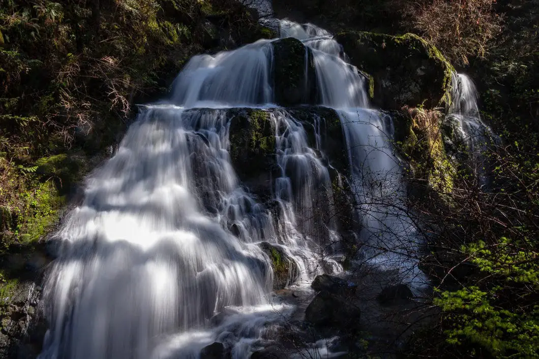
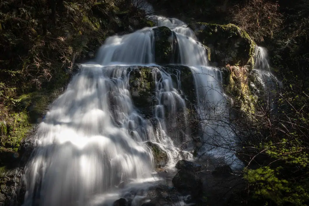
Steelhead Falls is a stunning waterfall near Hayward Lake in Mission, B.C.
The hike is short and easy, and as it sits at a low elevation, is usually snow-free year-round. The hike to the falls and back is about 2 km. The hike can be done as a detour along the 8 km Reservoir Trail which carries the length of the west side of the lake.
The waterfall is spectacular and has upper and lower viewing platforms. Steelhead Falls is kid-friendly and is a great option for families.
Steelhead Falls Hike Stats
Rating: Easy
Distance: 2 km
Net Elevation Change*: 0 m
Highest Point: 135 m
Time Needed: 1 Hour
Type: Out-and-back
Season: Year-round
Dogs Allowed: Yes, on-leash
Est. Driving Time from Vancouver: 1 Hour 20 Minutes
Trailhead Coordinates: 49.229299, -122.346458
*For a better understanding of the stats and difficulty rating, check out the Hiking Guides page for details. Always carry The Essentials and fill out a trip plan.
Steelhead Falls Video
Here is a quick video of our experience on this hike!
Steelhead Falls Hike Map and Elevation
Steelhead Falls
Profile
Steelhead Falls Hiking Route
From the parking lot, you will see where the trail begins. There is a large map and an outhouse near the trailhead. To begin the hike, walk past the wooden gate and down the gravel trail.
Almost immediately there’s a junction. The Reservoir Trail is marked to the right. Go Right. After about 40 yards, you’ll come to another junction. This time go left, in the direction marked for Steelhead Falls. The trail is flat, gravel, and groomed.
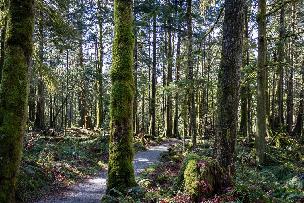
You will pass under a power line before coming to a wooden bridge. Take the bridge over Brown Creek and keep following the trail.
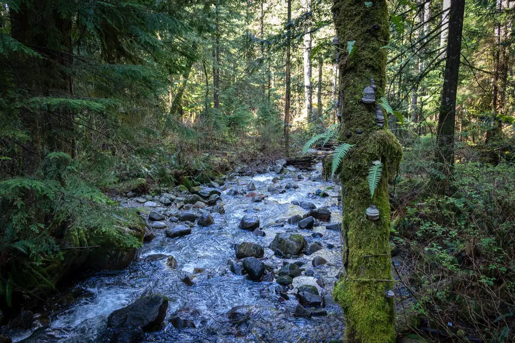
The trail goes uphill slightly, into the thick forest. You will be able to hear the creek running off to your right. Keep following the path, and within a few minutes, you will come to another, larger creek.
This is Steelhead Creek and the waterfall is just below this flowing water, but there is a bit more hiking to do to reach it.
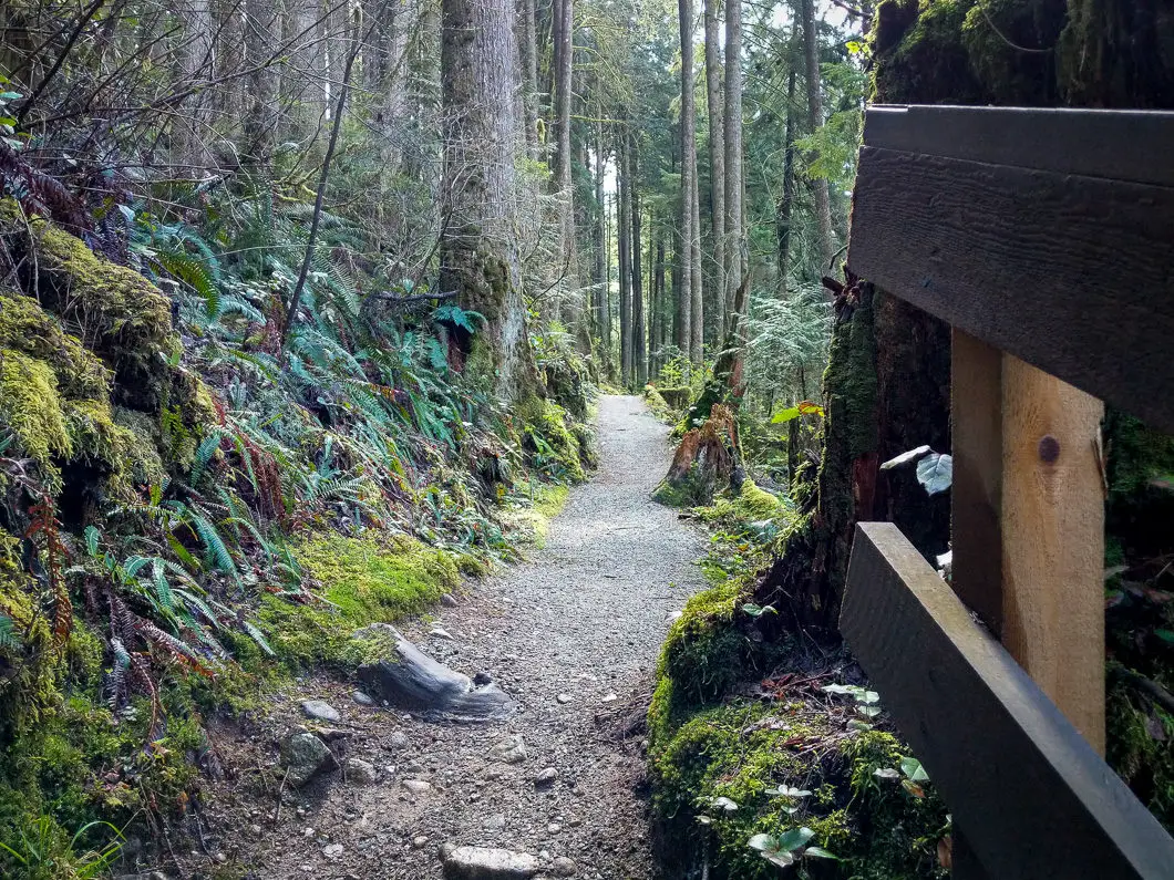
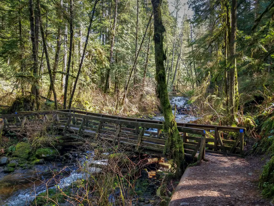
You will come to another bridge that crosses over Steelhead Creek, and then you’ll double back on the other side.
After you wrap around the other side of Steelhead Creek, keep following the Hayward Reservoir Trail. Follow the path for another few minutes and you’ll come to a junction.
The junction is marked for Steelhead Falls, down to the right. Go right at this junction off the Reservoir Trail and follow the smaller path back towards the creek.
The trail drops down quickly and you will come to a flight of stairs. At the bottom of the stairs, there is a viewing platform of the upper falls.
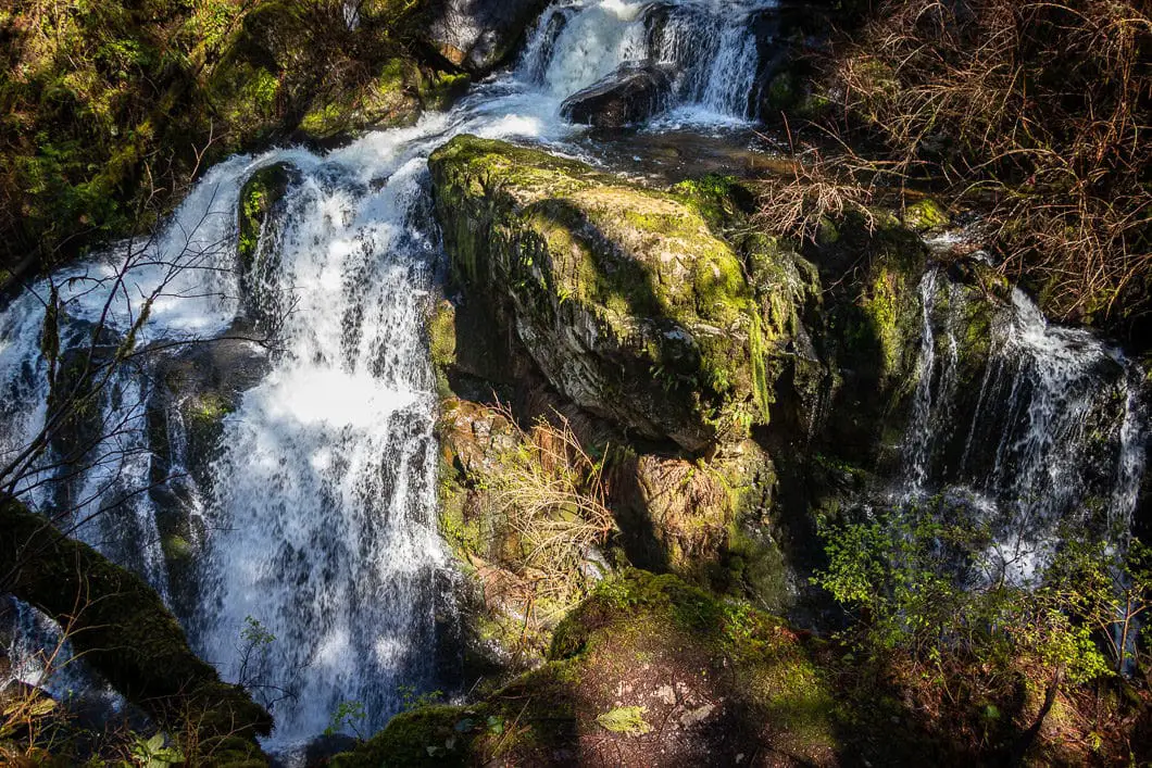
Enjoy the view from the platform, and continue down the trail when ready, down the second flight of wooden stairs.
At the bottom, there’s another viewing platform where you can view the falls straight-on.
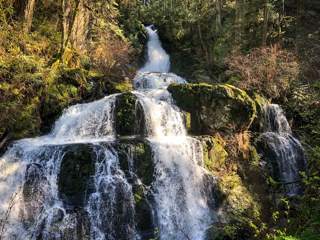
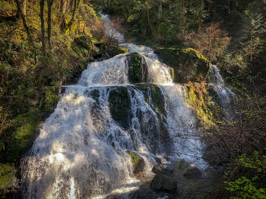
Enjoy the view of Steelhead Falls and retrace your steps back to the parking lot when ready.
If you want to hike further, you can continue to walk the length of the Reservoir Trail (out-and-back: 8 km) or loop all the way around Hayward Lake by connecting to the Railway Trail on the west side of the lake (18 km).
Download the PDF version of this guide for offline use
Directions and Parking
From Vancouver, take the Trans Canada Highway east. Before the Port Mann Bridge, take the 7 East ramp to Pitt Meadows/Maple Ridge/Mission (Mary Hilly Bypass). Turn right onto 222 St/BC-7 over the Pitt River Bridge.
At 222 street, turn left, and then turn right onto Dewdney Trunk Road. You will follow Dewdney Trunk Rd all the way to Hayward Lake. After you drive over the dam, you will go up a hairpin corner. The trailhead parking lot is on your right-hand side, shortly after the hairpin. There will be a sign where you pull down into the parking lot.
Google Map directions are here.
Other great hikes in this area
- Cascade Falls (easy)
- Kanaka Creek (easy)
- Gold Creek Falls (easy)
- View all hiking guides here


