Upper Myra Falls – Table of Contents
- Hike Introduction
- Hike Statistics
- Upper Myra Falls Video
- Map and Elevation
- Hiking Route Description
- Directions and Parking
- Free PDF Download
Upper Myra Falls Hike Intro
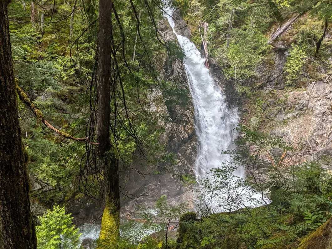
Upper Myra Falls is a scenic hike through an old-growth forest on the west side of Buttle Lake in Strathcona-Westmin Provincial Park. The trail leads to a lookout of a large horsetail waterfall.
Upper Myra Falls is a longer and separate hike from the nearby, and more popular Lower Myra Falls.
The trail is enjoyable and makes for a great hike for anyone visiting Strathcona Provincial Park. It’s a nice option if you’re looking for a longer outing than the nearby Lower Myra Falls offers.
At an average pace, it takes about 1 to 1.5 hours to reach the viewing area of the waterfall, and the trail is moderately challenging. Children should be able to handle the trail without too much difficulty if they are used to hikes of similar distance.
Upper Myra Falls Hike Stats
Rating: Moderate
Distance: 7.5 km
Net Elevation Change*: 120 m
Highest Point: 470 m
Time Needed: 3 Hours
Type: Out-and-back
Season: Year-round
Dogs Allowed: Yes, on leash
Est. Driving Time from Vancouver: 7 Hours
Trailhead Coordinates: 49.575074, -125.611160
*For a better understanding of the stats and difficulty rating, check out the Hiking Guides page for details. Always carry The Essentials and fill out a trip plan.
Upper Myra Falls Video
Here is a 2-minute video of our experience on this hike!
Hike Map and Elevation
Upper Myra Falls (one-way)
Profile
Hiking Route
At the parking area near the mine (directions), you’ll find an outhouse and map of the nearby hiking routes. Across the main road, you’ll see a large sign for Upper Myra Falls and a yellow gate on a gravel road. The trailhead is down the gravel road, so you will begin the hike by walking past the yellow gate.
About 50 meters along the gravel road, there’s a trailhead on your right for Phillips Ridge trail. Ignore that trail, and keep walking along the gravel road which you will follow for about 1 km.
After a few minutes along the gravel road, you will cross over a creek and can marvel at the impressive old-growth trees on both sides of the road.
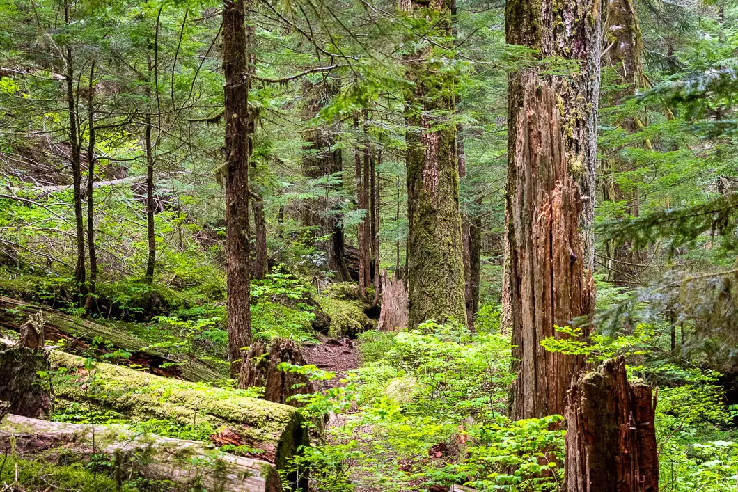
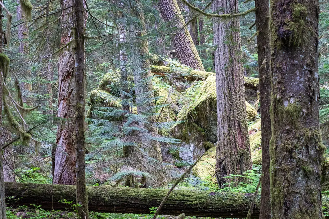
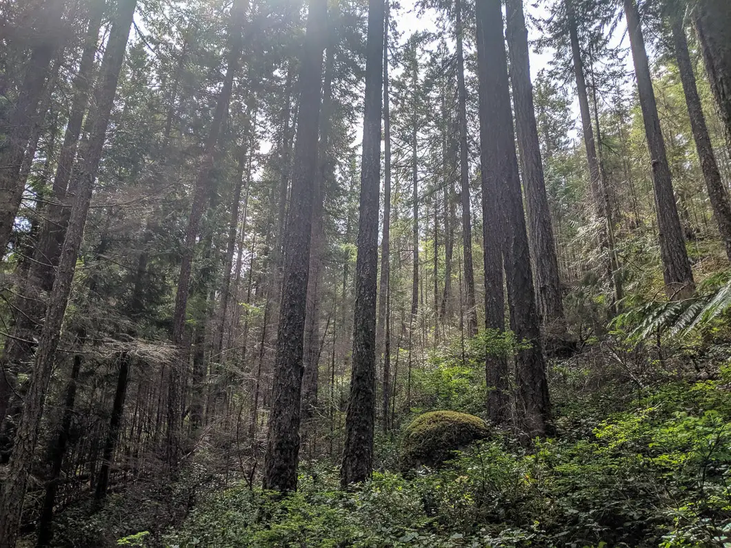
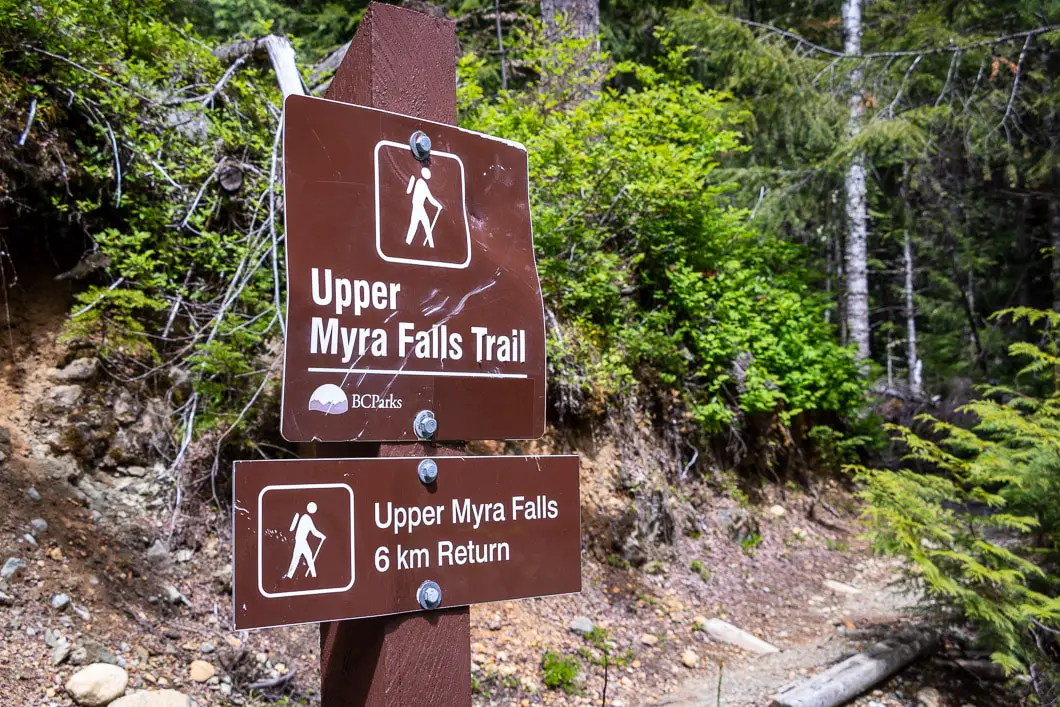
After about 15 minutes of walking, the road will start to go uphill slightly and curve. You’ll be able to hear Myra Creek off to your left. On the right-hand side of the road, there is a sign for the Upper Myra Falls Trail. Leave the road and follow the sign into the forest. The sign indicates the waterfall is 6 km, return, from this point.
The trail immediately becomes single-track and is rocky with a slight elevation gain.
Follow the trail along its gentle incline. After about five minutes, or 400 meters, the trail does a hairpin turn and continues to climb gently.
There’s another switchback, and the trail will begin to climb uphill a little more sharply.
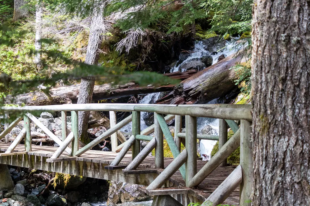
You will come to a wooden platform that takes you around the edge of the trail. Then there will be a creek crossing, followed by a bridge that takes you over another creek.
After about 3.2 kilometers into the hike, the trail starts to descend and you are nearing the falls.
As the trail continues to descend, you’ll begin to hear Myra Creek. As you round one final corner, you’ll suddenly hear the powerful waterfall nearby.
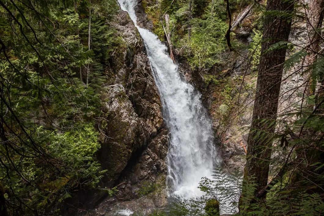
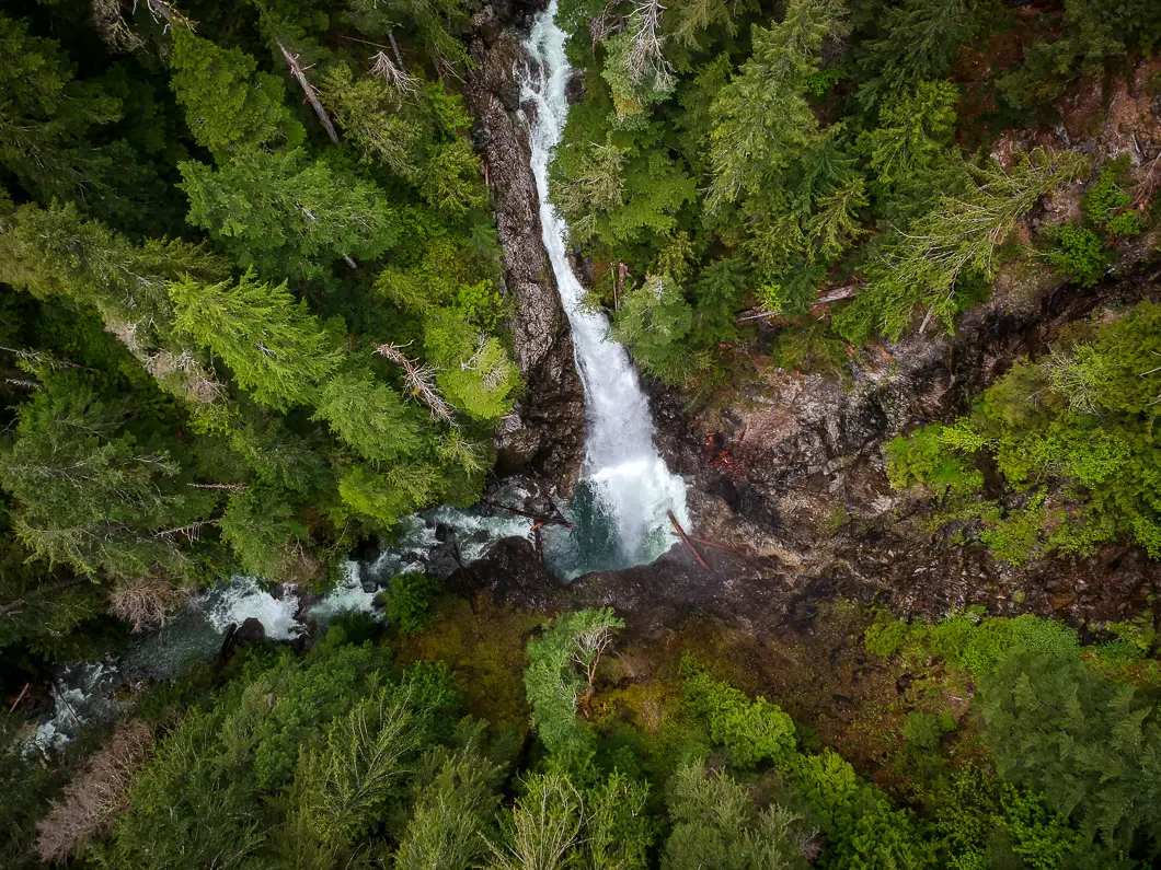
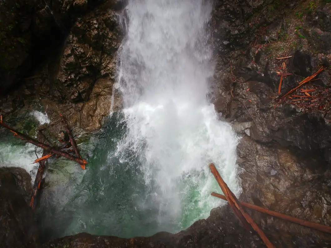
It’s a short walk further to a wooden platform and a viewing area of the waterfall, which plunges an impressive 60 meters to a pool below.
Enjoy the view of the falls, and retrace your steps back to the parking lot when ready.
Download the PDF version of this guide for offline use
Directions and Parking
From Campbell River, get onto Gold River Hwy/BC-28 W and follow it for about 50 km. As you approach the Buttle Lake campground, stay straight at the junction onto Westmin Rd. Follow Westmin Road for about 35 km until you reach the Westmin Mine.
To reach the falls, you must drive through the Westmin Mine site.
As you approach the mine site, there will be a security member who will ask for some details about your hike (number of people, where you are hiking and expected duration) so they can confirm you have safely left the area afterwards.
Drive through the mine site, and follow the signs for Upper Myra Falls. Find the parking lot on the right-hand side of the road.
Google Map directions are here.
Other great hikes in this area
- Lower Myra Falls (easy)
- Lupin Falls (easy)
- Lady Falls (easy)
- View all hiking guides here


Leave a Reply