The Stawamus Chief Trail – Table of Contents
- Hike Introduction
- Hike Statistics
- The Chief Hike Video
- Stawamus Chief Map and Elevation
- Hiking Route Description
- Directions and Parking
- Free PDF Download
Stawamus Chief Hike Intro
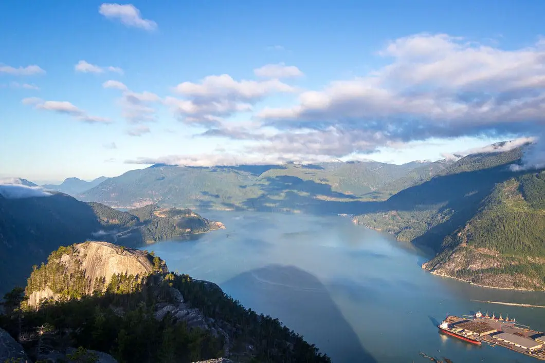
The Stawamus Chief is one of the most popular hiking trails around Vancouver and is also a popular rock climbing site. Often referred to as the ‘The Chief’ or ‘Squamish Chief’, this hike is located in Stawamus Chief Provincial Park in the District of Squamish. Easy access and rewarding views of Howe Sound make this a must-do hike.
On this hike there are three separate summits you can climb: the South (Peak 1), the Centre (Peak 2), and the North (Peak 3). You can do each summit individually, or, if you’re feeling ambitious you can tackle all three on the same trip. The main trail up the mountain, which diverts to all three peaks, is often referred to as the Chief Backside Trail.
The Stawamus Chief gets snow during the winter, but not as much as some of the other nearby mountains. For this reason, The Chief enjoys a fairly long hiking season. The summit is usually free of snow in the early spring, making this a great warm-up hike for the summer months ahead.
As The Chief is one of the most popular hikes around Vancouver, the trail gets exceptionally busy during the summer. If you want to avoid the long lines of people hiking up and down the trail, you’re best to go during a weekday, or during the spring and fall.
Cool fact: The Stawamus Chief is the second largest granite monolith in the world. In other words, it’s just one giant rock!
The Stawamus Chief Hike Stats
Rating: Moderate
Distance: Peak 1: 3 km, Peak 2: 4 km, Peak 3: 4 km
Net Elevation Change*: Peak 1: 535 m, Peak 2: 580 m, Peak 3: 627 m
Highest Point: Peak 1: 610 m, Peak 2: 655 m, Peak 3: 702 m
Time Needed: 3 – 5 hours
Type: Partial-loop
Season: March to November
Dogs Allowed: Yes
Est. Driving Time from Vancouver: 1 Hour
Trailhead Coordinates: 49.678642, -123.154516
*For a better understanding of the stats and difficulty rating, check out the Hiking Guides page for details. Always carry The Essentials and fill out a trip plan.
The Stawamus Chief Video
Here is a 2-minute video of our experience on this hike!
The Chief Hike Map and Elevation
The Chief
Profile
The Stawamus Chief Hiking Route
The Squamish Chief hike has a roughly 500 m elevation gain to peak 1, and 590 m and 630 m gains to Peaks 2 and 3. It is considered an intermediate hike, and takes about 90 minutes to reach Peak 1, and slightly longer if you choose to ascend one of the other two peaks. To challenge yourself a little more, you can hike up to Peak 2, and carry on to Peak 3 before heading back down. There is also a spectacular drop off between the Peaks 2 and 3, which provides a great view.
We describe the hike up the Chief Backside Trail, then splitting to complete both Peaks 2 and 3. We feel this route offers the best views, fewer people, and most bang for your buck. Doing this route adds some distance to the above total – the Peak 2 and 3 loop described here is closer to 6 km.
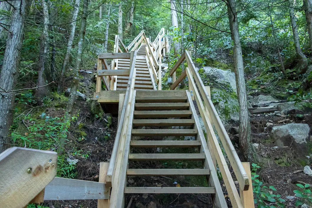
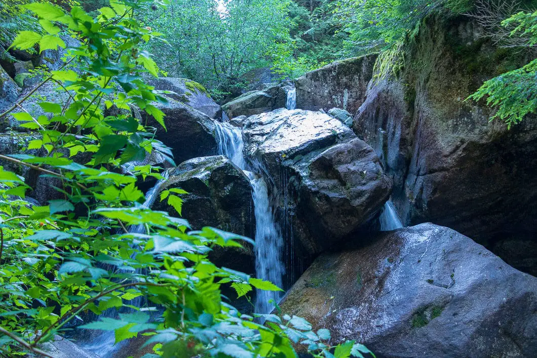
To start the hike, you will find the trailhead at the east end of the Stawamus Chief campground. There will be a sign warning you that the climb ahead is not for the ill-prepared. The initial climb will take you up a series of wooden stairs and immediately get the blood flowing. The main trail begins climbing alongside Oleson Creek and very soon there is a junction which connects to Shannon Falls. Stay left. (As an aside, you can also park at the Shannon Falls lot, and begin your hike from there. This junction is where you would join the Chief Trail from that direction).
Further up the trail, there is another split for the Upper Shannon Falls and the Sea to Summit Trail. You will also stay to the left here. Shortly after, there is a third minor junction and once again you will stay left. Then, you will come to a major split in the trails with signposts to direct you. Going left here will take you to the Peak 1 (South) and/or Peak 2 (Centre). Right will take you directly to the Peak 3 (North), which is the trail we will return on, completing a mini-loop. So head left towards Peak 1/2 and you’ll quickly come to yet another split in the trail. This time, head right on the trail marked for Peak 2.
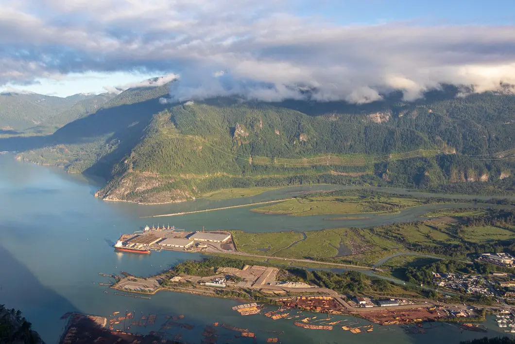
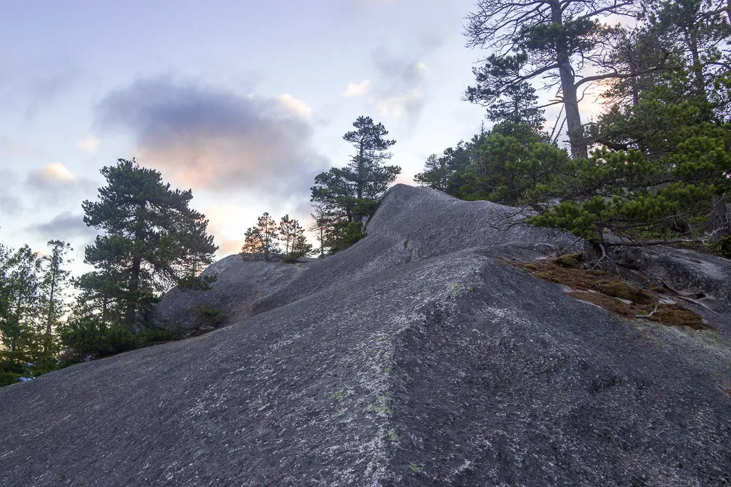
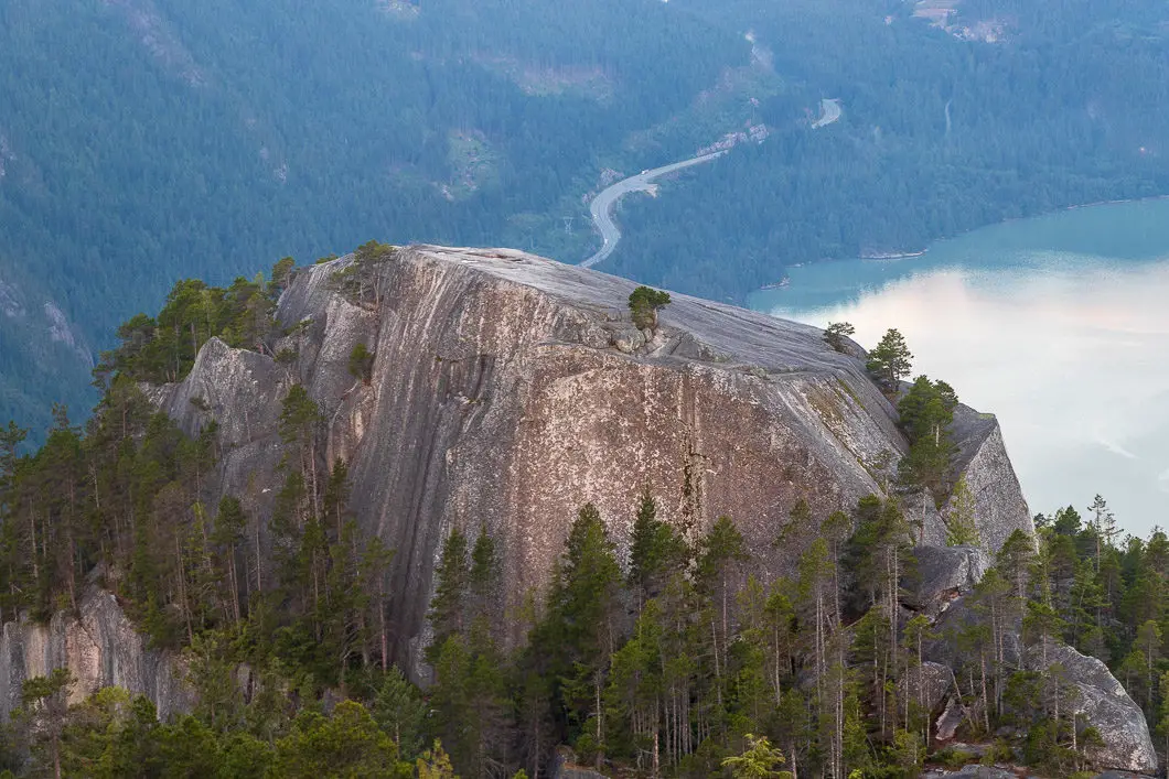
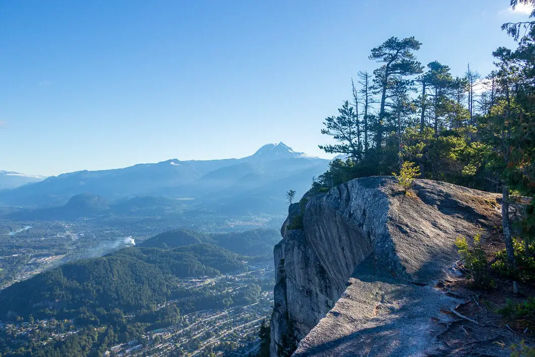
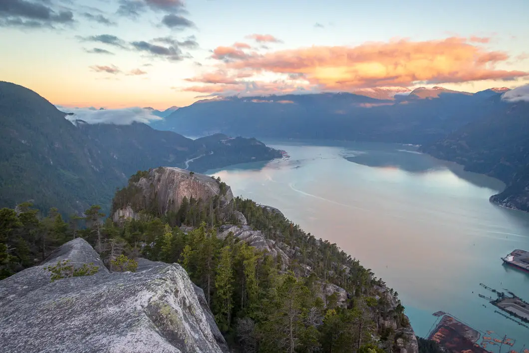
From here, climb on up following the trail markers until you finally reach the rocky, open surface of Peak 2. Scramble up the final few meters to find a view, taking extra caution if the rock surface is wet and slippery, as it often is. There is no shame in using you hands and going slowly here. Once you’ve scrambled up to the top, take a rest here, enjoying the views of the Peak 1, the town of Squamish, and Howe Sound. You should be able to clearly see a small crowd of people on top of Peak 1.
When you’re ready to carry on, keep pushing on over the Peak 2 summit and look for an orange markers in the trees. It may take a few minutes to locate the markers, but they are there. Follow the trail down through to the North Gully and an incredible view of Mount Garibaldi. Continue to follow the trail as it climbs back up.
You’ll come to a narrow ledge with a chain-rope to assist your climb. Simply follow the trail markers from here and you’ll quickly come to the open, smooth-rock surface of Peak 3. Scramble up, again taking caution on a few steep and narrow sections of rock, that may be extremely slippery.
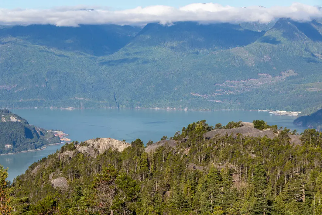
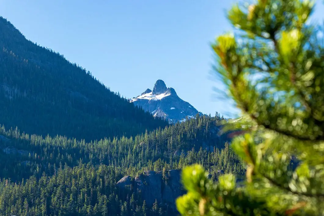
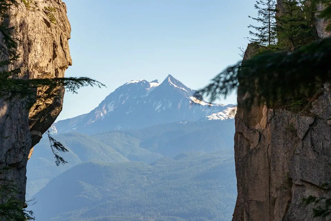
From the summit of The Squamish Chief, you can soak in the view of Mount Garibaldi and the Tantalus Range and rest your legs for the long descent ahead. To return back to the parking lot, reverse down Peak 3 back to the North Gully. However, instead of carrying all the way back to Peak 2 from which you came, you can shortcut down onto the trail that bisects Peaks 2 and 3, right down into the gully.
Descend down the steep, technical trail until you eventually cross Oleson Creek once more and come back onto the main trail. You’ll come out where the major junction for Peak 1/2 is. From here, simply follow the way back down to the parking lot.
Another option for this hike is to start from nearby Shannon Falls, and follow the signs for the trail that cuts over to the base of the Chief. If you haven’t seen the falls before, it is well worth the extra distance.
If you are interested in camping at Stawamus Chief Provincial Park, there are 47 campsites in the Stawamus Chief campground, which are a short walk-in from the parking lot. The sites are non-reservable and $10/person per night, for persons over the age of 6.
Download the PDF version of this guide for offline use on any device
Directions and Parking
Take Highway #99 heading north past Horseshoe Bay towards Squamish. Keep driving along the Sea to Sky highway all the way towards Squamish for about 35 minutes. Watch for the signs for Shannon Falls. You can park at the Shannon Falls lot but this is pay parking. If you keep driving north for a few seconds more, you can park in the Stawamus Chief Provincial Park parking lot for free.
A Google Map with directions can be seen here.
A trail map is available here.
Other Great Hikes in the Area
- Al’s Habrich Ridge (moderate)
- The Sea to Summit Trail (moderate)
- Upper Shannon Falls (moderate)
- Watersprite Lake (moderate)
- View all hiking guides here


neet and angel
Loved this post! I’ve been wanting to hike the Stawamus Chief for ages and this guide was incredibly helpful. Can’t wait to check it out! ❤️
David O Sullivan
My wife and I did Chief 2 today and feel great we are 62 years young so all you gramps get off the couch and go.
Karl
Thanks for the comment. You have a really nice site. I’m just getting this blog up and running but am hoping to compile a list of useful sites to post about. I’ll link to your site in the future.
vancouver hiking
The Chief is a nice hike. There’s a cool photo on one of the other posts taken between the 2nd and 3rd peaks of the Chief. A similar photo can also be seen at Vancouver Trails
Karl W
I haven’t hiked it this year yet but I *believe* it is mostly snow free based on the recent weather and images I’ve seen on social media. It should be fine to hike, but I would be prepared for snowy patches, and icy sections (especially in the early mornings). Might be best to leave it for a week or two yet, but should be fine if you went with caution.
Alex
Hey Gerard, did you end up going up in april? I am thinking of this weekend but unsure about snow as well….
Eagle Claw
Hi Alex,
I was there on the 28th of April. 16 degrees, but felt like 25. Partly sunny. Some parts were windy. No snow on the Chief, however the peaks of nearby mountains were a little bit snowy.