Slhanay Peak – Table of Contents
- Hike Introduction
- Hike Statistics
- Slhanay Peak Video
- Map and Elevation
- Hiking Route Description
- Directions and Parking
- Free PDF Download
- 360° Photosphere
Slhanay Peak Hike Intro
The Slhanay Peak Trail is a terrific hike in Squamish.
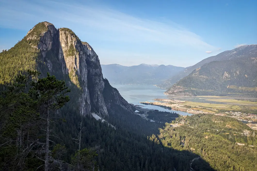
The main draw to the Slhanay Peak hike is the incredible and unique views it provides of The Stawamus Chief. Part of the trail sits within Stawamus Chief Provincial Park itself.
A nice thing about this hike is that it draws a much smaller crowd than other nearby trails. You’ll be able to enjoy the viewpoints with fewer fellow hikers, especially compared to the very popular Chief Trail.
There are several options for how you can complete the hike, as there are many different trails on the mountain. On the downside, the large network of trails is poorly marked, making navigation difficult. We recommend everyone be prepared for this hike with an offline map and a well-planned route.
The route described in the guide below is a loop around the mountain. The route takes us through several incredible viewpoints and both the southern and northern peaks of Slhanay. However, you can choose your own route based on your preferences.
We have this hike rated as ‘moderate’ because the total distance for completing a full loop is only 7 kilometers. However, we advise that this hike should be taken seriously, as the trail is very steep and rugged. It is on the more difficult end of moderate. The most difficult part of the trail is the final descent down the “Big Drop Valley” which has several technical sections requiring the help of some rope.
The descent down Big Drop Valley can be avoided by instead doing an out-and-back hike to any of the Slhanay Viewpoint, Tony’s Lookout, or the Slhanay Peak – all described below.
Slhanay Peak Trail Stats
Rating: Moderate
Distance: 7 km
Net Elevation Change*: 625 m
Highest Point: 665 m
Time Needed: 5 hours
Type: Loop
Season: February – November
Dogs Allowed: Yes, on leash
Est. Driving Time from Vancouver: 1 hour
Trailhead Coordinates: 49.69524, -123.13016
*For a better understanding of the stats and difficulty rating, check out the Hiking Guides page for details. Always carry The Essentials and fill out a trip plan.
Slhanay Peak Video
Here is a 6-minute video of our experience on this hike!
Slhanay Peak Hike Map and Elevation
Slhanay Peak Trail
Profile
Slhanay Peak Hiking Route
Park on the side of the Mamquam Forest Service Road where you find space near the trailhead (directions). Walking north along the road from the parking area, the trailhead is on the east side of the road and should be marked by some tape.
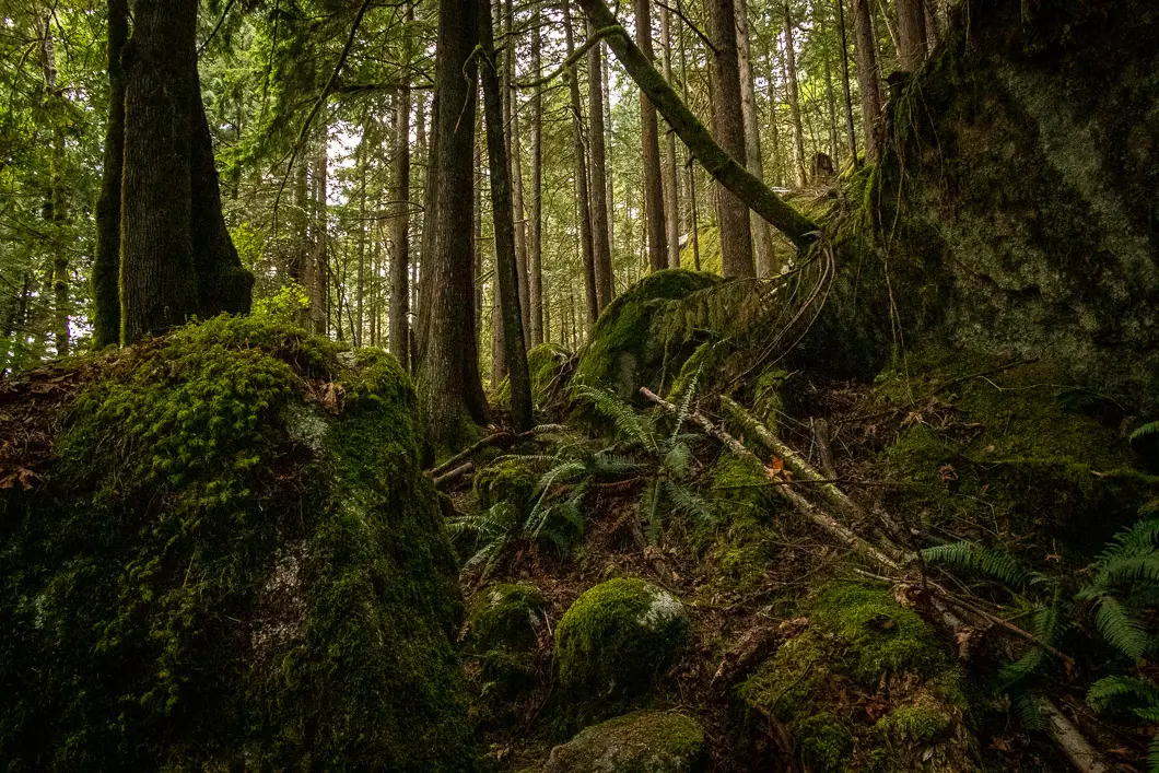
To begin, the path is a groomed single-track trail. You’ll pass by a huge boulder on your right. The trail will begin climbing uphill.
There are some side trails to bouldering sites on the lower section of the mountain. You want to ignore these side trails and make sure you stay on the main trail. There’s the occasional trail marker to help you. The footing is uneasy, with plenty of loose rocks as you climb up the trail.
After about 500 meters, you’ll pass by another large rock on your right. There is a trail marker here in the tree. Shortly after, you come up to a rock wall. You might be able to spot some rock climbers scaling the wall high above you.
Hike up to the rock face directly ahead of you, where there is a trail that splits left and right. Go to the right. Follow below the rock wall, and you’ll soon be back in the forest. The trail will cut to the left and start climbing uphill again.
As you continue climbing uphill, you will need to pay attention. The trail splits at a poorly marked junction that is easy to miss. Pay attention, and on the side of the trail, you’ll see an orange marker in a tree here. If you look up, in a large tree, there is a sign that says “Chief”.
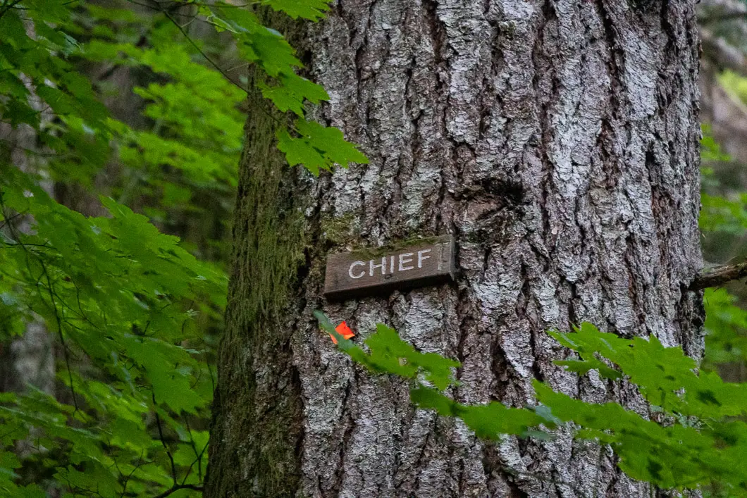
Once you find the junction, make sure you go left onto this trail. If you were to miss this junction, the trail does indeed traverse all the way to The Chief.
The trail will cut back to the left and keep climbing, though more gradually.
At around 1.2 kilometers, the trail will continue to the right. Shortly after, pay attention for a detour on your left. This detour takes you to a small section of outcrop. This is the lower Slhanay Viewpoint. It is also sometimes referred to as the Valley Viewpoint and sits at 398 meters elevation.
Here, you have an incredible view of the north face of The Chief. You might see some slacklines across the backside of the Chief. There is a beautiful view of Squamish and the head of Howe Sound. Take caution as the cliff has a dramatic drop off.
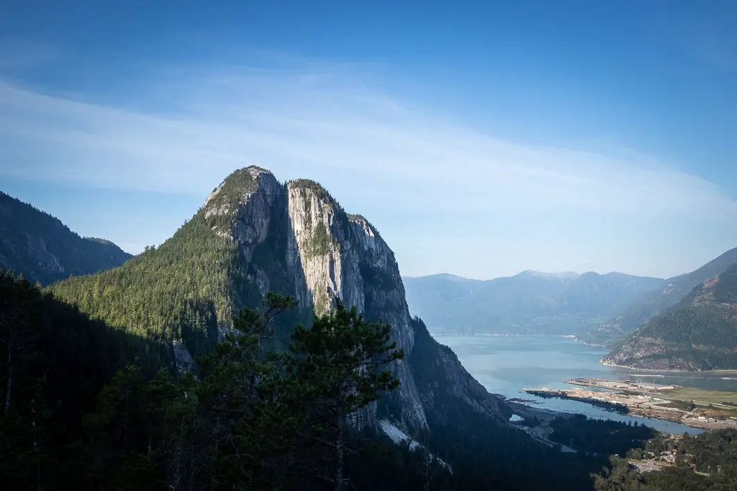
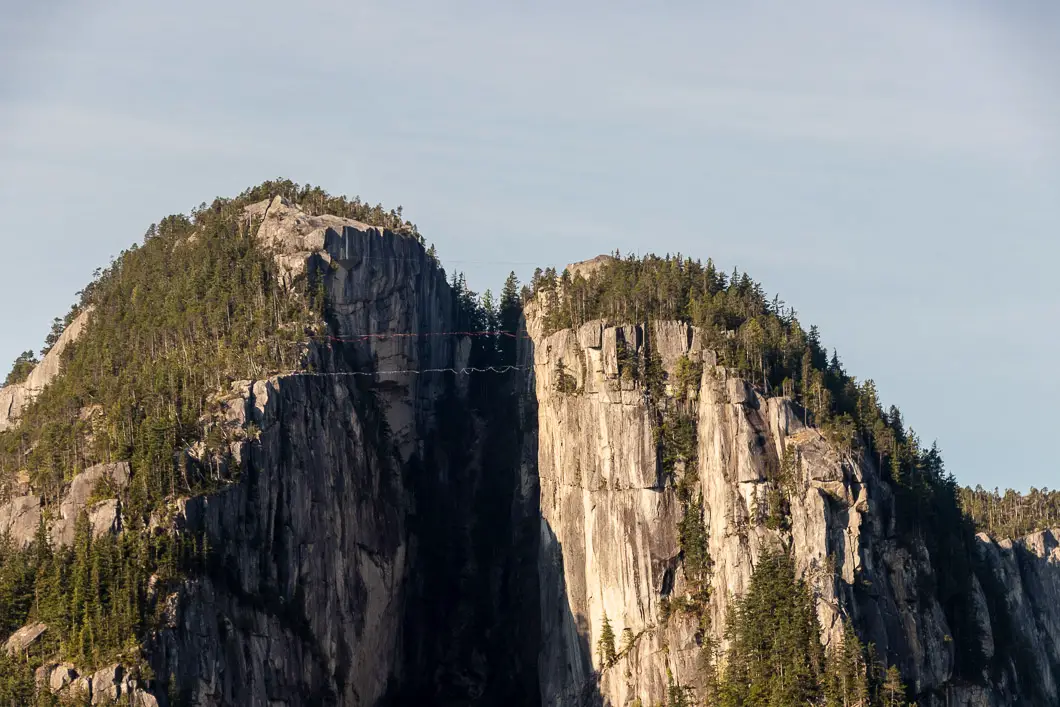
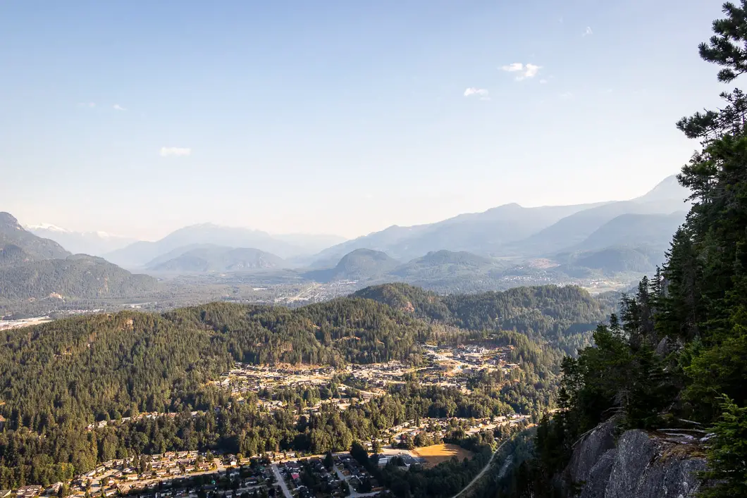
This is one of the best viewpoints of the hike, and many people choose to make this the objective of their hike. If you want to return from here and call it a day after soaking in the views, no one would blame you.
We’ll continue, however, towards Tony’s Lookout.
Leaving the viewpoint, continue on the trail. There’s a U-turn just beyond the lookout. The trail is faint, but you’ll find an orange tag in a tree. The trail is now heading due south. There’s another rock wall on your left, and Squamish will be down to your right. The trail is less rocky here and mercifully climbs at a more gradual rate.
For the first time, the trail will decline a bit, and you’ll come to a junction. Go left.
Head up the trail, and on your right, you’ll come to a junction with a sign that says, “Tony’s Outcrop Sliding Center.” Keep going straight.
The trail becomes a bit wider. If you look to your right, you’ll pass a sign in the tree for “Tony’s Lookout”. It’s around 2.5 km into the hike to reach this point.
Follow the detour towards Tony’s Lookout, and you will reach it within a few minutes of hiking.
There is a bench here and another incredible viewpoint of The Chief and Squamish. This is a great spot to take a seat, soak up the views, and rest. Tony’s Lookout sits at 510 m elevation.
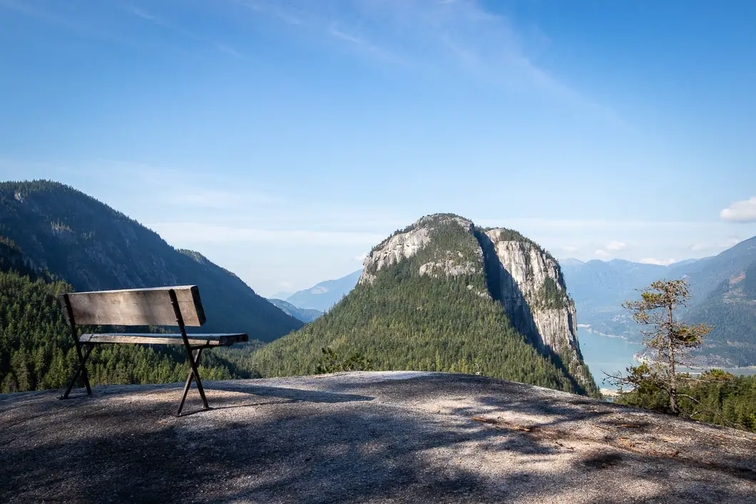
Head back to the main trail, and continue right again, on what appears to be the remnants of an old logging road. Just a few minutes from Tony’s Lookout junction, you will find another trail that shoots off to the left from the main trail. It’s not an obvious junction if you’re not looking for it, so make sure you have a sharp eye. When we did this hike, there was pink tape on a tree at the junction.
The next section is steep. There’s a very faint trail that will lead you to a rock wall and you will go to the right, with the wall on your left.
As you climb, there will be a large rock and a small viewpoint to your left. You can stop here to sneak in another quick view of The Chief and catch your breath. It’s not quite as scenic as Tony’s Lookout, but still a good opportunity to rest.
Keep grinding up the trail. The trail will level off before reaching one final rock wall in front of you. The trail splits here. First, we’ll go left to summit Slhanay before returning to this spot and carrying on to the right.
Going left, it’s just another minute or two of following the trail to reach the summit of Slhanay (south peak). This peak sits at 665 m elevation.
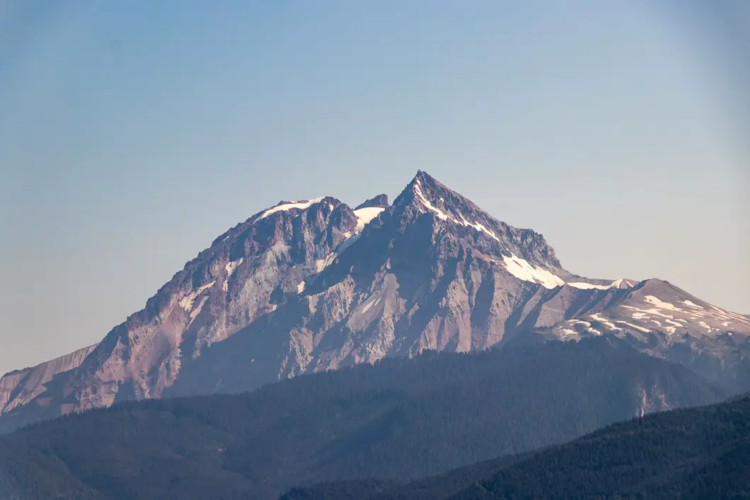
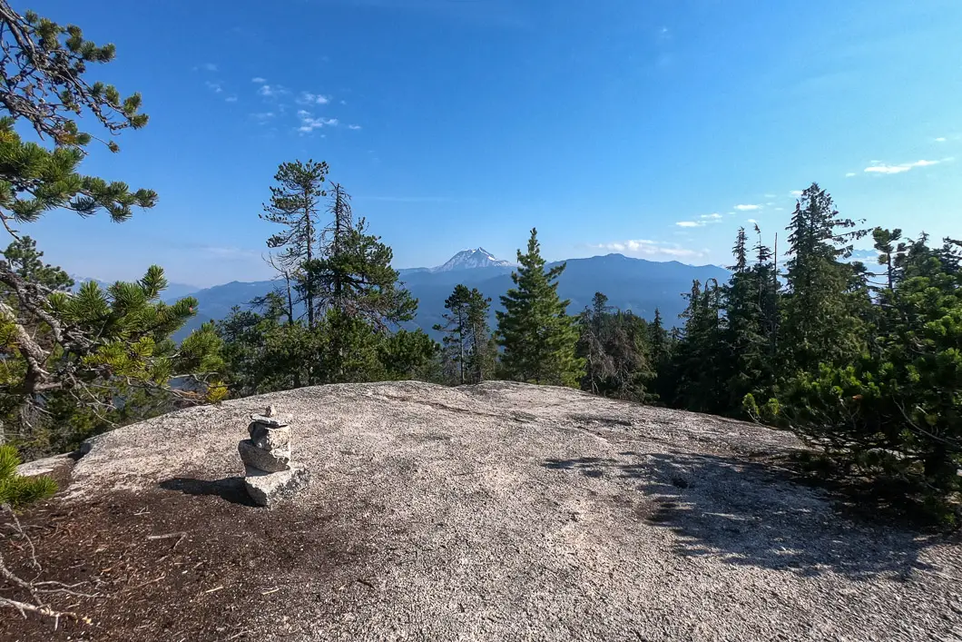
There’s a cairn at the summit and views in all directions. You can see The Chief and Mount Garibaldi prominently. Partially obstructed, the view is not quite as nice as the previous lookouts but is still gorgeous, and it always feels great to reach a summit.
When ready, return to the previous junction and carry on heading north.
The trail meanders down through the forest, which is a nice break from all the climbing. After 10 minutes or so, you’ll come to a four-way intersection. Head left here.
The trail continues to be single-track but is not nearly as rooty and rocky as before. It is much easier hiking, and there are still a few orange markers to help guide you.
After an enjoyable section of flat trail, you’re going to reach a junction. You’re going to stay to the right to detour to the north summit of Slhanay. You’ll know you’re at this junction if you see several larger boulders in this area (if you see a sign for Big Drop Valley, you’ve gone just a little bit too far).
It takes just a few minutes to reach the northern summit of Slhanay. There are remnants of an old cabin here. From here, you have a terrific view of Al’s Habrich Ridge (a hike accessible from the Sea to Sky Gondola), the south Slahanay summit, and the top of The Chief. It’s arguably the least exciting viewpoint of the entire hike, but again, it always feels nice to reach a summit.
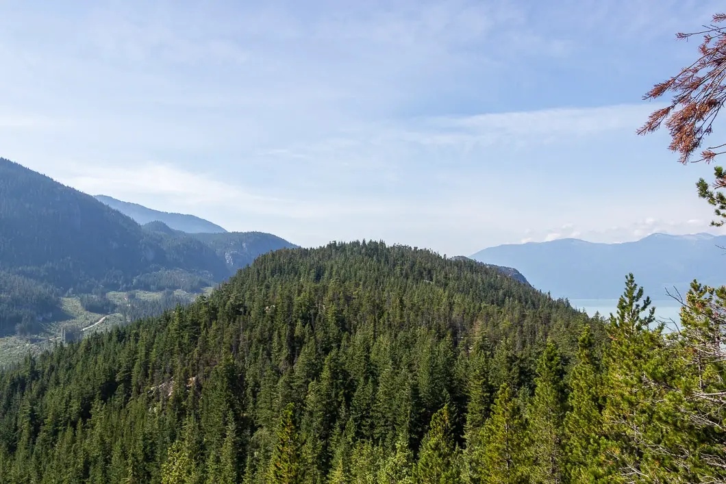
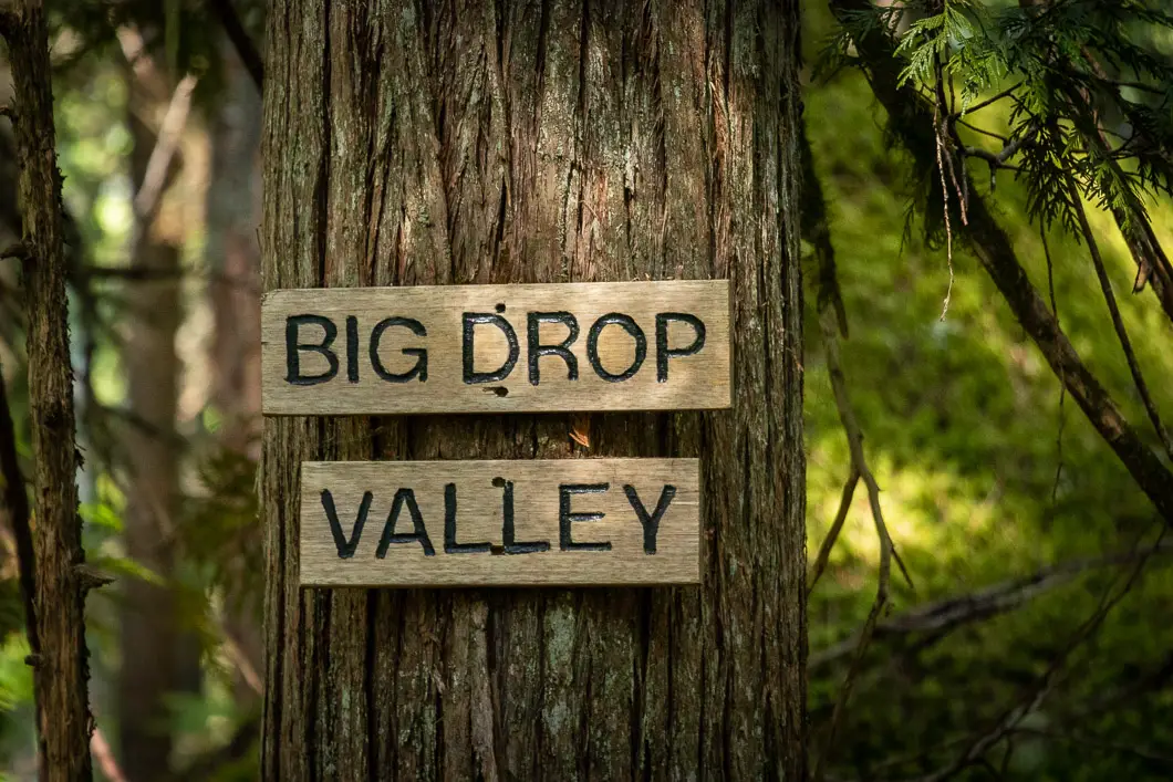
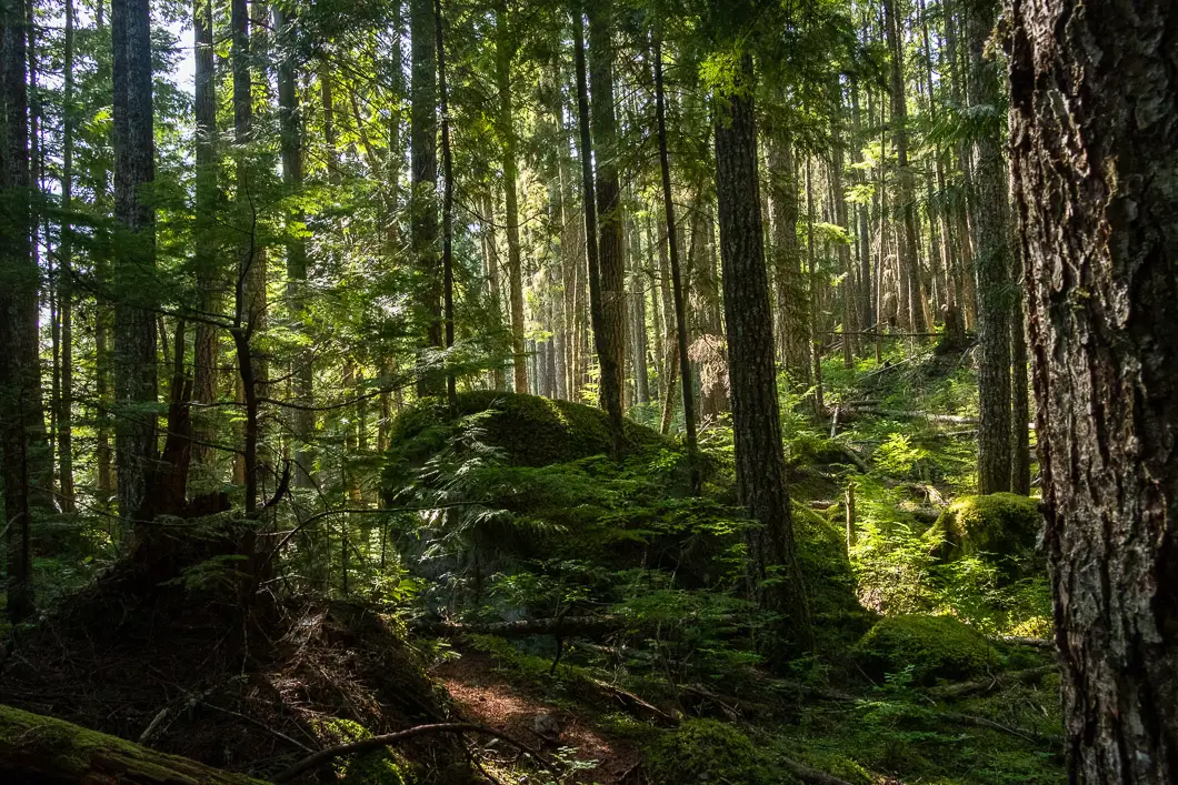
Return to the previous junction and head right, following the sign for Big Drop Valley. This section is aptly named, as the trail down to the Mamquam FSR is one, big drop. Be very careful as you descend the mountain from here. There are ropes in several sections to assist you, with some precarious drops.
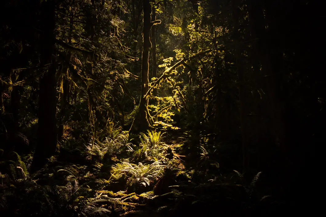
The trail once again becomes more technical and rugged. It should be easy to follow, however, and there continue to be orange markers in the trees. It should take about 45 minutes to an hour to reach the Mamquam FSR down the Big Drop Valley.
As you scramble down, you’ll come to a rock face where you can see some rock climbing anchors on the rock face. You’ll also come to a clearing where you can see a residential area of Squamish below.
Keep following the path down until you eventually reach the service road. When you do, head left.
All that’s left to do is walk 1 km along the road back to your car at the trailhead.
Download the PDF version of this guide for offline use
Directions and Parking
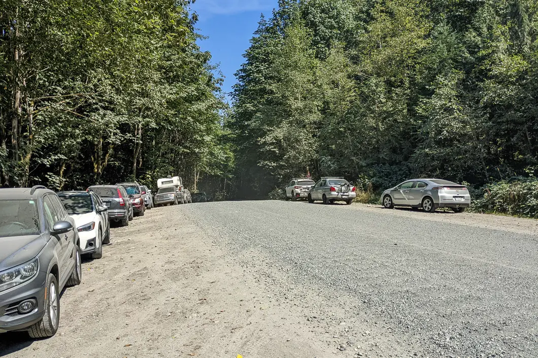
Heading north on the Sea to Sky highway, find the junction for the Mamquam Forest Service Road, just about 1.5 km beyond the parking lot for the Sea to Sky Gondola. Turn right onto the Mamquam Forest Service Road.
The road is gravel, but well maintained and doesn’t require a vehicle with large clearance to reach the trailhead.
The trailhead is about 1.7 km down the Mamquam FSR. There is a pullout area on both sides of the road, and a small quarry on your right. Park anywhere here on the side of the road.
Google Map directions are here.
Other great hikes in this area
- Stawamus Chief (moderate)
- Squamish Smoke Bluffs (easy)
- Watersprite Lake (moderate)
- View all hiking guides here


Hiking in Sweden
Really a great guide to Slhanay Peak, Thanks a lot for trail info.