Hiking the Mundy Park Trails in Coquitlam, B.C.
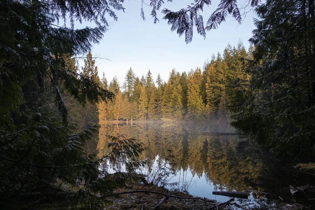
Mundy Park Hike Stats
- Rating
Difficult hikes offer big climbs with lots of elevation gain and technical terrain, some requiring a full day’s effort. Generally, difficult hikes should not be undertaken by children or novice hikers. These are rated as ‘hikes’ and not ‘walks’ so even something rated as easy may have a few sections of challenging terrain.
More on how we measure trails - Easy
- Distance
For the out-and-back hikes, the distances offered for each hike are measured from the trailhead, to the summit, and then back to the trailhead. Distances, even when provided to a fraction of a kilometer, are only rough estimates.
More on how we measure trails - 5 km
- Net Elevation Change
The listed elevation gain is the simple math of the difference in the starting elevation and the summit, in meters. It is not a cumulative calculation of the total elevation gained during the hike. This means, in most cases, you will actually climb more than the listed net elevation gain.
More on how we measure trails - Minimal
- Highest Point
- 170 m
- Time Needed
The completion times of the hikes are estimates and will, naturally, vary per individual, ability, and weather conditions. The times offered, however, are meant to be generous.
More on how we measure trails - 1.5 Hours
- Type
- Loop
- Season
Each hike has a corresponding season when the trail is most likely to be in good condition. However, as the snowmelt can vary each year, these too, are estimates. It is best to confirm the current trail conditions before heading out.
More on how we measure trails - Year-round
- Dogs Allowed
If hiking with dogs is allowed, it does not necessarily mean that the trail is ‘dog-friendly’. Even though dogs might be allowed, it may be a bad idea to bring them on certain Vancouver hikes (due to ladders, difficult sections, boulder fields, etc).
More on how we measure trails - Yes, on leash
- Est. Driving Time from Vancouver
- 40 Minutes
- Trailhead Coordinates
- 49.257937, -122.832070
*For a better understanding of the stats and difficulty rating, check out the Hiking Guides page for details. Always carry The Essentials and fill out a trip plan.
Usually in season as shown; check current conditions before you go.
Mundy Park Hike Intro
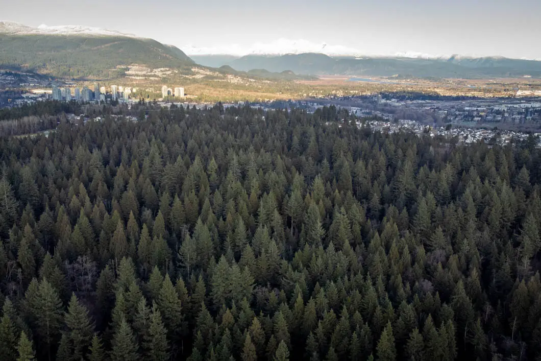
Mundy Park is a large urban park in Coquitlam. In fact, Mundy Park is the largest park in Coquitlam, measuring 174 hectares. There are two small but scenic lakes in the park – Mundy Lake and Lost Lake.
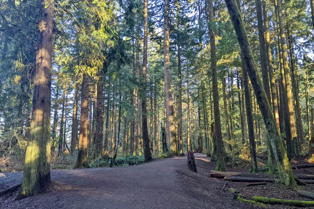
The park offers a large network of peaceful walking trails. Because of the numerous shaded trails, Mundy Park is a favourite walking area for many locals.
The trails in the park are all wide, well-groomed, and mostly flat. This makes the park great for family outings. Most of the trails are accessible by wheelchair and stroller as well.
Mundy Park also offers many amenities, including a swimming pool, disc golf, sports fields, a large playground, and more.
Mundy Park is home to a variety of wildlife, including deer, raccoons, coyotes, black bears, and a wide variety of birds. Endangered painted turtles are also being protected in Lost Lake thanks to the help of volunteers.
Cool fact: “Mundy Park was originally named ‘Munday Park’ after George Munday, who originally bought the land. The reason for the changed name is unknown”. [source]
Dogs in Mundy Park
Mundy Park is a great place to take dogs, as most of the trails in Mundy Park are dog-friendly.
Off-leash times: Dogs are permitted to be off-leash from dawn to 10 am. After 10 am, dogs must be on-leash.
Off-leash fenced area: There is a fenced off-leash area in the east end of the park (close to the entrance off Chilko). This area is open from dawn to dusk.
Please note, there are a few ecologically sensitive areas of the park where dogs are prohibited altogether. This is mostly on the trails immediately around Mundy Lake, but also near Lost Lake.
For more information about dogs in Mundy Park, please see the City of Coquitlam website.
Mundy Park Video
Mundy Park Hike Map and Elevation
Map and elevation profile
The listed elevation gain is the simple math of the difference in the starting elevation and the summit, in meters. It is not a cumulative calculation of the total elevation gained during the hike. This means, in most cases, you will actually climb more than the listed net elevation gain.
More on how we measure trailsMap loads as it approaches the screen.
Mundy Park Hiking Route
As there are many trails within Mundy Park, you can choose a route and distance that makes sense for you. In the description below, we’ll guide you along a 4 km, circular route along the outermost trail of the park. This route makes quick detours to both lakes within the park. Please note, dogs are not permitted on the trails near Mundy Lake. If you’re walking with dogs, you’ll need to take a slightly different route than described here but can still follow most of it.
From the northern end of the parking lot near the Spani outdoor swimming pool (directions), get onto the Nitinat Trail. There’s a junction almost immediately. Turn right on the Perimeter Trail, as this will take us on a quick detour to Mundy Lake before making a wide loop around the outermost trail of the park.
The Perimeter Trail is very wide and well-groomed, as are all the trails in the park. You’ll quickly come to another four-way junction. Go left, onto the Lakeside Loop Trail. There’s a sign that indicates this is the way to Mundy Lake. The lake is just ahead of you and there’s a viewing platform there. The platform provides a nice view across the calm lake.
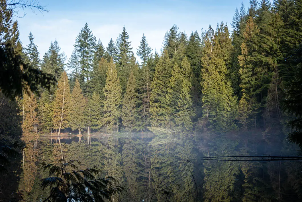
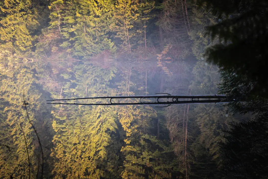
Go over the little bridge and follow the trail around the southern side of the lake to the other end.
At the other end of the lake, there’s another viewing area. The trail forks into multiple directions here. Get off the Lakeside Loop Trail and take the right-most (southernmost) trail. The trail heads uphill very slightly and then there’s another junction, roughly 50 yards away.
At the top of the small hill, you’ll come to a junction with the Interlocken Trail. Go right. At the next junction, go left onto the Waterline Trail. Walk down the path for five minutes or so and you’ll come to a junction marked for the Perimeter Trail. Follow the Waterline Trail until it connects you back with the Perimeter Trail.
Go right onto the Perimeter Trail. From here, you’re going to follow the Perimeter Trail for the remainder of the walk, and there will be fewer junctions to navigate.
Follow the path, enjoying the tall trees in the dense forest. After enjoying a long stretch of peaceful walking, you’ll come to a junction with the Interlocken Trail. To continue the loop around the park, you’ll stay straight. But if you do go to the left, you can make a quick detour for a lookout of the small but picturesque Lost Lake.
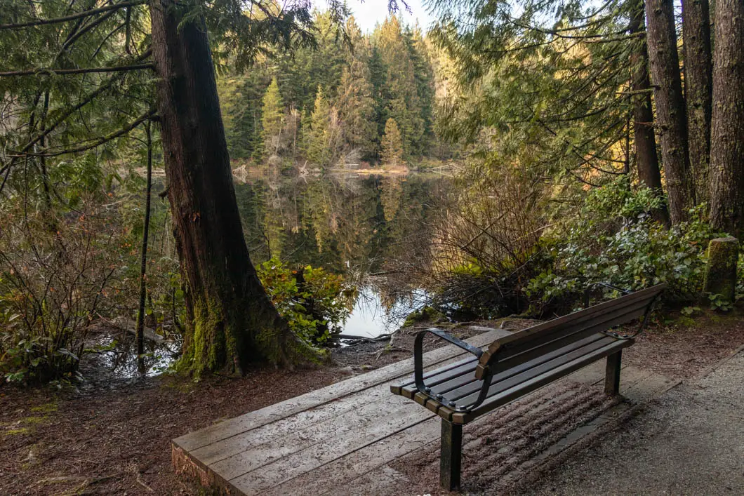
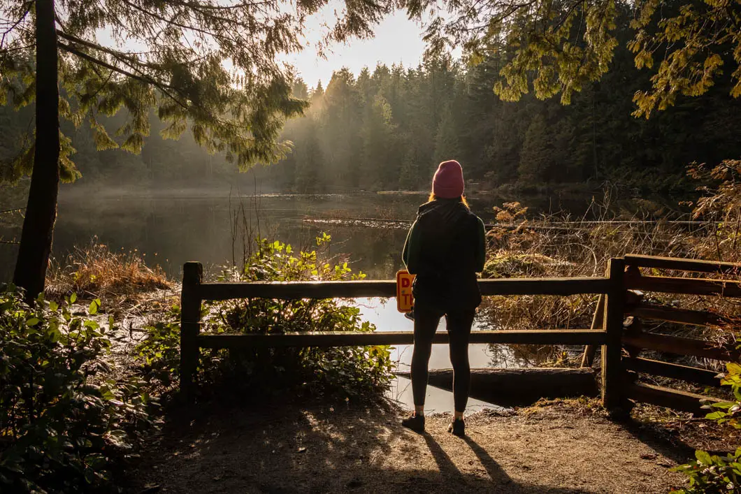
Continuing down the Perimeter Trail, you’ll come to a junction with the Austin Trail. You can go left here if you wish to visit the off-leash dog area. But to continue on the Perimeter Trail, make sure you head right and don’t carry straight onto the Austin Trail.
Follow the Perimeter Trail for about five minutes or so, and then you’ll come to a junction with the Waterline trail. Here, you will stay straight.
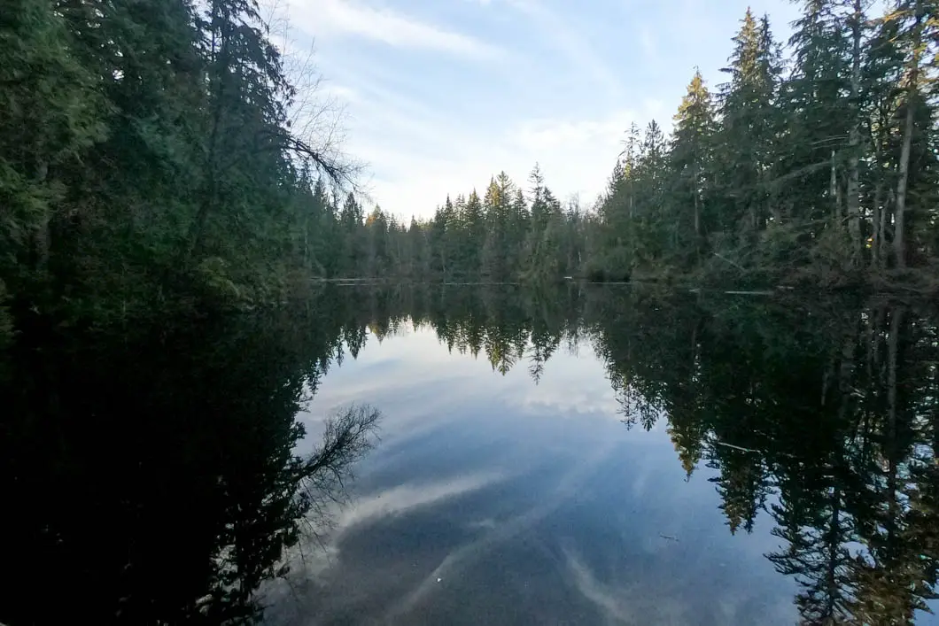
The Perimeter Trail will take you to a baseball diamond. Keep following the trail to the right, into the trees around the field. The trail will loop around the baseball diamond and lead you right back to the junction for the Nitinat Trail. A quick left here takes you back to the parking lot, where you started.
Directions and Parking
Get directions to the trailhead
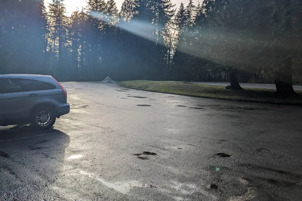
There are ten different entrances to Mundy Park, so you can park and begin your hike from the entrance which makes the most sense for you. You can see a Mundy Park trail map here. For the guide here, the hike starts at the parking area near the Spani outdoor pool.
The reach the parking area, head south on Wilmot St. if coming from Como Lake, or head north on Hilcrest St. if coming from Austin Avenue. At the junction where Foster, Hilcrest and Wilmot join, turn into the park entrance. Drive to the end of the parking lot, then turn right, following the road to a secondary parking lot tucked in behind the swimming pool.
Park here and find the trailhead at the northern end of the parking lot.
Google Map directions are here.
Other great hikes in this area
 Easy
Coquitlam Crunch
Coquitlam · Vancouver & Tri-Cities
- km
- 4
- gain m
- 242
- hours
- 1.5
- drive
- 45m
 Difficult
Diez Vistas
Anmore · Vancouver & Tri-Cities
- km
- 15
- gain m
- 440
- hours
- 7
- drive
- 50m
 Easy
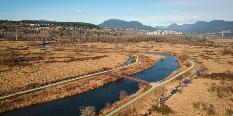
Colony Farm
Port Coquitlam · Vancouver & Tri-Cities
- km
- 6
- gain m
- 0
- hours
- 1.5
- drive
- 30m
 Easy
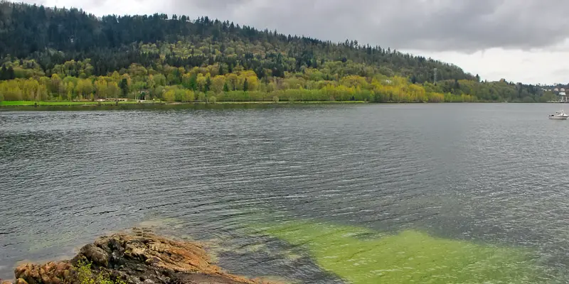
Admiralty Point
Belcarra · Vancouver & Tri-Cities
- km
- 6
- gain m
- 50
- hours
- 2.5
- drive
- 50m
More like Mundy Park
See all 21 Vancouver & Tri-Cities trails in the Finder →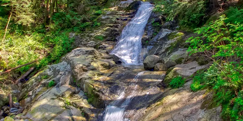 Easy
Crystal Falls
Coquitlam · Vancouver & Tri-Cities
- km
- 7
- gain m
- 75
- hours
- 2
- drive
- 40m
 Easy
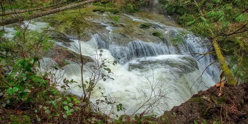
Cliff Falls (Kanaka Creek)
Maple Ridge · Vancouver & Tri-Cities
- km
- 4
- gain m
- 0
- hours
- 1.5
- drive
- 1h
Download the PDF version of this guide for offline use
Comments (1)
Comments are closed. These are archived from the original guide.
Marina Teramond —
To tell the truth, I am so glad that I came across your article because I adore hiking and I think that it is essential for maintaining a healthy lifestyle. I have been planning to visit Mundy Park for a long time, but I wasn’t aware of it in full measure. It is a huge advantage of the park that the trails are all wide because it makes your walk maximally comfortable and favorable. All these amenities the park offers indicates that it is developed to a great extent and that it stands out between others with its significant distinctive features. It is so cool that the hiking can have such an interesting path and that you can get pleasure from observing many various places. Also, there are not so many parks which provide such favorable conditions for the dogs and I think that they can feel truly comfortable there.