Here’s how you can camp on the edge of epic. We’re giving you a list of suggestions and a big dose of inspiration about how you can experience B.C.’s largest Gulf Island called Texada.
Fjallraven’s Day Hikes | Guide to Local Vancouver Trails
Are you new to hiking in Vancouver? Wondering what the best day hikes are and which gear you need to bring for your outing? If so, Fjallraven – a Swedish outdoor clothing retailer which recently opened its first Canadian store in Vancouver – is hosting a community night titled Day Hikes Guide for Beginners.

Talking about the Hanes Valley Trail on CBC
The Search and Rescue mission for missing 21 year old hiker Liang Jin made a lot of headlines this week. The 21-year-old resident of downtown Vancouver has been missing since Dec. 31, when he sent his father a text message saying he was going hiking, but failed to say where. Since then, police have searched […]
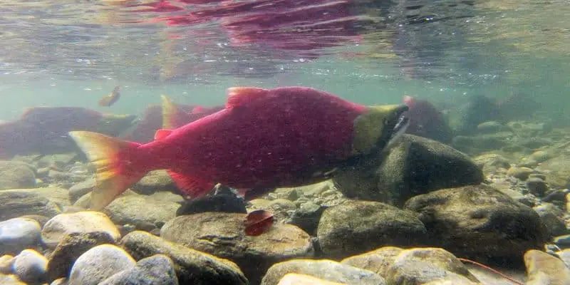
Viewing the Adams River Salmon Run
The salmon run happens every October, but it is every four years in which the salmon return in their greatest numbers (during what is called a ‘dominant’ run). 2014 was one such dominant run, and while you can see the the returning salmon at many places across the west coast, there is perhaps no better place than on the Adams River in Roderick Haig-Brown Provincial Park near Kamloops.

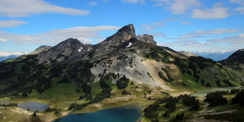
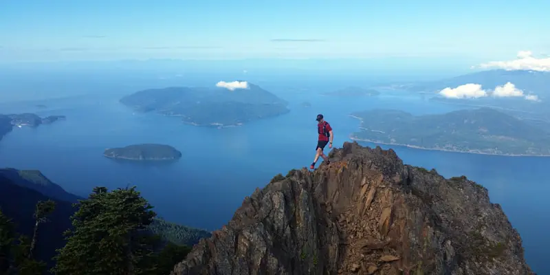
Vancouver’s Fastest Known Times
It seems like every month someone is out setting, or attempting to set, a new Fastest Known Time on one of our challenging local routes. Fastest Known Times, or FKTs, are a friendly competition of becoming the fastest person to complete a given route.
Where to Follow and How to Support Outdoor Vancouver
In this post, you’ll find a list of the platforms Outdoor Vancouver can be found on. One these platforms we share when new hiking trail guides are posted and we share other relevant local outdoor news stories.
We love connecting with our readers, so please reach out and say hi!