Cypress Lake – Table of Contents
- Hike Introduction
- Hike Statistics
- Cypress Lake Video
- Map and Elevation
- Hiking Route Description
- Directions and Parking
- Free PDF Download
- 360° Photosphere
Cypress Lake Hike Intro
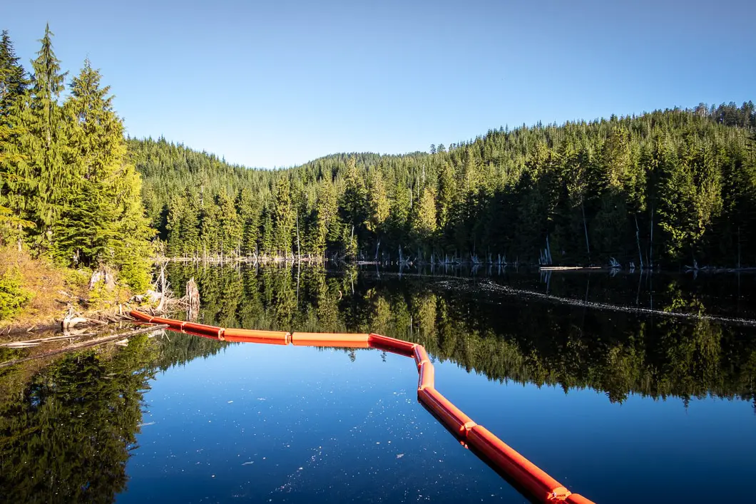
Cypress Lake is a lesser-known hike in Coquitlam, starting near the Westwood Plateau golf course.
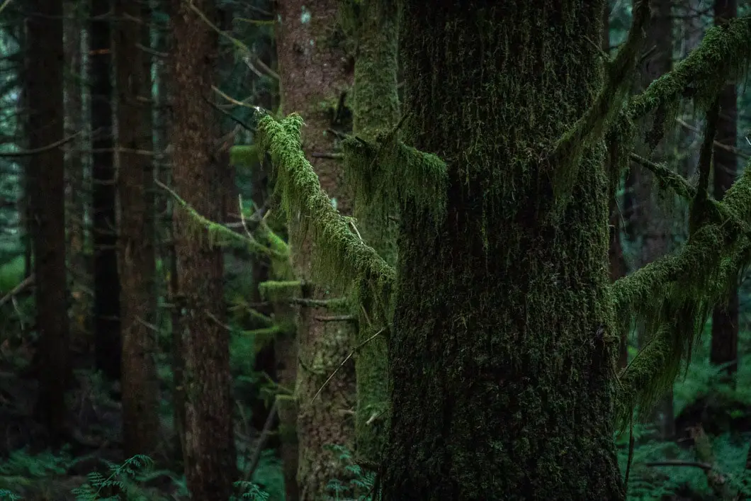
Cypress Lake is accessed via a forest service road that is used for off-road vehicles. While this doesn’t make the trail itself the most enjoyable, the hike in is still peaceful and the forest is scenic.
It is a steady, uphill climb to reach Cypress Lake, which sits at about 800 m elevation.
There are many trails in this area. A nearby trail takes you to a nice viewpoint overlooking Vancouver. Cypress Lake could also be hiked as an extension to longer hikes, like Eagle Mountain and Cypress Mountain.
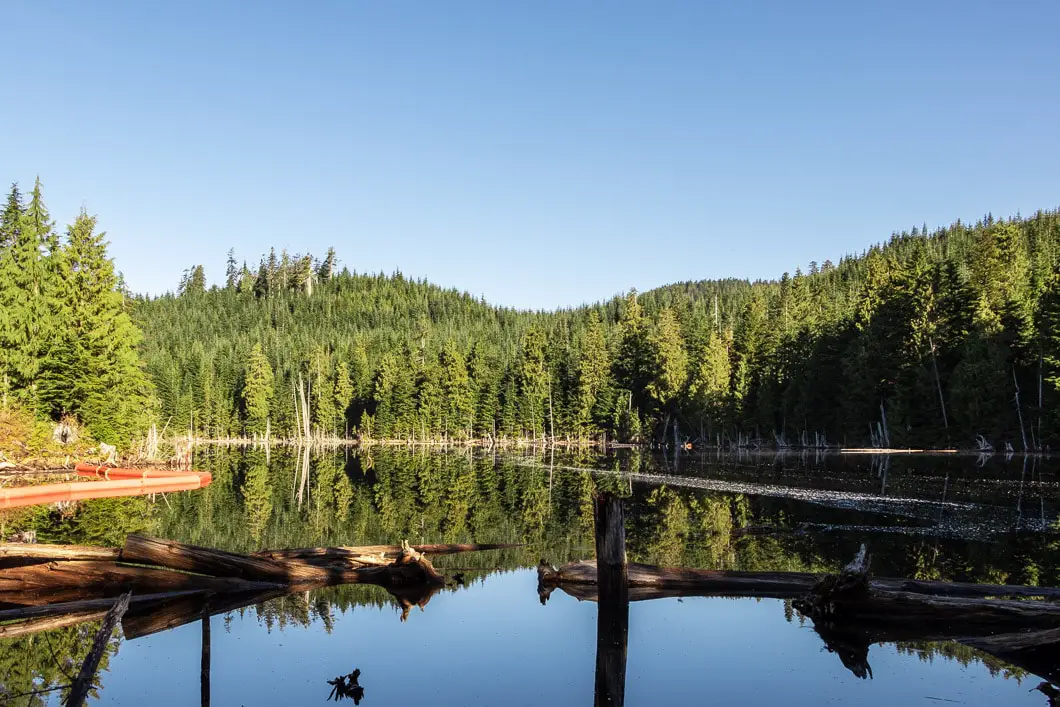
The lake itself is small, and is not ideal for swimming. However, it is still picturesque, and well-worth the trip if you’re looking for a half-day hike that is on the difficult side of easy.
Cypress Lake Hike Stats
Rating: Easy
Distance: 8.5 km
Net Elevation Change*: 452 m
Highest Point: 806 m
Time Needed: 3.5 Hours
Type: Out-and-back
Season: March – November
Dogs Allowed: Yes
Est. Driving Time from Vancouver: 45 Minutes
Trailhead Coordinates: 49.322522, -122.795114
*For a better understanding of the stats and difficulty rating, check out the Hiking Guides page for details. Always carry The Essentials and fill out a trip plan.
Cypress Lake Video
Here is a 5-minute video of our experience on this hike!
Cypress Lake Hike Map and Elevation
Cypress Lake
Profile
Cypress Lake Hiking Route
To begin, walk up the paved road through the parking area (directions) to the green gate. The gate has a sign marked for off-road vehicle access. Go past the gate and start walking up the paved road. The road will curve to the left, heading uphill.
The road will snake uphill for about five minutes before reaching another green gate ahead of you with a junction. Go to the right, onto the rocky path leaving the paved road.
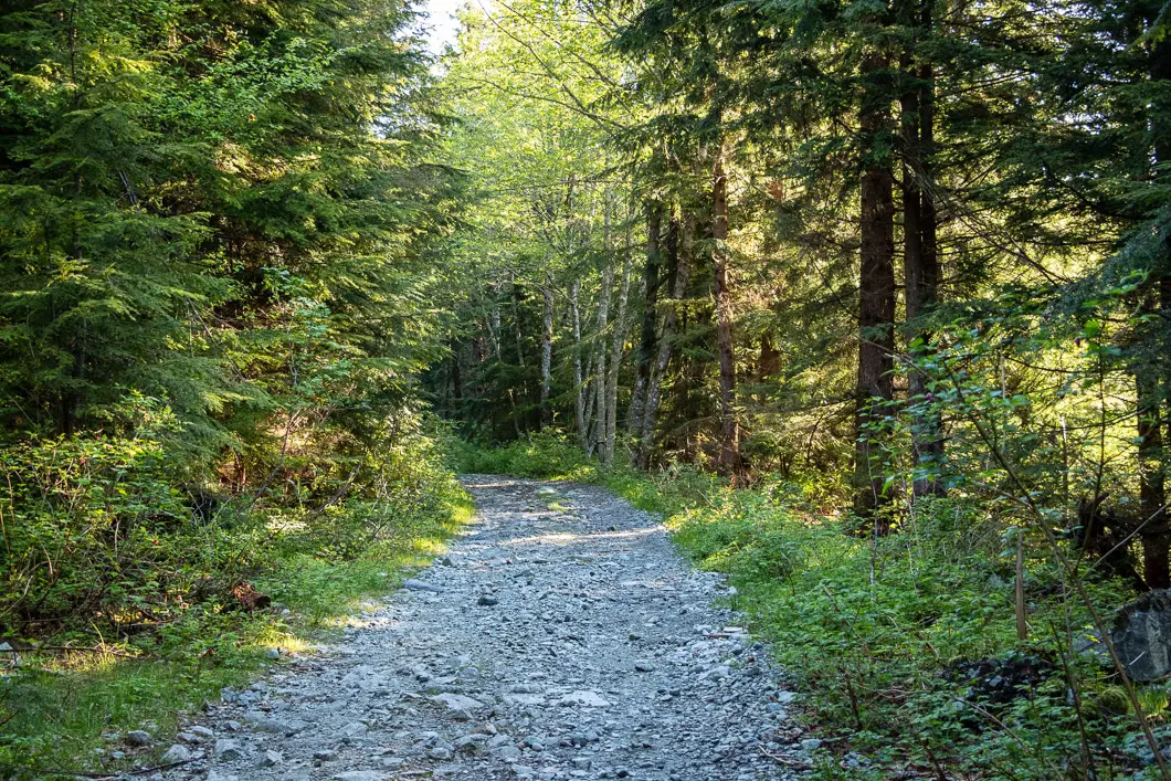
Follow the gravel road for another 10 to 15 minutes before reaching another junction. At this junction, stay to the right, heading up the path that climbs uphill more steeply. This is a steep section of trail that gets your heart rate going. There will be a few ditches on the road where there may be some small streams you have to cross, depending on the time of year.
For the next kilometer or so, follow the road as it continues to climb uphill. About 30 minutes into the hike at a steady pace, you will come to a major Y-shape junction.
You’re going to go left here and carry along the trail.
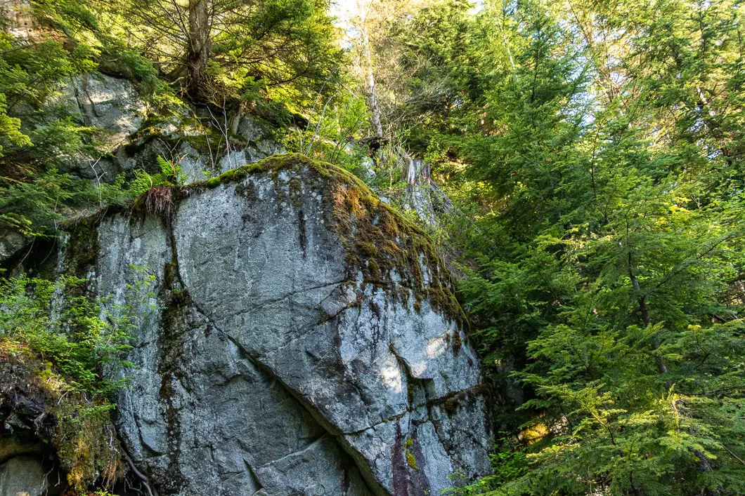
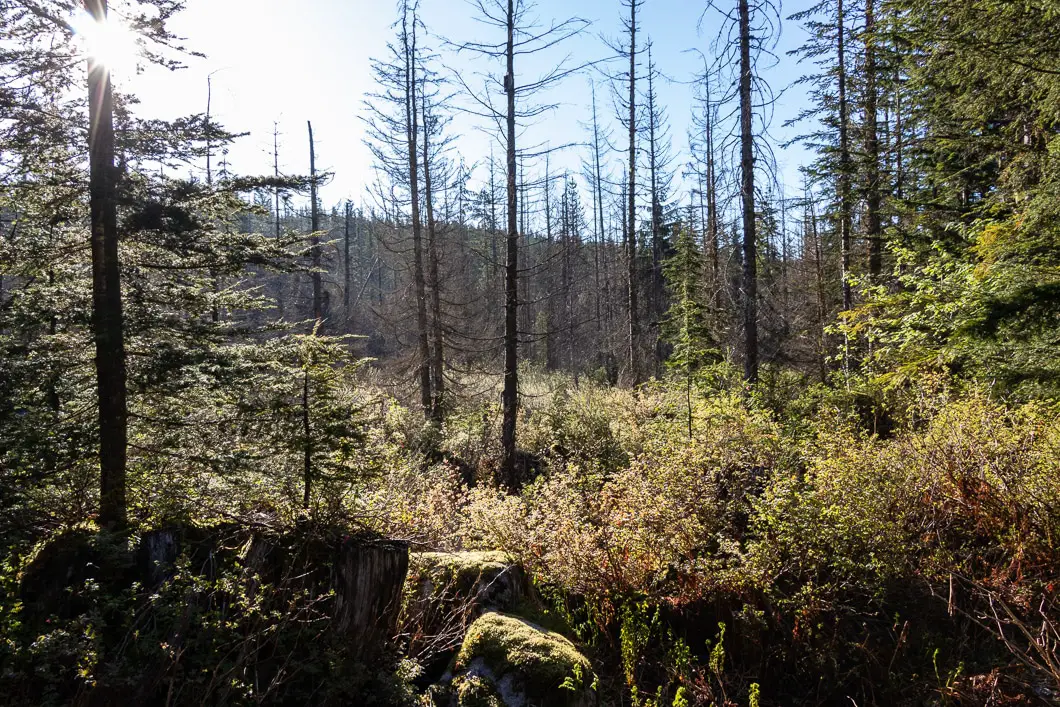
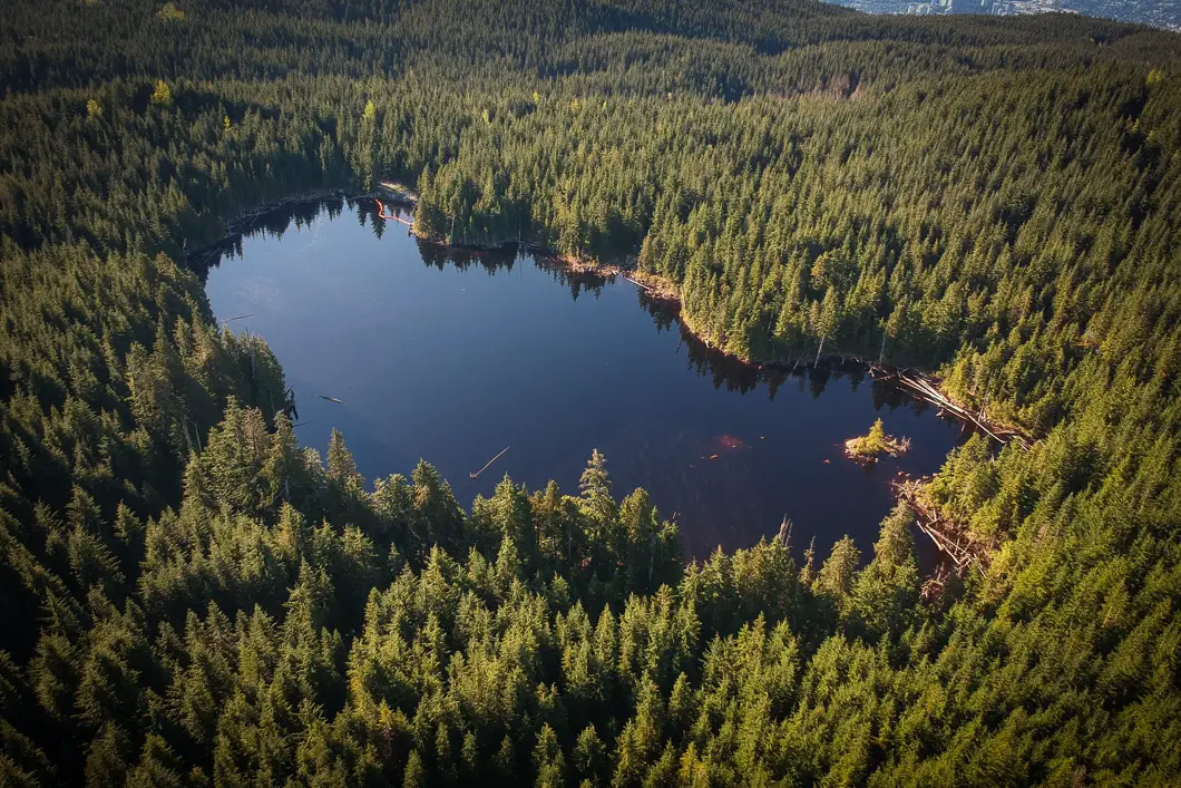
After you go left at the junction, the trail flattens out. After about five minutes you’re going to make a right around a corner. The trail will drop downhill and you’ll cross Noons Creek. In the spring, the flow is decent and you’ll need to navigate some large rocks and a log to get across without getting wet. In the late summer, it might not be more than a trickle.
Once you cross over the creek, there is a T-junction. You will head to the right, following the creek upstream. The trail remains a rocky road but it doesn’t climb as sharply as before.
Soon after, you’ll come to another T-junction at a small stream crossing. Go right. This is roughly 3 km and 2 hours into the hike.
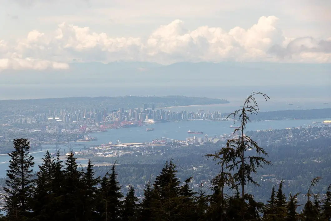
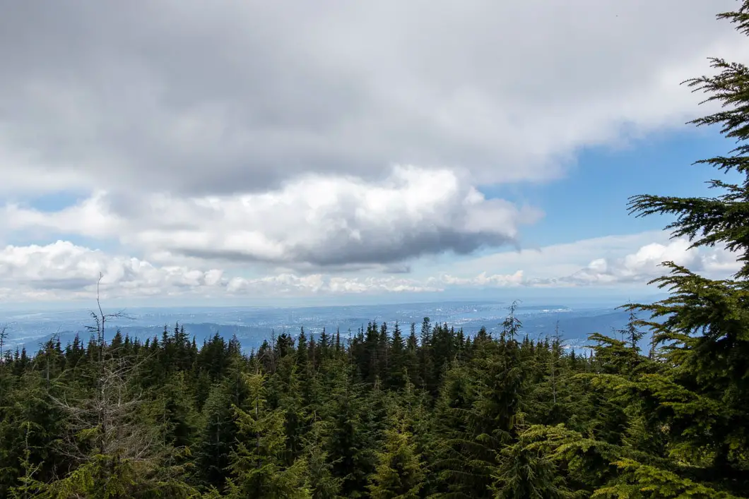
Sidenote: Going left here takes you to a viewpoint overlooking Vancouver. If you wish to detour to the viewpoint, you can go left here, then double-back. You should budget at least 30 minutes extra to detour to the lookout and back.
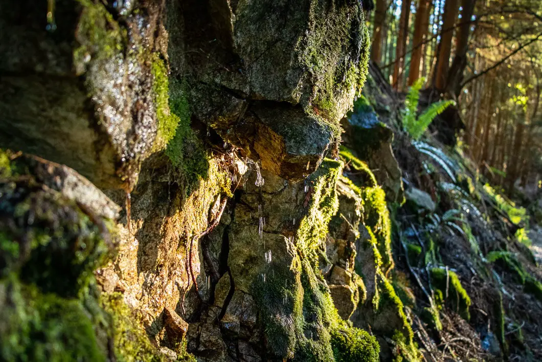
Walk a few minutes further and you will come to a Y-junction split in the trail. Go left, onto the trail that leads up the hill hugging the cliff wall.
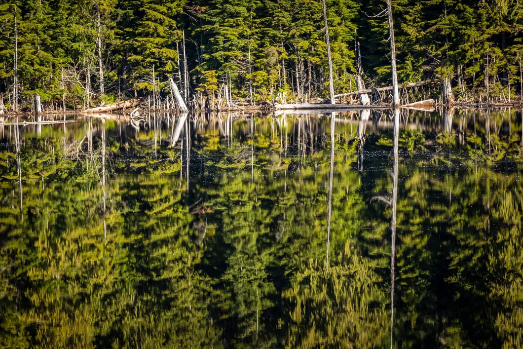
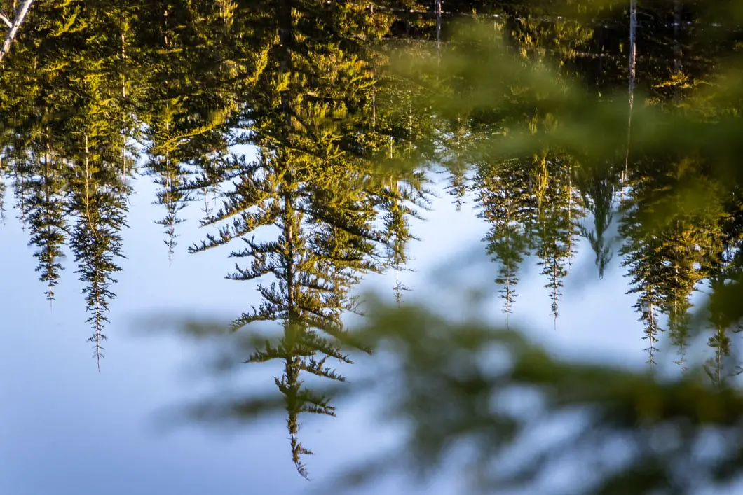
It’s just a few more minutes before you reach one final junction. Cypress Lake is on your left, so make sure you don’t miss the junction. If you pass by a sign marked for Recreation Sites and Trails BC, you’ve gone too far.
Download the PDF version of this guide for offline use
Directions and Parking
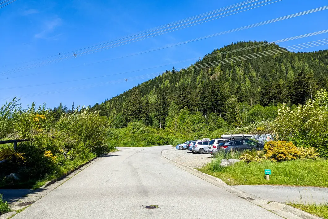
In Coquitlam, take Pinetree Way north from Lougheed Highway. Where Pinetree ends, take a right at the 4-way stop onto Plateau Blvd.
Follow Plateau Blvd all the way to the top. You will drive through a gate at the corner of Plateau and Parkway to access the gravel parking area.
Google Map directions are here.
Other great hikes in this area
- Sawblade Falls (easy)
- Coquitlam Crunch (easy)
- High Knoll (easy)
- View all hiking guides here


Jeff F
Beautiful late summer day (September 9), 1/2 way to the lake spotted one bear, was warned about a second one a little later.
Melanie Basso
We attempted to hike to Cypress Lake on Friday April 30th. We got to the 2.5 km mark and were unable to safely cross the stream. The stream was running very fast and water was overflowing the logs that were to be used for crossing. We backtracked and ended up going up to the East Lookout which was lovely