Bridal Veil Falls – Table of Contents
- Hike Introduction
- Hike Statistics
- Bridal Veil Falls Video
- Map and Elevation
- Hiking Route Description
- Directions and Parking
- Free PDF Download
Bridal Veil Falls Hike Intro
Bridal Veil Falls is a beautiful and iconic waterfall in the Fraser Valley. Bridal Falls is a popular tourist spot and a great place to pull over and stretch your legs during a drive along Highway 1 in Chilliwack.
There is a picnic area in the park, and Bridal Falls is a nice place to bring the family on a warm day.
It’s a short walk on an easy path to reach the Bridal Veil Falls waterfall, which is spectacular.
Bridal Veil Falls Hike Stats
Rating: Easy
Distance: 800 meters
Net Elevation Change*: 80 m
Highest Point: 200 m
Time Needed: 30 Minutes
Type: Out-and-back (or loop)
Season: Year-round
Dogs Allowed: Yes, on leash
Est. Driving Time from Vancouver: 1 Hour 20 Minutes
Trailhead Coordinates: 49.185301, -121.744080
*For a better understanding of the stats and difficulty rating, check out the Hiking Guides page for details. Always carry The Essentials and fill out a trip plan.
Bridal Veil Falls Video
Here is a 1-minute video of our experience on this hike!
Bridal Veil Falls Hike Map and Elevation
Bridal Falls
Profile
Bridal Veil Falls Hiking Route
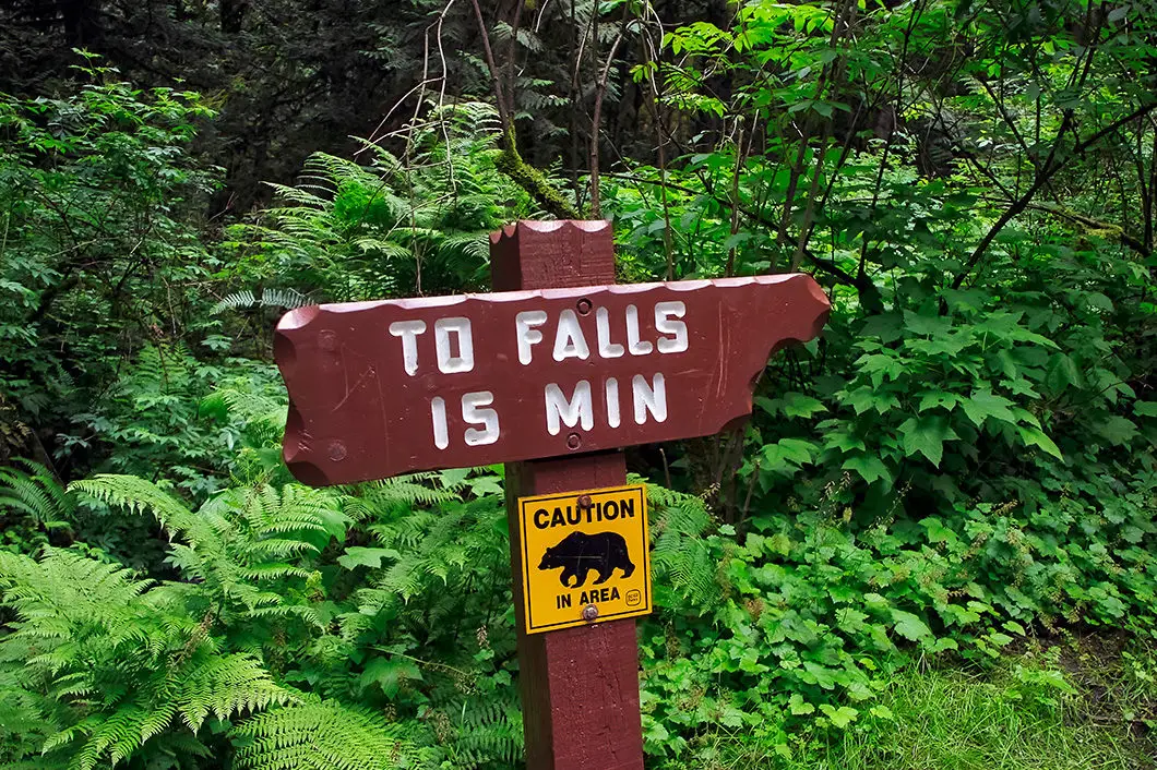
From the bathroom at the parking lot, follow the sign that reads “To Falls 15 Min”. The trail is wide and well-groomed. The trail is flat enough that you could bring a stroller if you wanted.
The forest here is filled with broadleaf maple and cedar trees.
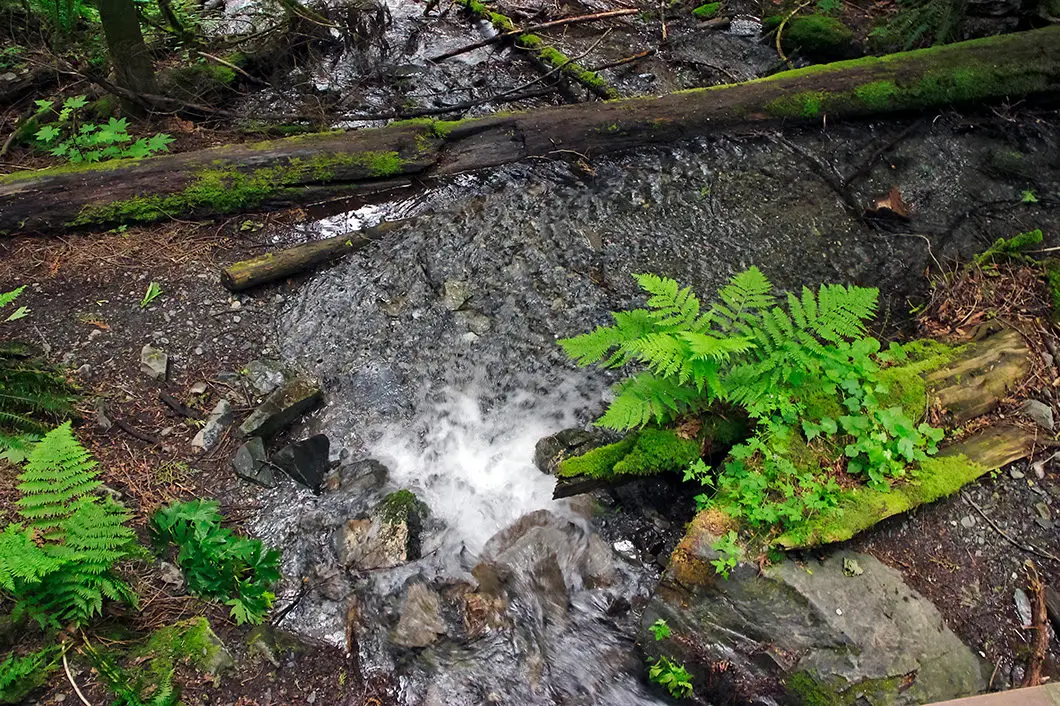
After a few minutes, you will see Bridal Creek on your left. You will then come to a wooden bridge and cross over the creek.
After you cross over the bridge, the trail climbs up for a short way. It will take you about five minutes to walk up the hill. As you approach the top of the hill, you will see Bridal Falls ahead of you through the trees.


Cool fact: Bridal Veil Falls Provincial Park is 32 acres. The park opened in 1965 to protect the falls and provide day use recreation. In the early 1900s, the waterfall was used to generate electricity for the Bridal Falls Chalet. [source]
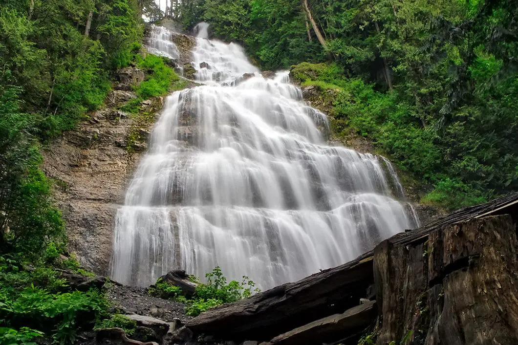
Keep following the path to the end, and you will reach a viewpoint overlooking the amazing Bridal Veil Falls.
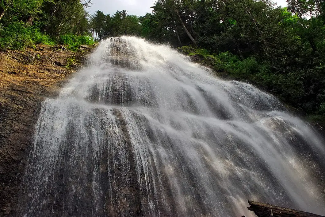
Linger, and watch the water tumble 60 meters down the impressive falls (the total waterfall drops 120 meters, but only about 60 meters can be seen from the bottom). It’s easy to see where the waterfall received its name, as the wide, smooth ledge creates a beautiful stream of thin, white water. The flow of water comes from Mount Archibald, and the water streams down Bridal Creek to your right. Bridal Creek carries into Cheam Lake Wetlands Regional Park and then spills into the Fraser River.
When you’ve finished looking at Bridal Falls, you can return to your car the same way. Or, if you wish to extend your hike slightly, you can do some further walking along the Woodland Trail, which also loops back to the parking lot.
Download the PDF version of this guide for offline use

Directions and Parking
Follow the Trans-Canada Hwy/BC-1 E towards Chilliwack. Take exit #135 to Bridal Falls Rd. Take a left onto Bridal Falls Road, and a right onto Page Road. Follow Page Road into the park.
Google Map directions are here.
Other nearby hikes
- Lindeman Lake (moderate)
- Elk Mountain (easy)
- Teapot Hill (easy)
- View all hiking guides here


sound of Text
I enjoyed this hike! The falls are beautiful and the hike is easy.